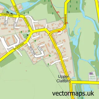
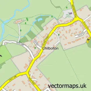
This Goodworth Clatford street map is a detailed vector street map covering a 750m x 750m area. Select a larger area to create and download your own vector street map of Goodworth Clatford.
The 750-metre map sample for Goodworth Clatford covers 196 mapped buildings and approximately 6.0 km of road detail, of which 8 named roads are named. The immediate area includes 1 school, 3 pubs and 3 MOT stations within 2 miles. The wider area around Goodworth Clatford features 1 tourism point of interest and 3 food and drink venues. To create a larger or custom map of Goodworth Clatford, the map builder lets you define your own coverage area and download editable SVG, PDF and PNG files.
Create a larger editable map of Goodworth Clatford
Choose any area you need and generate a high-quality vector map instantly. Perfect for print, planning, design, business and personal use.

This Goodworth Clatford street map in Hampshire is available as downloadable SVG, PDF and PNG map files, or as a printed map for planning, business, display, education, local information and design work. You can also create a larger custom map area using the map selector.
What this Goodworth Clatford map sample shows
Goodworth Clatford lies within Goodworth Clatford Cp parish, part of Anna ward in the Test Valley District local authority area. The postcode geography for this area includes the SP postcode area, the SP11 postcode district and the SP11 7 postcode sector. Residents fall under the Nhs Hampshire And Isle Of Wight Integrated Care Board for NHS services.
Local features near Goodworth Clatford
Within 2 milesAmenities and services in and around Goodworth Clatford.
Administrative and postcode information for Goodworth Clatford
Goodworth Clatford lies within Goodworth Clatford Cp parish, part of Anna ward in the Test Valley District local authority area. The postcode geography for this area includes the SP postcode area, the SP11 postcode district and the SP11 7 postcode sector. Residents fall under the Nhs Hampshire And Isle Of Wight Integrated Care Board for NHS services.
Nearby street map samples around Goodworth Clatford
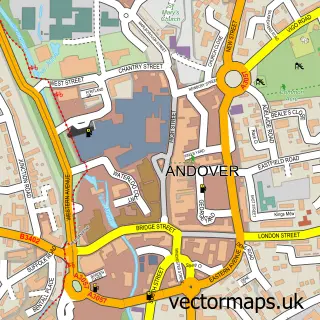

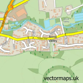
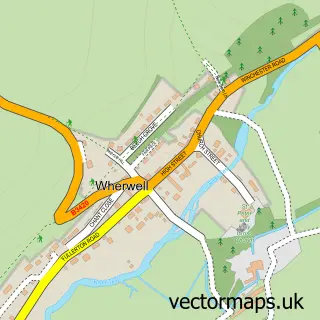

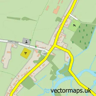
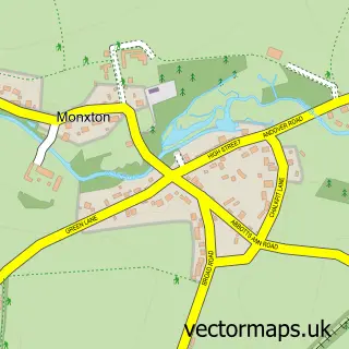
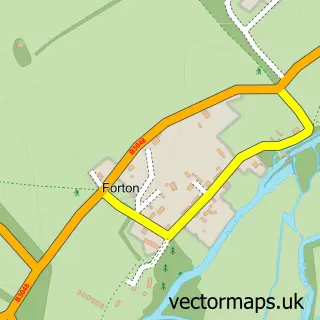
More street maps in Hampshire
750 metre map area coverage
Boundary, postcode and point of interest information for the 750m x 750m rectangle centred on this sample map.
Boundaries containing map centre
Constituency: Romsey and Southampton North Co Const
County: Hampshire County
District: Test Valley District
Icb: NHS Hampshire and Isle of Wight ICB
Parish: Goodworth Clatford CP
Police Force: hampshire
Postcode District: SP11
Postcode Sector: SP11 7
Ward: Anna Ward
Nearby boundaries intersecting sample
Parish: Upper Clatford CP
Postcode coverage
POI category counts
Pub: 3
Professional Services: 2
Alternative Medicine: 1
Bar: 1
Convenience Store: 1
Driving Range: 1
Elementary School: 1
Gas Station: 1
Hair Salon: 1
Industrial Equipment: 1
Sample points of interest
- Aiki Exercise
- Clatford Arms
- Clatfords Village Store
- The Hampshire Golf Academy- Andover
- Clatford Ce (A) Primary School
- Pace
- Hair Do Salon
- Morvan Trading Ltd.
- Netresult
- Golden Wave Studio
- Mark Stockwell Osteopathy
- Goodworth Clatford Recreation Ground
Create a larger editable map of Goodworth Clatford
This sample shows only a 750 metre area. To create a larger map of Goodworth Clatford, use our map builder to choose your own coverage area, add titles and download editable SVG, PDF and PNG files.
Create a custom map of Goodworth Clatford