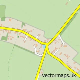
This Kings Worthy street map is a detailed vector street map covering a 750m x 750m area. Select a larger area to create and download your own vector street map of Kings Worthy.
The 750-metre map sample for Kings Worthy covers 231 mapped buildings and approximately 17.3 km of road detail, of which 17 named roads are named. The immediate area includes 3 GP surgeries within 2 miles, 5 pubs and 2 MOT stations, with 10 within 2 miles. The wider area around Kings Worthy features 6 food and drink venues. To create a larger or custom map of Kings Worthy, the map builder lets you define your own coverage area and download editable SVG, PDF and PNG files.
Create a larger editable map of Kings Worthy
Choose any area you need and generate a high-quality vector map instantly. Perfect for print, planning, design, business and personal use.

This Kings Worthy street map in Hampshire is available as downloadable SVG, PDF and PNG map files, or as a printed map for planning, business, display, education, local information and design work. You can also create a larger custom map area using the map selector.
What this Kings Worthy map sample shows
Kings Worthy lies within Headbourne Worthy Cp parish, part of The Worthys ward in the Winchester District (B) local authority area. The postcode geography for this area includes the SO postcode area, the SO23 postcode district and the SO23 7 postcode sector. Residents fall under the Nhs Hampshire And Isle Of Wight Integrated Care Board for NHS services.
Local features near Kings Worthy
Within 2 milesAmenities and services in and around Kings Worthy.
Administrative and postcode information for Kings Worthy
Kings Worthy lies within Headbourne Worthy Cp parish, part of The Worthys ward in the Winchester District (B) local authority area. The postcode geography for this area includes the SO postcode area, the SO23 postcode district and the SO23 7 postcode sector. Residents fall under the Nhs Hampshire And Isle Of Wight Integrated Care Board for NHS services.
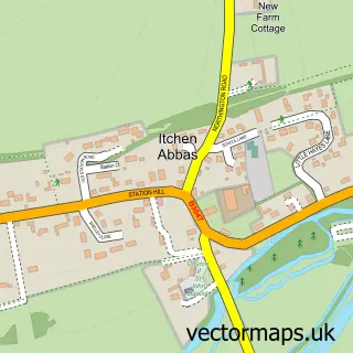
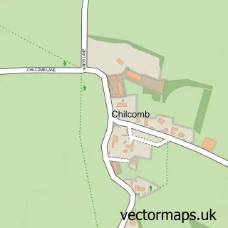
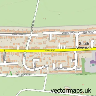
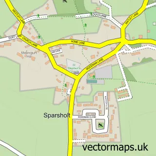
Nearby street map samples around Kings Worthy
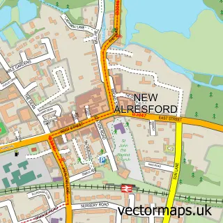

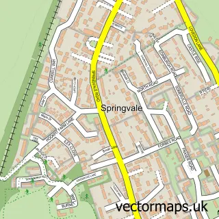
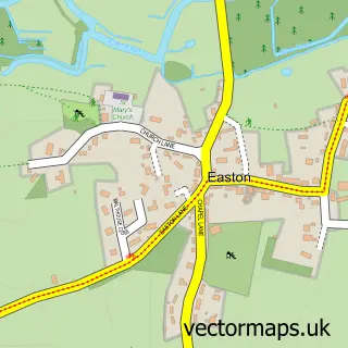
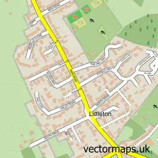
More street maps in Hampshire
750 metre map area coverage
Boundary, postcode and point of interest information for the 750m x 750m rectangle centred on this sample map.
Boundaries containing map centre
Constituency: Winchester Co Const
County: Hampshire County
District: Winchester District (B)
Icb: NHS Hampshire and Isle of Wight ICB
Parish: Kings Worthy CP
Police Force: hampshire
Postcode District: SO23
Postcode Sector: SO23 7
Ward: The Worthys Ward
Nearby boundaries intersecting sample
Parish: Headbourne Worthy CP, Itchen Valley CP
Postcode District: SO21
Postcode Sector: SO21 1
Ward: Alresford & Itchen Valley Ward
Postcode coverage
POI category counts
Pub: 5
Automotive Repair: 3
Church Cathedral: 2
Home Improvement Store: 2
Advertising Agency: 1
Anglican Church: 1
Assisted Living Facility: 1
Auto Detailing: 1
Automotive: 1
Breakfast And Brunch Restaurant: 1
Sample points of interest
- M C C
- St Mary's
- Cornerways
- Könings Detailing Ltd.
- Snows Volvo Winchester
- Itchen Motor Co
- Kings Worthy Garage
- SDN Motors
- Toast and Tea Breakfast and After School Club, Kings Worthy
- Belinda Clark Confectioner
- Volvo Car UK
- Accutek
Create a larger editable map of Kings Worthy
This sample shows only a 750 metre area. To create a larger map of Kings Worthy, use our map builder to choose your own coverage area, add titles and download editable SVG, PDF and PNG files.
Create a custom map of Kings Worthy