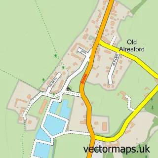
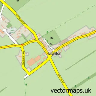
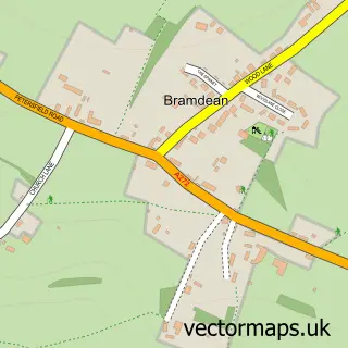
This New Alresford street map is a detailed vector street map covering a 750m x 750m area. Select a larger area to create and download your own vector street map of New Alresford.
The 750-metre map sample for New Alresford covers 300 mapped buildings and approximately 14.8 km of road detail, of which 30 named roads are named. The immediate area includes 1 school, 1 railway station, 1 GP surgery and 4 pubs among other local services. The wider area around New Alresford features 2 tourism points of interest, 11 food and drink venues and 1 hotel. To create a larger or custom map of New Alresford, the map builder lets you define your own coverage area and download editable SVG, PDF and PNG files.
Create a larger editable map of New Alresford
Choose any area you need and generate a high-quality vector map instantly. Perfect for print, planning, design, business and personal use.

This New Alresford street map in Hampshire is available as downloadable SVG, PDF and PNG map files, or as a printed map for planning, business, display, education, local information and design work. You can also create a larger custom map area using the map selector.
What this New Alresford map sample shows
New Alresford lies within New Alresford Cp parish, part of Alresford And Itchen Valley ward in the Winchester District (B) local authority area. The postcode geography for this area includes the SO postcode area, the SO24 postcode district and the SO24 9 postcode sector. Residents fall under the Nhs Hampshire And Isle Of Wight Integrated Care Board for NHS services.
Local features near New Alresford
Within 2 milesAmenities and services in and around New Alresford.
Administrative and postcode information for New Alresford
The local authority covering New Alresford is Winchester District (B), within the county of Hampshire. The settlement lies within Alresford And Itchen Valley ward and New Alresford Cp civil parish. The SO24 postcode district and SO24 9 postcode sector serve the immediate area. NHS provision in the area is delivered through Hampshire Hospitals Nhs Foundation Trust.
Nearby street map samples around New Alresford

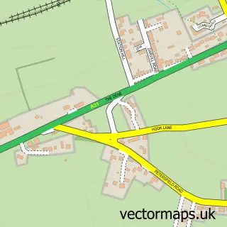
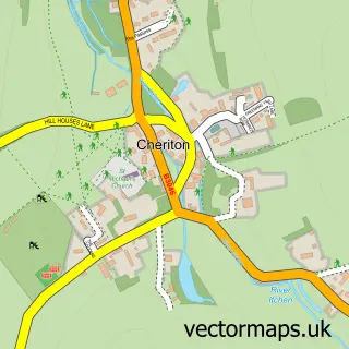
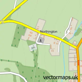
More street maps in Hampshire
750 metre map area coverage
Boundary, postcode and point of interest information for the 750m x 750m rectangle centred on this sample map.
Boundaries containing map centre
Constituency: Winchester Co Const
County: Hampshire County
District: Winchester District (B)
Icb: NHS Hampshire and Isle of Wight ICB
Parish: New Alresford CP
Police Force: hampshire
Postcode District: SO24
Postcode Sector: SO24 9
Ward: Alresford & Itchen Valley Ward
Nearby boundaries intersecting sample
Parish: Old Alresford CP
Postcode coverage
POI category counts
Clothing Store: 5
Real Estate Agent: 5
Beauty And Spa: 4
Coffee Shop: 4
Jewelry Store: 4
Pub: 4
Veterinarian: 4
Accountant: 3
Beauty Salon: 3
Butcher Shop: 3
Sample points of interest
- Butler & Co
- The Bottom Line Alresford Ltd
- Timothy Gibbons Solicitor
- CS Acupuncture
- LC Acupuncture
- Pica Design
- Westbrook Marketing
- St John the Baptist Church
- Herpetologic Ltd
- Pineapple House
- Hurrell Architecture
- Hurrell Architecture Ltd
Create a larger editable map of New Alresford
This sample shows only a 750 metre area. To create a larger map of New Alresford, use our map builder to choose your own coverage area, add titles and download editable SVG, PDF and PNG files.
Create a custom map of New Alresford