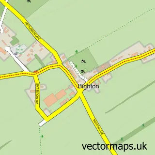
This Cheriton street map is a detailed vector street map covering a 750m x 750m area. Select a larger area to create and download your own vector street map of Cheriton.
The 750-metre map sample for Cheriton covers 116 mapped buildings and approximately 7.8 km of road detail, of which 7 named roads are named. The immediate area includes 1 school, 1 pub and 3 MOT stations within 2 miles. The wider area around Cheriton features 1 food and drink venue and 1 campsite within 2 miles. To create a larger or custom map of Cheriton, the map builder lets you define your own coverage area and download editable SVG, PDF and PNG files.
Create a larger editable map of Cheriton
Choose any area you need and generate a high-quality vector map instantly. Perfect for print, planning, design, business and personal use.

This Cheriton street map in Hampshire is available as downloadable SVG, PDF and PNG map files, or as a printed map for planning, business, display, education, local information and design work. You can also create a larger custom map area using the map selector.
What this Cheriton map sample shows
Cheriton lies within Cheriton Cp parish, part of Upper Meon Valley ward in the Winchester District (B) local authority area. The postcode geography for this area includes the SO postcode area, the SO24 postcode district and the SO24 0 postcode sector. Residents fall under the Nhs Hampshire And Isle Of Wight Integrated Care Board for NHS services.
Local features near Cheriton
Within 2 milesAmenities and services in and around Cheriton.
Administrative and postcode information for Cheriton
Cheriton lies within Cheriton Cp parish, part of Upper Meon Valley ward in the Winchester District (B) local authority area. The postcode geography for this area includes the SO postcode area, the SO24 postcode district and the SO24 0 postcode sector. Residents fall under the Nhs Hampshire And Isle Of Wight Integrated Care Board for NHS services.
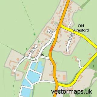
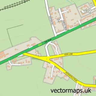
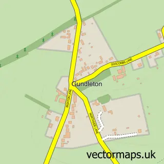
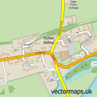
Nearby street map samples around Cheriton
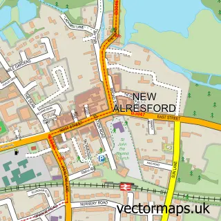

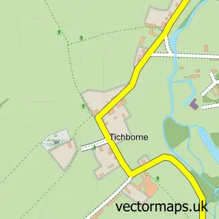
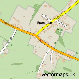
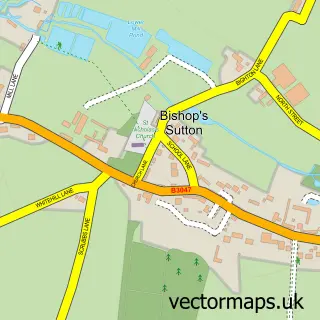
More street maps in Hampshire
750 metre map area coverage
Boundary, postcode and point of interest information for the 750m x 750m rectangle centred on this sample map.
Boundaries containing map centre
Constituency: Winchester Co Const
County: Hampshire County
District: Winchester District (B)
Icb: NHS Hampshire and Isle of Wight ICB
Parish: Cheriton CP
Police Force: hampshire
Postcode District: SO24
Postcode Sector: SO24 0
Ward: Upper Meon Valley Ward
Nearby boundaries intersecting sample
No additional intersecting boundaries found.
Postcode coverage
POI category counts
Preschool: 2
Bakery: 1
Bed And Breakfast: 1
Brewery: 1
Church Cathedral: 1
Community Services Non Profits: 1
Cricket Ground: 1
Elementary School: 1
Motorcycle Dealer: 1
Post Office: 1
Sample points of interest
- South Downs Sourdough
- Brick House Cheriton
- The Flower Pots Brewery
- St Michael and All Angels Church
- Cheriton Players
- Cheriton Cricket Club
- Cheriton Primary School
- WOR Honda
- Cheriton Post Office
- Cherry Tree Pre School
- Cherry Tree Pre School
- The Flower Pots Inn
Create a larger editable map of Cheriton
This sample shows only a 750 metre area. To create a larger map of Cheriton, use our map builder to choose your own coverage area, add titles and download editable SVG, PDF and PNG files.
Create a custom map of Cheriton