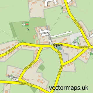
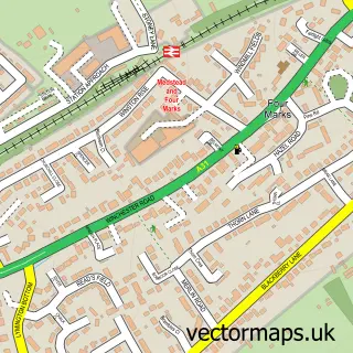
This Ropley Dean street map is a detailed vector street map covering a 750m x 750m area. Select a larger area to create and download your own vector street map of Ropley Dean.
The 750-metre map sample for Ropley Dean covers 134 mapped buildings and approximately 10.2 km of road detail, of which 8 named roads are named. The immediate area includes 1 MOT station within 2 miles. The wider area around Ropley Dean features 2 campsites within 2 miles. To create a larger or custom map of Ropley Dean, the map builder lets you define your own coverage area and download editable SVG, PDF and PNG files.
Create a larger editable map of Ropley Dean
Choose any area you need and generate a high-quality vector map instantly. Perfect for print, planning, design, business and personal use.

This Ropley Dean street map in Hampshire is available as downloadable SVG, PDF and PNG map files, or as a printed map for planning, business, display, education, local information and design work. You can also create a larger custom map area using the map selector.
What this Ropley Dean map sample shows
Ropley Dean lies within Ropley Cp parish, part of Ropley, Hawkley & Hangers ward in the East Hampshire District local authority area. The postcode geography for this area includes the SO postcode area, the SO24 postcode district and the SO24 0 postcode sector. Residents fall under the Nhs Hampshire And Isle Of Wight Integrated Care Board for NHS services.
Local features near Ropley Dean
Within 2 milesAmenities and services in and around Ropley Dean.
Administrative and postcode information for Ropley Dean
Ropley Dean lies within Ropley Cp parish, part of Ropley, Hawkley & Hangers ward in the East Hampshire District local authority area. The postcode geography for this area includes the SO postcode area, the SO24 postcode district and the SO24 0 postcode sector. Residents fall under the Nhs Hampshire And Isle Of Wight Integrated Care Board for NHS services.
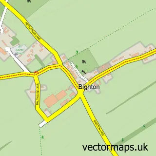
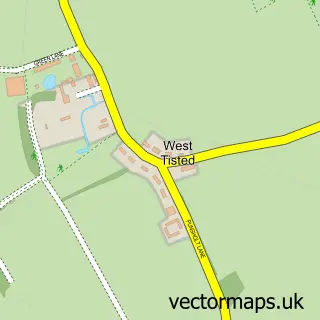
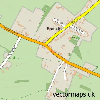
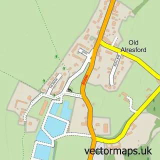
Nearby street map samples around Ropley Dean

More street maps in Hampshire
750 metre map area coverage
Boundary, postcode and point of interest information for the 750m x 750m rectangle centred on this sample map.
Boundaries containing map centre
Constituency: East Hampshire Co Const
County: Hampshire County
District: East Hampshire District
Icb: NHS Hampshire and Isle of Wight ICB
Parish: Ropley CP
Police Force: hampshire
Postcode District: SO24
Postcode Sector: SO24 0
Ward: Ropley, Hawkley & Hangers Ward
Nearby boundaries intersecting sample
Constituency: Winchester Co Const
District: Winchester District (B)
Parish: Bishops Sutton CP
Ward: Alresford & Itchen Valley Ward
Postcode coverage
POI category counts
Caterer: 2
Korean Grocery Store: 2
Package Locker: 2
Advertising Agency: 1
Bar: 1
Contractor: 1
Corporate Entertainment Services: 1
Event Planning: 1
Forestry Service: 1
Gardener: 1
Sample points of interest
- Clevertouch Marketing Limited
- The Anchor Ropley
- Fat Hog and Big Pan Corporate Catering
- Mange 2 Events
- Bentley Beavoir
- Amayzed
- Amayzed
- Fieldworks UK
- Lawnscience Mid and South Hampshire
- SHELL
- Shell
- Amazon Locker - turtle
Create a larger editable map of Ropley Dean
This sample shows only a 750 metre area. To create a larger map of Ropley Dean, use our map builder to choose your own coverage area, add titles and download editable SVG, PDF and PNG files.
Create a custom map of Ropley Dean