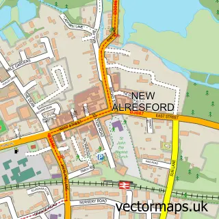
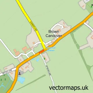
This Old Alresford street map is a detailed vector street map covering a 750m x 750m area. Select a larger area to create and download your own vector street map of Old Alresford.
The 750-metre map sample for Old Alresford covers 125 mapped buildings and approximately 6.8 km of road detail, of which 3 named roads are named. The immediate area includes 1 GP surgery within 2 miles and 2 MOT stations within 2 miles. To create a larger or custom map of Old Alresford, the map builder lets you define your own coverage area and download editable SVG, PDF and PNG files.
Create a larger editable map of Old Alresford
Choose any area you need and generate a high-quality vector map instantly. Perfect for print, planning, design, business and personal use.

This Old Alresford street map in Hampshire is available as downloadable SVG, PDF and PNG map files, or as a printed map for planning, business, display, education, local information and design work. You can also create a larger custom map area using the map selector.
What this Old Alresford map sample shows
Old Alresford lies within Old Alresford Cp parish, part of Alresford And Itchen Valley ward in the Winchester District (B) local authority area. The postcode geography for this area includes the SO postcode area, the SO24 postcode district and the SO24 9 postcode sector. Residents fall under the Nhs Hampshire And Isle Of Wight Integrated Care Board for NHS services.
Local features near Old Alresford
Within 2 milesAmenities and services in and around Old Alresford.
Administrative and postcode information for Old Alresford
The local authority covering Old Alresford is Winchester District (B), within the county of Hampshire. The settlement lies within Alresford And Itchen Valley ward and Old Alresford Cp civil parish. The SO24 postcode district and SO24 9 postcode sector serve the immediate area. NHS provision in the area is delivered through Hampshire Hospitals Nhs Foundation Trust.
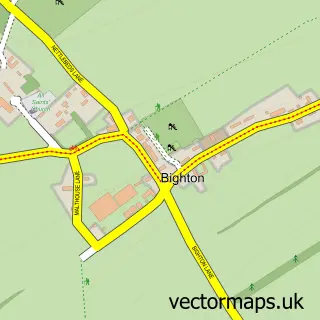
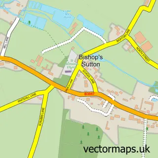
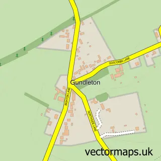
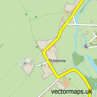
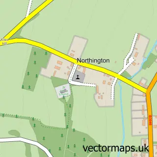
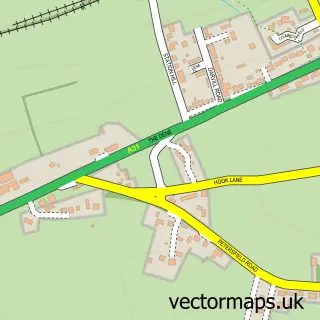
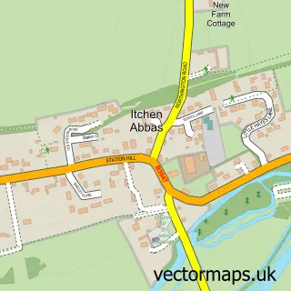
Nearby street map samples around Old Alresford

More street maps in Hampshire
750 metre map area coverage
Boundary, postcode and point of interest information for the 750m x 750m rectangle centred on this sample map.
Boundaries containing map centre
Constituency: Winchester Co Const
County: Hampshire County
District: Winchester District (B)
Icb: NHS Hampshire and Isle of Wight ICB
Parish: Old Alresford CP
Police Force: hampshire
Postcode District: SO24
Postcode Sector: SO24 9
Ward: Alresford & Itchen Valley Ward
Nearby boundaries intersecting sample
No additional intersecting boundaries found.
Postcode coverage
POI category counts
Church Cathedral: 2
Anglican Church: 1
Architect: 1
Art School: 1
Building Supply Store: 1
Currency Exchange: 1
Education: 1
Janitorial Services: 1
Post Office: 1
Retirement Home: 1
Sample points of interest
- Diocese of Winchester
- Daniel Forshaw Design & Conservation Architects Ltd.
- Music With Mummy
- Stevens Wattle Hurdle Maker
- St Mary's Church
- St. Mary the Virgin Church
- Post Office Travel Money
- School of Facilitation
- Traditional Pest Control Ltd.
- Old Alresford SAS Post Office
- Old Alresford Cottage
- Old Alresford Place
Create a larger editable map of Old Alresford
This sample shows only a 750 metre area. To create a larger map of Old Alresford, use our map builder to choose your own coverage area, add titles and download editable SVG, PDF and PNG files.
Create a custom map of Old Alresford