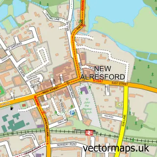
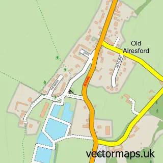
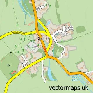
This Bishop's Sutton street map is a detailed vector street map covering a 750m x 750m area. Select a larger area to create and download your own vector street map of Bishop's Sutton.
The 750-metre map sample for Bishop's Sutton covers 102 mapped buildings and approximately 9.4 km of road detail, of which 7 named roads are named. The immediate area includes 1 GP surgery within 2 miles and 2 MOT stations within 2 miles. The wider area around Bishop's Sutton features 2 tourism points of interest and 2 campsites within 2 miles. To create a larger or custom map of Bishop's Sutton, the map builder lets you define your own coverage area and download editable SVG, PDF and PNG files.
Create a larger editable map of Bishop's Sutton
Choose any area you need and generate a high-quality vector map instantly. Perfect for print, planning, design, business and personal use.

This Bishop's Sutton street map in Hampshire is available as downloadable SVG, PDF and PNG map files, or as a printed map for planning, business, display, education, local information and design work. You can also create a larger custom map area using the map selector.
What this Bishop's Sutton map sample shows
Bishop's Sutton lies within Bishops Sutton Cp parish, part of Alresford And Itchen Valley ward in the Winchester District (B) local authority area. The postcode geography for this area includes the SO postcode area, the SO24 postcode district and the SO24 0 postcode sector. Residents fall under the Nhs Hampshire And Isle Of Wight Integrated Care Board for NHS services.
Local features near Bishop's Sutton
Within 2 milesAmenities and services in and around Bishop's Sutton.
Administrative and postcode information for Bishop's Sutton
Bishop's Sutton lies within Bishops Sutton Cp parish, part of Alresford And Itchen Valley ward in the Winchester District (B) local authority area. The postcode geography for this area includes the SO postcode area, the SO24 postcode district and the SO24 0 postcode sector. Residents fall under the Nhs Hampshire And Isle Of Wight Integrated Care Board for NHS services.
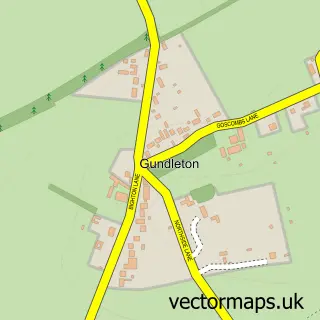
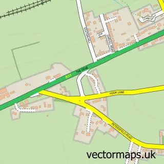
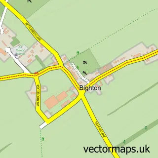
Nearby street map samples around Bishop's Sutton

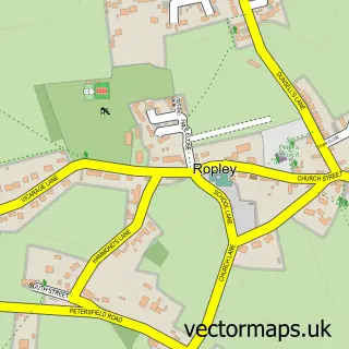
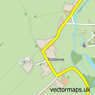
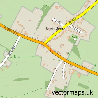
More street maps in Hampshire
750 metre map area coverage
Boundary, postcode and point of interest information for the 750m x 750m rectangle centred on this sample map.
Boundaries containing map centre
Constituency: Winchester Co Const
County: Hampshire County
District: Winchester District (B)
Icb: NHS Hampshire and Isle of Wight ICB
Parish: Bishops Sutton CP
Police Force: hampshire
Postcode District: SO24
Postcode Sector: SO24 0
Ward: Alresford & Itchen Valley Ward
Nearby boundaries intersecting sample
No additional intersecting boundaries found.
Postcode coverage
POI category counts
Travel Services: 3
Advertising Agency: 2
Tours: 2
Travel Agents: 2
Anglican Church: 1
Bridal Shop: 1
Bus Service: 1
Business Management Services: 1
Church Cathedral: 1
Gardener: 1
Sample points of interest
- Abbott Barker Brooks
- Multimode Marketing
- St Nicholas
- Olivia George Bridal
- Schools Worldwide
- Remote Sensing Application Consultants Ltd.
- Church of St. John the Evangelist Northington
- Trimmers Garden Services
- Grange Park Opera
- Cathy Hutton Homeopathy
- Busy Bees Pre-School
- Sellers Public Relations
Create a larger editable map of Bishop's Sutton
This sample shows only a 750 metre area. To create a larger map of Bishop's Sutton, use our map builder to choose your own coverage area, add titles and download editable SVG, PDF and PNG files.
Create a custom map of Bishop's Sutton