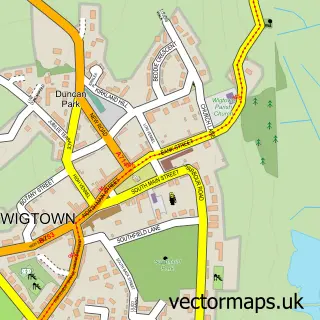
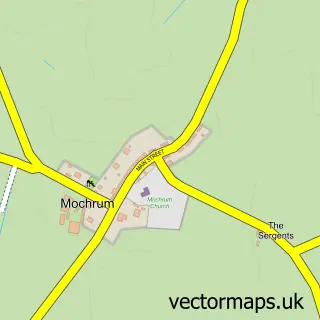
This Whithorn street map is a detailed vector street map covering a 750m x 750m area. Select a larger area to create and download your own vector street map of Whithorn.
The 750-metre map sample for Whithorn covers 177 mapped buildings and approximately 9.1 km of road detail, of which 12 named roads are named. The immediate area includes 1 GP surgery within 2 miles, 1 pub and 1 MOT station, with 2 within 2 miles. The wider area around Whithorn features 2 tourism points of interest, 3 food and drink venues and 3 hotels. To create a larger or custom map of Whithorn, the map builder lets you define your own coverage area and download editable SVG, PDF and PNG files.
Create a larger editable map of Whithorn
Choose any area you need and generate a high-quality vector map instantly. Perfect for print, planning, design, business and personal use.

This Whithorn street map in Wigtown is available as downloadable SVG, PDF and PNG map files, or as a printed map for planning, business, display, education, local information and design work. You can also create a larger custom map area using the map selector.
What this Whithorn map sample shows
Whithorn lies within Dumfries And Galloway parish, part of Mid Galloway And Wigtown West ward in the Dumfries And Galloway local authority area. The postcode geography for this area includes the DG postcode area, the DG8 postcode district and the DG8 8 postcode sector. Residents fall under the Dumfries And Galloway for NHS services.
Local features near Whithorn
Within 2 milesAmenities and services in and around Whithorn.
Administrative and postcode information for Whithorn
The local authority covering Whithorn is Dumfries And Galloway, within the county of Wigtown. The settlement lies within Mid Galloway And Wigtown West ward and Dumfries And Galloway civil parish. The DG8 postcode district and DG8 8 postcode sector serve the immediate area. NHS provision in the area is delivered through Dumfries And Galloway.
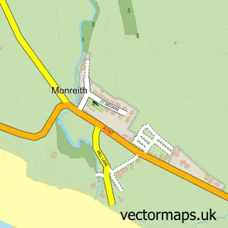
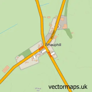
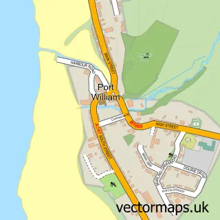
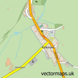
Nearby street map samples around Whithorn

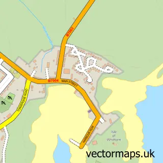
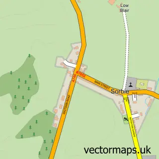
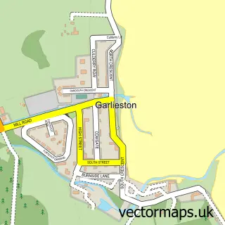
More street maps in Wigtown
750 metre map area coverage
Boundary, postcode and point of interest information for the 750m x 750m rectangle centred on this sample map.
Boundaries containing map centre
Constituency: Dumfries and Galloway Co Const
District: Dumfries and Galloway
Icb: Dumfries and Galloway
Postcode District: DG8
Postcode Sector: DG8 8
Ward: Mid Galloway and Wigtown West Ward
Nearby boundaries intersecting sample
No additional intersecting boundaries found.
Postcode coverage
POI category counts
Hotel: 3
Post Office: 3
Catholic Church: 2
Active Life: 1
Antique Store: 1
Art Gallery: 1
Atms: 1
Bank Credit Union: 1
Banks: 1
Beach: 1
Sample points of interest
- Monreith AnimalPark
- Priory Antiques
- Galloway Art
- COSTCUTTER - WITHORN (Mirren) (Protected)
- RBS
- Royal Bank of Scotland
- St Ninians Cave
- Mansefield House Bed and Breakfast
- Central Cafe
- Glasserton, Isle of Whithorn & Whithorn St Ninian's Priory
- St Martin and St Ninian's Roman Catholic Church
- Building Healthy Communities Machars
Create a larger editable map of Whithorn
This sample shows only a 750 metre area. To create a larger map of Whithorn, use our map builder to choose your own coverage area, add titles and download editable SVG, PDF and PNG files.
Create a custom map of Whithorn