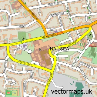
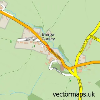
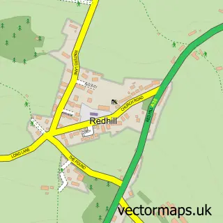
This Winford street map is a detailed vector street map covering a 750m x 750m area. Select a larger area to create and download your own vector street map of Winford.
The 750-metre map sample for Winford covers 231 mapped buildings and approximately 15.7 km of road detail, of which 20 named roads are named. The immediate area includes 1 school, 2 pubs and 4 MOT stations within 2 miles. The wider area around Winford features 1 tourism point of interest, 3 food and drink venues and 1 hotel. To create a larger or custom map of Winford, the map builder lets you define your own coverage area and download editable SVG, PDF and PNG files.
Create a larger editable map of Winford
Choose any area you need and generate a high-quality vector map instantly. Perfect for print, planning, design, business and personal use.

This Winford street map in Somerset is available as downloadable SVG, PDF and PNG map files, or as a printed map for planning, business, display, education, local information and design work. You can also create a larger custom map area using the map selector.
What this Winford map sample shows
Winford lies within Winford Cp parish, part of Winford ward in the North Somerset local authority area. The postcode geography for this area includes the BS postcode area, the BS40 postcode district and the BS40 8 postcode sector. Residents fall under the Nhs Bristol, North Somerset And South Gloucestershire Integrated Care Board for NHS services.
Local features near Winford
Within 2 milesAmenities and services in and around Winford.
Administrative and postcode information for Winford
Winford lies within Winford Cp parish, part of Winford ward in the North Somerset local authority area. The postcode geography for this area includes the BS postcode area, the BS40 postcode district and the BS40 8 postcode sector. Residents fall under the Nhs Bristol, North Somerset And South Gloucestershire Integrated Care Board for NHS services.
Nearby street map samples around Winford

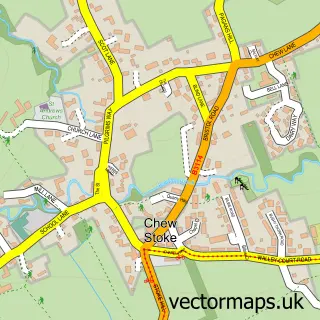
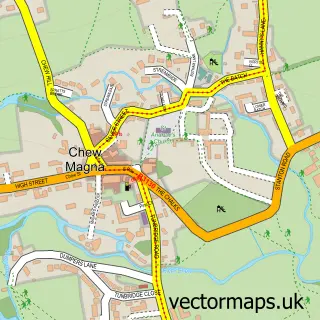
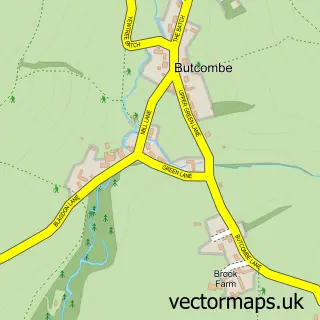
More street maps in Somerset
750 metre map area coverage
Boundary, postcode and point of interest information for the 750m x 750m rectangle centred on this sample map.
Boundaries containing map centre
Constituency: North Somerset Co Const
District: North Somerset
Icb: NHS Bristol North Somerset and South Gloucestershire ICB
Parish: Winford CP
Police Force: avon and somerset
Postcode District: BS40
Postcode Sector: BS40 8
Ward: Winford Ward
Nearby boundaries intersecting sample
No additional intersecting boundaries found.
Postcode coverage
POI category counts
Storage Facility: 3
Post Office: 2
Pub: 2
Anglican Church: 1
Bed And Breakfast: 1
Bridal Shop: 1
Building Supply Store: 1
Campground: 1
Car Dealer: 1
Church Cathedral: 1
Sample points of interest
- The Blessed Virgin Mary & St Peter
- The Oaks
- Chew Valley Web Design - SEO Bristol
- LH Electrical Southwest
- Walnut Tree Camping & Bank House Cottage
- Winford Ford of Chew Magna-Bristol
- St Mary and St Peters Church
- Radstock Charcoalgrıll
- Valley developments ltd
- Post Office Travel Money
- VPG Electrical
- Winford C of E Primary School
Create a larger editable map of Winford
This sample shows only a 750 metre area. To create a larger map of Winford, use our map builder to choose your own coverage area, add titles and download editable SVG, PDF and PNG files.
Create a custom map of Winford