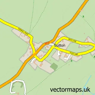
This Woodseaves street map is a detailed vector street map covering a 750m x 750m area. Select a larger area to create and download your own vector street map of Woodseaves.
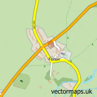
The 750-metre map sample for Woodseaves covers 206 mapped buildings and approximately 9.2 km of road detail, of which 13 named roads are named. The immediate area includes 1 school and 1 pub. The wider area around Woodseaves features 1 food and drink venue. To create a larger or custom map of Woodseaves, the map builder lets you define your own coverage area and download editable SVG, PDF and PNG files.
Create a larger editable map of Woodseaves
Choose any area you need and generate a high-quality vector map instantly. Perfect for print, planning, design, business and personal use.

This Woodseaves street map in Staffordshire is available as downloadable SVG, PDF and PNG map files, or as a printed map for planning, business, display, education, local information and design work. You can also create a larger custom map area using the map selector.
What this Woodseaves map sample shows
Woodseaves lies within High Offley Cp parish, part of Gnosall & Woodseaves ward in the Stafford District (B) local authority area. The postcode geography for this area includes the ST postcode area, the ST20 postcode district and the ST20 0 postcode sector. Residents fall under the Nhs Staffordshire And Stoke-On-Trent Integrated Care Board for NHS services.
Local features near Woodseaves
Within 2 milesAmenities and services in and around Woodseaves.
Administrative and postcode information for Woodseaves
Woodseaves lies within High Offley Cp parish, part of Gnosall & Woodseaves ward in the Stafford District (B) local authority area. The postcode geography for this area includes the ST postcode area, the ST20 postcode district and the ST20 0 postcode sector. Residents fall under the Nhs Staffordshire And Stoke-On-Trent Integrated Care Board for NHS services.
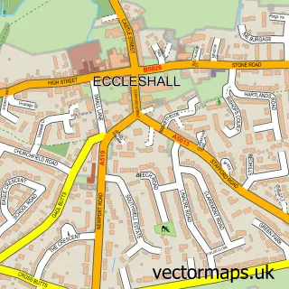
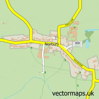
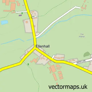
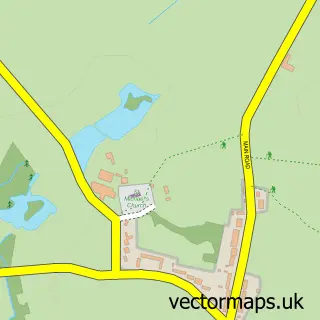
Nearby street map samples around Woodseaves

More street maps in Staffordshire
750 metre map area coverage
Boundary, postcode and point of interest information for the 750m x 750m rectangle centred on this sample map.
Boundaries containing map centre
Constituency: Stafford Co Const
County: Staffordshire County
District: Stafford District (B)
Icb: NHS Staffordshire and Stoke-on-Trent ICB
Parish: High Offley CP
Police Force: staffordshire
Postcode District: ST20
Postcode Sector: ST20 0
Ward: Gnosall & Woodseaves Ward
Nearby boundaries intersecting sample
Parish: Gnosall CP
Postcode coverage
POI category counts
Caterer: 2
Active Life: 1
Appliance Repair Service: 1
Building Supply Store: 1
Community Center: 1
Construction Services: 1
Convenience Store: 1
Electrician: 1
Elementary School: 1
Gardener: 1
Sample points of interest
- Loynton Moss
- Sandon garden machines
- Midland Floor Care
- Call in the Caterers
- Like nanna made caterers and bespoke homemade cakes
- Woodseaves Village Hall
- Sherwins Builders Ltd
- One Stop
- Mitchell Electrical Services
- Woodseaves C of E Primary School
- Hedge Cutting
- Jessica Bennett Childminder
Create a larger editable map of Woodseaves
This sample shows only a 750 metre area. To create a larger map of Woodseaves, use our map builder to choose your own coverage area, add titles and download editable SVG, PDF and PNG files.
Create a custom map of Woodseaves