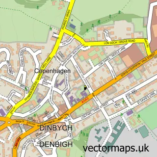
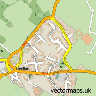
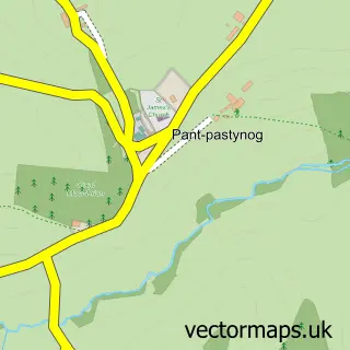
This Y Groes street map is a detailed vector street map covering a 750m x 750m area. Select a larger area to create and download your own vector street map of Y Groes.
The 750-metre map sample for Y Groes covers 59 mapped buildings and approximately 10.3 km of road detail, of which 1 named road are named. To create a larger or custom map of Y Groes, the map builder lets you define your own coverage area and download editable SVG, PDF and PNG files.
Create a larger editable map of Y Groes
Choose any area you need and generate a high-quality vector map instantly. Perfect for print, planning, design, business and personal use.

This Y Groes street map in Clwyd is available as downloadable SVG, PDF and PNG map files, or as a printed map for planning, business, display, education, local information and design work. You can also create a larger custom map area using the map selector.
What this Y Groes map sample shows
Y Groes lies within Llansannan Community parish, part of Llansannan ward in the Conwy - Conwy local authority area. The postcode geography for this area includes the LL postcode area, the LL16 postcode district and the LL16 5 postcode sector. Residents fall under the Betsi Cadwaladr University Health Board for NHS services.
Administrative and postcode information for Y Groes
Y Groes lies within Llansannan Community parish, part of Llansannan ward in the Conwy - Conwy local authority area. The postcode geography for this area includes the LL postcode area, the LL16 postcode district and the LL16 5 postcode sector. Residents fall under the Betsi Cadwaladr University Health Board for NHS services.
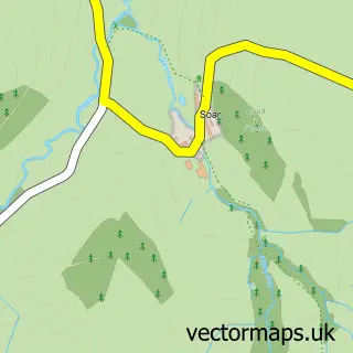
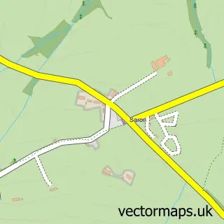
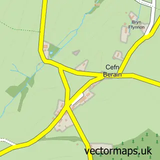
Nearby street map samples around Y Groes

More street maps in Clwyd
750 metre map area coverage
Boundary, postcode and point of interest information for the 750m x 750m rectangle centred on this sample map.
Boundaries containing map centre
Constituency: Bangor Aberconwy Co Const
District: Conwy - Conwy
Icb: Betsi Cadwaladr University
Parish: Llansannan Community
Police Force: north wales
Postcode District: LL16
Postcode Sector: LL16 5
Nearby boundaries intersecting sample
No additional intersecting boundaries found.
Postcode coverage
POI category counts
Arts And Entertainment: 1
Dog Walkers: 1
Tattoo And Piercing: 1
Sample points of interest
- Groes City
- Abigail's Dog Walking and Pet Services
- MLW Illustration & Ink
Create a larger editable map of Y Groes
This sample shows only a 750 metre area. To create a larger map of Y Groes, use our map builder to choose your own coverage area, add titles and download editable SVG, PDF and PNG files.
Create a custom map of Y Groes