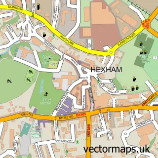
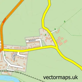
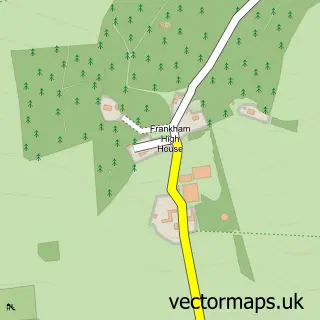
This Acomb street map is a detailed vector street map covering a 750m x 750m area. Select a larger area to create and download your own vector street map of Acomb.
The 750-metre map sample for Acomb covers 233 mapped buildings and approximately 11.0 km of road detail, of which 11 named roads are named. The immediate area includes 1 school, 2 GP surgeries within 2 miles, 1 pub and 8 MOT stations within 2 miles. The wider area around Acomb features 1 tourism point of interest, 1 food and drink venue and 2 hotels. To create a larger or custom map of Acomb, the map builder lets you define your own coverage area and download editable SVG, PDF and PNG files.
Create a larger editable map of Acomb
Choose any area you need and generate a high-quality vector map instantly. Perfect for print, planning, design, business and personal use.

This Acomb street map in Northumberland is available as downloadable SVG, PDF and PNG map files, or as a printed map for planning, business, display, education, local information and design work. You can also create a larger custom map area using the map selector.
What this Acomb map sample shows
Acomb lies within Acomb Cp parish, part of Hexham Central With Acomb ward in the Northumberland local authority area. The postcode geography for this area includes the NE postcode area, the NE46 postcode district and the NE46 4 postcode sector. Residents fall under the Nhs North East And North Cumbria Integrated Care Board for NHS services.
Local features near Acomb
Within 2 milesAmenities and services in and around Acomb.
Administrative and postcode information for Acomb
The local authority covering Acomb is Northumberland, within the county of Northumberland. The settlement lies within Hexham Central With Acomb ward and Acomb Cp civil parish. The NE46 postcode district and NE46 4 postcode sector serve the immediate area. NHS provision in the area is delivered through Northumbria Healthcare Nhs Foundation Trust.
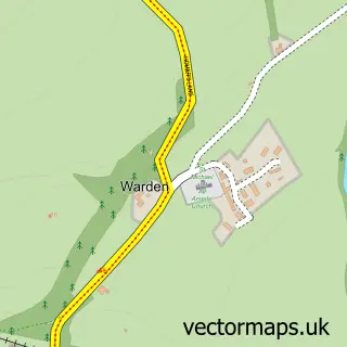
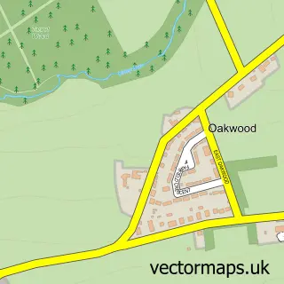
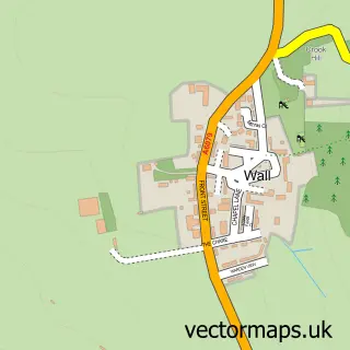
Nearby street map samples around Acomb

More street maps in Northumberland
750 metre map area coverage
Boundary, postcode and point of interest information for the 750m x 750m rectangle centred on this sample map.
Boundaries containing map centre
Constituency: Hexham Co Const
District: Northumberland
Icb: NHS North East and North Cumbria ICB
Parish: Acomb CP
Police Force: northumberland
Postcode District: NE46
Postcode Sector: NE46 4
Nearby boundaries intersecting sample
No additional intersecting boundaries found.
Postcode coverage
POI category counts
Hotel: 2
Beauty Salon: 1
Bed And Breakfast: 1
Church Cathedral: 1
Cottage: 1
Day Care Preschool: 1
Dog Trainer: 1
Education: 1
Elementary School: 1
Farm: 1
Sample points of interest
- Acomb Hair Salon
- The Sun Inn
- The Old Church Melkridge
- Atte Combe Cottage
- Little Oaks Nursery, Acomb
- Happy Hounds Hexham
- Acomb County First School
- Acomb First
- Dukesfield Hall Farm
- H & J's Design Consultants
- YHA
- Sun Inn - The Acomb
Create a larger editable map of Acomb
This sample shows only a 750 metre area. To create a larger map of Acomb, use our map builder to choose your own coverage area, add titles and download editable SVG, PDF and PNG files.
Create a custom map of Acomb