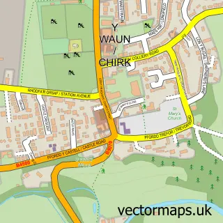
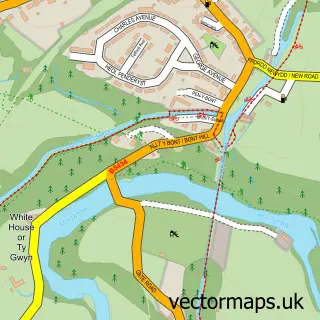
This Acrefair street map is a detailed vector street map covering a 750m x 750m area. Select a larger area to create and download your own vector street map of Acrefair.
The 750-metre map sample for Acrefair covers 285 mapped buildings and approximately 14.4 km of road detail, of which 13 named roads are named. The immediate area includes 1 school, 1 GP surgery within 2 miles, 2 pubs and 1 MOT station, with 4 within 2 miles. The wider area around Acrefair features 2 food and drink venues. To create a larger or custom map of Acrefair, the map builder lets you define your own coverage area and download editable SVG, PDF and PNG files.
Create a larger editable map of Acrefair
Choose any area you need and generate a high-quality vector map instantly. Perfect for print, planning, design, business and personal use.

This Acrefair street map in Clwyd is available as downloadable SVG, PDF and PNG map files, or as a printed map for planning, business, display, education, local information and design work. You can also create a larger custom map area using the map selector.
What this Acrefair map sample shows
Acrefair lies within Llangollen Rural Community parish, part of Llangollen Rural ward in the Wrecsam - Wrexham local authority area. The postcode geography for this area includes the LL postcode area, the LL14 postcode district and the LL14 3 postcode sector. Residents fall under the Betsi Cadwaladr University Health Board for NHS services.
Local features near Acrefair
Within 2 milesAmenities and services in and around Acrefair.
Administrative and postcode information for Acrefair
Acrefair lies within Llangollen Rural Community parish, part of Llangollen Rural ward in the Wrecsam - Wrexham local authority area. The postcode geography for this area includes the LL postcode area, the LL14 postcode district and the LL14 3 postcode sector. Residents fall under the Betsi Cadwaladr University Health Board for NHS services.
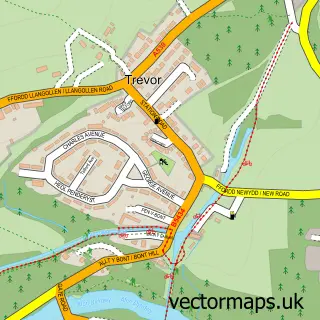
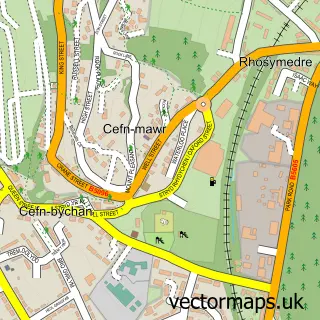
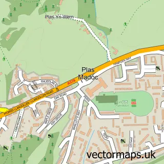
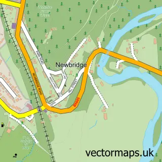
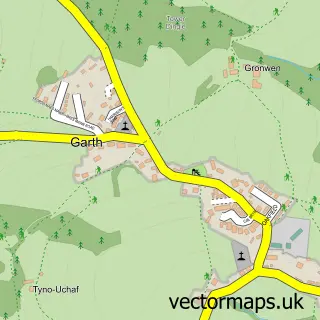
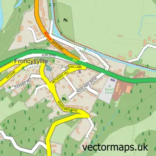
Nearby street map samples around Acrefair


More street maps in Clwyd
750 metre map area coverage
Boundary, postcode and point of interest information for the 750m x 750m rectangle centred on this sample map.
Boundaries containing map centre
Constituency: Montgomeryshire and Glyndwr Co Const
District: Wrecsam - Wrexham
Icb: Betsi Cadwaladr University
Parish: Cefn Community
Police Force: north wales
Postcode District: LL14
Postcode Sector: LL14 3
Nearby boundaries intersecting sample
Constituency: Clwyd East Co Const
Parish: Llangollen Rural Community
Postcode coverage
POI category counts
Bar: 2
Elementary School: 2
Pub: 2
Web Designer: 2
Alternative Medicine: 1
Automotive Repair: 1
Barber: 1
Beauty And Spa: 1
Building Supply Store: 1
Car Wash: 1
Sample points of interest
- Avant Garden Creative Wellbeing
- Turner Automotive
- Oddfellow Arms Inn
- The Delph
- The Barber Shop
- HONEY Hair Studio
- Dee Scan
- Super Hand Car Wash
- Voices of the Valley - The Fron Male Voice Choir
- The Towers Day Nursery
- Acrefair School
- Ysgol Acrefair
Create a larger editable map of Acrefair
This sample shows only a 750 metre area. To create a larger map of Acrefair, use our map builder to choose your own coverage area, add titles and download editable SVG, PDF and PNG files.
Create a custom map of Acrefair