This Pontcysyllte street map is a detailed vector street map covering a 750m x 750m area. Select a larger area to create and download your own vector street map of Pontcysyllte.
The 750-metre map sample for Pontcysyllte covers 143 mapped buildings and approximately 10.2 km of road detail, of which 11 named roads are named. The immediate area includes 1 GP surgery within 2 miles, 1 pub and 4 MOT stations within 2 miles. The wider area around Pontcysyllte features 2 tourism points of interest and 1 food and drink venue. To create a larger or custom map of Pontcysyllte, the map builder lets you define your own coverage area and download editable SVG, PDF and PNG files.
Create a larger editable map of Pontcysyllte
Choose any area you need and generate a high-quality vector map instantly. Perfect for print, planning, design, business and personal use.

This Pontcysyllte street map in Clwyd is available as downloadable SVG, PDF and PNG map files, or as a printed map for planning, business, display, education, local information and design work. You can also create a larger custom map area using the map selector.
What this Pontcysyllte map sample shows
Pontcysyllte lies within Llangollen Rural Community parish, part of Llangollen Rural ward in the Wrecsam - Wrexham local authority area. The postcode geography for this area includes the LL postcode area, the LL14 postcode district and the LL14 3 postcode sector. Residents fall under the Betsi Cadwaladr University Health Board for NHS services.
Local features near Pontcysyllte
Within 2 milesAmenities and services in and around Pontcysyllte.
Administrative and postcode information for Pontcysyllte
The local authority covering Pontcysyllte is Wrecsam - Wrexham, within the county of Clwyd. The settlement lies within Llangollen Rural ward and Llangollen Rural Community civil parish. The LL14 postcode district and LL14 3 postcode sector serve the immediate area. NHS provision in the area is delivered through Betsi Cadwaladr University Health Board.
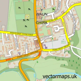
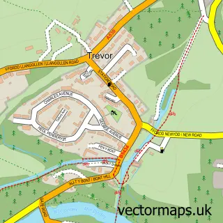
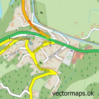
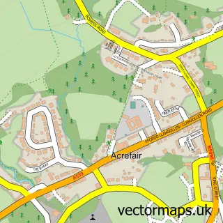
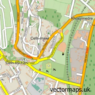
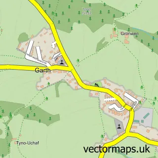
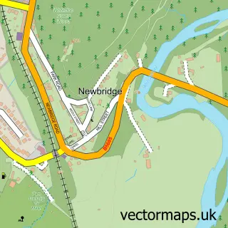
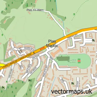
Nearby street map samples around Pontcysyllte


More street maps in Clwyd
750 metre map area coverage
Boundary, postcode and point of interest information for the 750m x 750m rectangle centred on this sample map.
Boundaries containing map centre
Constituency: Clwyd East Co Const
District: Wrecsam - Wrexham
Icb: Betsi Cadwaladr University
Parish: Llangollen Rural Community
Police Force: north wales
Postcode District: LL20
Postcode Sector: LL20 7
Nearby boundaries intersecting sample
Constituency: Montgomeryshire and Glyndwr Co Const
District: Sir Ddinbych - Denbighshire
Parish: Cefn Community, Llangollen Community
Postcode coverage
POI category counts
Canal: 3
Landmark And Historical Building: 2
Antique Store: 1
Boat Rental And Training: 1
Boat Tours: 1
Convenience Store: 1
Cottage: 1
Monument: 1
Paddleboard Rental: 1
Pub: 1
Sample points of interest
- Romantiques
- Anglo Welsh Waterway Holidays
- Jones the Boats
- Llangollen Canal Towpath
- Pontcysyllte Aqueduct Trevor Basin Visitor Centre
- Trevor Wharf
- Premier Trevor Convenience Store
- The Cottage at Woodbank
- Navigating Through Time
- Ruabon Brook Tramway
- Pontcysyllte Aqueduct
- Ty Nant Outdoors
Create a larger editable map of Pontcysyllte
This sample shows only a 750 metre area. To create a larger map of Pontcysyllte, use our map builder to choose your own coverage area, add titles and download editable SVG, PDF and PNG files.
Create a custom map of Pontcysyllte