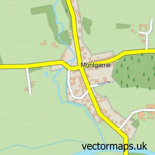
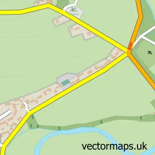
This Alford street map is a detailed vector street map covering a 750m x 750m area. Select a larger area to create and download your own vector street map of Alford.
The 750-metre map sample for Alford covers 435 mapped buildings and approximately 14.0 km of road detail, of which 29 named roads are named. The immediate area includes 1 GP surgery within 2 miles and 1 MOT station, with 2 within 2 miles. The wider area around Alford features 2 tourism points of interest, 1 food and drink venue and 2 hotels. To create a larger or custom map of Alford, the map builder lets you define your own coverage area and download editable SVG, PDF and PNG files.
Create a larger editable map of Alford
Choose any area you need and generate a high-quality vector map instantly. Perfect for print, planning, design, business and personal use.

This Alford street map in Aberdeenshire is available as downloadable SVG, PDF and PNG map files, or as a printed map for planning, business, display, education, local information and design work. You can also create a larger custom map area using the map selector.
What this Alford map sample shows
Alford lies within Aberdeenshire parish, part of Huntly, Strathbogie And Howe Of Alford ward in the Aberdeenshire local authority area. The postcode geography for this area includes the AB postcode area, the AB33 postcode district and the AB33 8 postcode sector. Residents fall under the Grampian for NHS services.
Local features near Alford
Within 2 milesAmenities and services in and around Alford.
Administrative and postcode information for Alford
The local authority covering Alford is Aberdeenshire, within the county of Aberdeenshire. The settlement lies within Huntly, Strathbogie And Howe Of Alford ward and Aberdeenshire civil parish. The AB33 postcode district and AB33 8 postcode sector serve the immediate area. NHS provision in the area is delivered through Grampian.
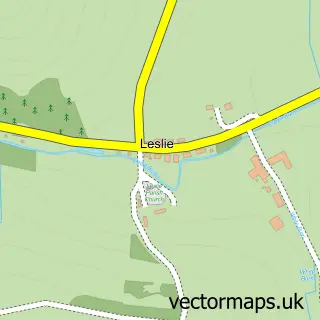
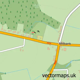
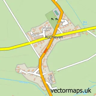
Nearby street map samples around Alford


More street maps in Aberdeenshire
750 metre map area coverage
Boundary, postcode and point of interest information for the 750m x 750m rectangle centred on this sample map.
Boundaries containing map centre
Constituency: West Aberdeenshire and Kincardine Co Const
District: Aberdeenshire
Icb: Grampian
Postcode District: AB33
Postcode Sector: AB33 8
Ward: Huntly, Strathbogie and Howe of Alford Ward
Nearby boundaries intersecting sample
No additional intersecting boundaries found.
Postcode coverage
POI category counts
Automotive Repair: 5
Convenience Store: 3
Hair Salon: 3
Library: 3
Arts And Crafts: 2
Banks: 2
Flowers And Gifts Shop: 2
Home Service: 2
Hotel: 2
Preschool: 2
Sample points of interest
- Bridgeton Bookkeeping
- Evelyntreasurefinder2
- The Sew Room
- Woolly woolly
- Great Wall Chinese Restaurant and Takeaway
- The Cooperative Food (BF) Alford (ERF)
- Alford Auto Station
- Girls Bike 2
- Haughton Garage
- Tyre Devotion
- Unipart Car Care Centre
- Chloe's Kitchen Creations
Create a larger editable map of Alford
This sample shows only a 750 metre area. To create a larger map of Alford, use our map builder to choose your own coverage area, add titles and download editable SVG, PDF and PNG files.
Create a custom map of Alford