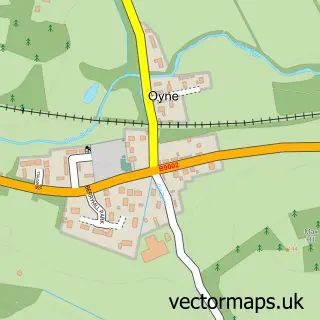
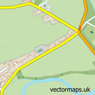
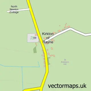
This Auchleven street map is a detailed vector street map covering a 750m x 750m area. Select a larger area to create and download your own vector street map of Auchleven.
The 750-metre map sample for Auchleven covers 148 mapped buildings and approximately 11.8 km of road detail, of which 4 named roads are named. The immediate area includes 1 MOT station within 2 miles. The wider area around Auchleven features 1 food and drink venue. To create a larger or custom map of Auchleven, the map builder lets you define your own coverage area and download editable SVG, PDF and PNG files.
Create a larger editable map of Auchleven
Choose any area you need and generate a high-quality vector map instantly. Perfect for print, planning, design, business and personal use.

This Auchleven street map in Aberdeenshire is available as downloadable SVG, PDF and PNG map files, or as a printed map for planning, business, display, education, local information and design work. You can also create a larger custom map area using the map selector.
What this Auchleven map sample shows
Auchleven lies within Aberdeenshire parish, part of West Garioch ward in the Aberdeenshire local authority area. The postcode geography for this area includes the AB postcode area, the AB52 postcode district and the AB52 6 postcode sector. Residents fall under the Grampian for NHS services.
Local features near Auchleven
Within 2 milesAmenities and services in and around Auchleven.
Administrative and postcode information for Auchleven
Auchleven lies within Aberdeenshire parish, part of West Garioch ward in the Aberdeenshire local authority area. The postcode geography for this area includes the AB postcode area, the AB52 postcode district and the AB52 6 postcode sector. Residents fall under the Grampian for NHS services.
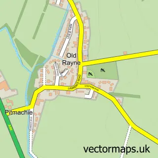
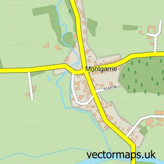
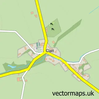
Nearby street map samples around Auchleven

More street maps in Aberdeenshire
750 metre map area coverage
Boundary, postcode and point of interest information for the 750m x 750m rectangle centred on this sample map.
Boundaries containing map centre
Constituency: Gordon and Buchan Co Const
District: Aberdeenshire
Icb: Grampian
Postcode District: AB52
Postcode Sector: AB52 6
Ward: West Garioch Ward
Nearby boundaries intersecting sample
No additional intersecting boundaries found.
Postcode coverage
POI category counts
Active Life: 1
Bed And Breakfast: 1
Community Center: 1
Dog Walkers: 1
Education: 1
Flowers And Gifts Shop: 1
Painting: 1
Restaurant: 1
Sample points of interest
- Aikido Ten Shin Kan
- Lilyoak Bed & Breakfast
- Premnay Hall and Community Association
- PawPals
- Premnay School
- Ingrained Inc
- JBT Painting Services
- Premnay Community Cafe
Create a larger editable map of Auchleven
This sample shows only a 750 metre area. To create a larger map of Auchleven, use our map builder to choose your own coverage area, add titles and download editable SVG, PDF and PNG files.
Create a custom map of Auchleven