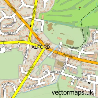
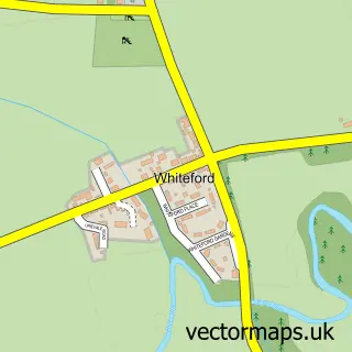
This Insch street map is a detailed vector street map covering a 750m x 750m area. Select a larger area to create and download your own vector street map of Insch.
The 750-metre map sample for Insch covers 409 mapped buildings and approximately 17.6 km of road detail, of which 32 named roads are named. The immediate area includes 1 GP surgery and 2 MOT stations within 2 miles. The wider area around Insch features 1 tourism point of interest and 2 hotels. To create a larger or custom map of Insch, the map builder lets you define your own coverage area and download editable SVG, PDF and PNG files.
Create a larger editable map of Insch
Choose any area you need and generate a high-quality vector map instantly. Perfect for print, planning, design, business and personal use.

This Insch street map in Aberdeenshire is available as downloadable SVG, PDF and PNG map files, or as a printed map for planning, business, display, education, local information and design work. You can also create a larger custom map area using the map selector.
What this Insch map sample shows
Insch lies within Aberdeenshire parish, part of West Garioch ward in the Aberdeenshire local authority area. The postcode geography for this area includes the AB postcode area, the AB52 postcode district and the AB52 6 postcode sector. Residents fall under the Grampian for NHS services.
Local features near Insch
Within 2 milesAmenities and services in and around Insch.
Administrative and postcode information for Insch
Insch lies within Aberdeenshire parish, part of West Garioch ward in the Aberdeenshire local authority area. The postcode geography for this area includes the AB postcode area, the AB52 postcode district and the AB52 6 postcode sector. Residents fall under the Grampian for NHS services.
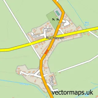
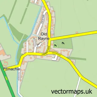
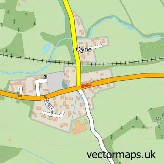
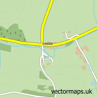
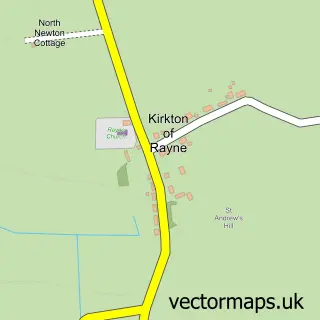
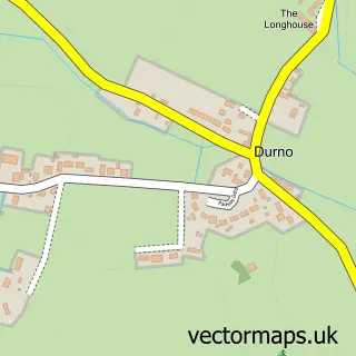
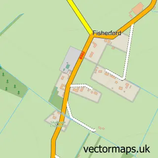
Nearby street map samples around Insch

More street maps in Aberdeenshire
750 metre map area coverage
Boundary, postcode and point of interest information for the 750m x 750m rectangle centred on this sample map.
Boundaries containing map centre
Constituency: Gordon and Buchan Co Const
District: Aberdeenshire
Icb: Grampian
Postcode District: AB52
Postcode Sector: AB52 6
Ward: West Garioch Ward
Nearby boundaries intersecting sample
No additional intersecting boundaries found.
Postcode coverage
POI category counts
Church Cathedral: 3
Convenience Store: 3
Hospital: 3
Arts And Crafts: 2
Beauty Salon: 2
Catholic Church: 2
Community Center: 2
Hotel: 2
Roofing: 2
Shipping Center: 2
Sample points of interest
- Insch BC
- Laine's
- The Studio - Insch
- Rainbow Thai
- The Cooperative Food (BF) Commerce Street - Insch
- Hillview Enterprises
- The Culinary Kiwi Bird
- TSB Bank
- Marc Cran Barbering
- Mo Maise
- Flair Hair Care
- Hair by Jorden Keith
Create a larger editable map of Insch
This sample shows only a 750 metre area. To create a larger map of Insch, use our map builder to choose your own coverage area, add titles and download editable SVG, PDF and PNG files.
Create a custom map of Insch