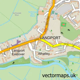
This Aller street map is a detailed vector street map covering a 750m x 750m area. Select a larger area to create and download your own vector street map of Aller.
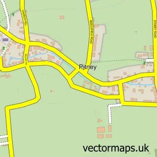
The 750-metre map sample for Aller covers 166 mapped buildings and approximately 8.8 km of road detail, of which 8 named roads are named. The immediate area includes 1 GP surgery within 2 miles, 1 pub and 2 MOT stations within 2 miles. The wider area around Aller features 1 tourism point of interest, 1 food and drink venue and 2 campsites within 2 miles. To create a larger or custom map of Aller, the map builder lets you define your own coverage area and download editable SVG, PDF and PNG files.
Create a larger editable map of Aller
Choose any area you need and generate a high-quality vector map instantly. Perfect for print, planning, design, business and personal use.

This Aller street map in Somerset is available as downloadable SVG, PDF and PNG map files, or as a printed map for planning, business, display, education, local information and design work. You can also create a larger custom map area using the map selector.
What this Aller map sample shows
Aller lies within Aller Cp parish, part of Turn Hill ward in the Somerset local authority area. The postcode geography for this area includes the TA postcode area, the TA10 postcode district and the TA10 0 postcode sector. Residents fall under the Nhs Somerset Integrated Care Board for NHS services.
Local features near Aller
Within 2 milesAmenities and services in and around Aller.
Administrative and postcode information for Aller
The local authority covering Aller is Somerset, within the county of Somerset. The settlement lies within Turn Hill ward and Aller Cp civil parish. The TA10 postcode district and TA10 0 postcode sector serve the immediate area. NHS provision in the area is delivered through Somerset Nhs Foundation Trust.
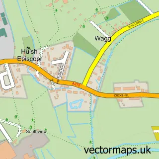
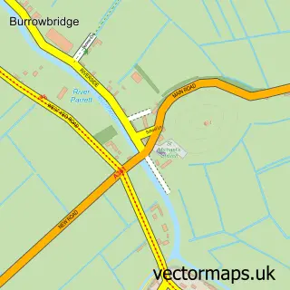
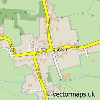
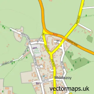
Nearby street map samples around Aller

More street maps in Somerset
750 metre map area coverage
Boundary, postcode and point of interest information for the 750m x 750m rectangle centred on this sample map.
Boundaries containing map centre
Constituency: Glastonbury and Somerton Co Const
District: Somerset
Icb: NHS Somerset ICB
Parish: Aller CP
Police Force: avon and somerset
Postcode District: TA10
Postcode Sector: TA10 0
Nearby boundaries intersecting sample
Parish: Huish Episcopi CP
Postcode coverage
POI category counts
Metal Fabricator: 2
Professional Services: 2
Corporate Entertainment Services: 1
Financial Service: 1
Flowers And Gifts Shop: 1
Health And Medical: 1
Hobby Shop: 1
Leather Goods: 1
Park: 1
Pool Cleaning: 1
Sample points of interest
- Fuse Performance
- Multi-Let Cashflow System
- Sherbertbloom
- The Country Clinic Limited
- Star Rubber Environmental Ltd.
- Equine Health Centre Ltd.
- Aller Engineering
- Aller Engineering SW Ltd
- Aller Recreation Ground
- The Dragon Pool
- Display Knowledge
- Seed Factory Aller
Create a larger editable map of Aller
This sample shows only a 750 metre area. To create a larger map of Aller, use our map builder to choose your own coverage area, add titles and download editable SVG, PDF and PNG files.
Create a custom map of Aller