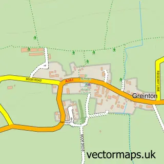
This Middlezoy street map is a detailed vector street map covering a 750m x 750m area. Select a larger area to create and download your own vector street map of Middlezoy.
The 750-metre map sample for Middlezoy covers 209 mapped buildings and approximately 10.9 km of road detail, of which 15 named roads are named. The immediate area includes 1 school and 1 pub. The wider area around Middlezoy features 1 food and drink venue and 1 campsite within 2 miles. To create a larger or custom map of Middlezoy, the map builder lets you define your own coverage area and download editable SVG, PDF and PNG files.
Create a larger editable map of Middlezoy
Choose any area you need and generate a high-quality vector map instantly. Perfect for print, planning, design, business and personal use.

This Middlezoy street map in Somerset is available as downloadable SVG, PDF and PNG map files, or as a printed map for planning, business, display, education, local information and design work. You can also create a larger custom map area using the map selector.
What this Middlezoy map sample shows
Middlezoy lies within Middlezoy Cp parish, part of King's Isle ward in the Somerset local authority area. The postcode geography for this area includes the TA postcode area, the TA7 postcode district and the TA7 0 postcode sector. Residents fall under the Nhs Somerset Integrated Care Board for NHS services.
Local features near Middlezoy
Within 2 milesAmenities and services in and around Middlezoy.
Administrative and postcode information for Middlezoy
Middlezoy lies within Middlezoy Cp parish, part of King's Isle ward in the Somerset local authority area. The postcode geography for this area includes the TA postcode area, the TA7 postcode district and the TA7 0 postcode sector. Residents fall under the Nhs Somerset Integrated Care Board for NHS services.
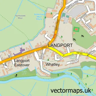
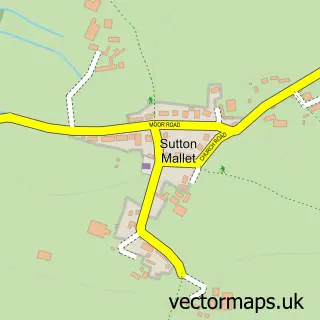
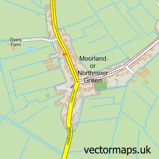
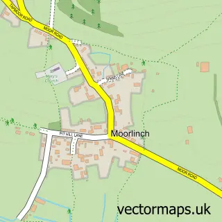
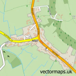
Nearby street map samples around Middlezoy

More street maps in Somerset
750 metre map area coverage
Boundary, postcode and point of interest information for the 750m x 750m rectangle centred on this sample map.
Boundaries containing map centre
Constituency: Bridgwater Co Const
District: Somerset
Icb: NHS Somerset ICB
Parish: Middlezoy CP
Police Force: avon and somerset
Postcode District: TA7
Postcode Sector: TA7 0
Nearby boundaries intersecting sample
No additional intersecting boundaries found.
Postcode coverage
POI category counts
Education: 2
Building Supply Store: 1
Church Cathedral: 1
Music Production: 1
Naturopathic Holistic: 1
Post Office: 1
Pub: 1
Sample points of interest
- Owery Farm Joinery
- Holy Cross Church
- Blake Training
- Middlezoy Primary School
- Beehive Studios
- The Nurture Shed
- Middlezoy Post Office
- The George Inn
Create a larger editable map of Middlezoy
This sample shows only a 750 metre area. To create a larger map of Middlezoy, use our map builder to choose your own coverage area, add titles and download editable SVG, PDF and PNG files.
Create a custom map of Middlezoy