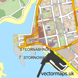
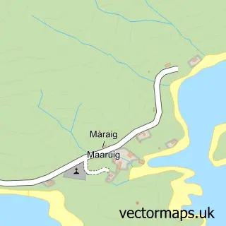
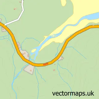
This Am Baile street map is a detailed vector street map covering a 750m x 750m area. Select a larger area to create and download your own vector street map of Am Baile.
The 750-metre map sample for Am Baile covers 48 mapped buildings and approximately 7.4 km of road detail. To create a larger or custom map of Am Baile, the map builder lets you define your own coverage area and download editable SVG, PDF and PNG files.
Create a larger editable map of Am Baile
Choose any area you need and generate a high-quality vector map instantly. Perfect for print, planning, design, business and personal use.

This Am Baile street map in Western Isles is available as downloadable SVG, PDF and PNG map files, or as a printed map for planning, business, display, education, local information and design work. You can also create a larger custom map area using the map selector.
What this Am Baile map sample shows
Am Baile lies within Na H-Eileanan An Iar parish, part of Na Hearadh Agus Ceann A Deas Nan Loch ward in the Na H-Eileanan An Iar local authority area. The postcode geography for this area includes the HS postcode area, the HS4 postcode district and the HS4 3 postcode sector. Local NHS services are provided through Western Isles.
Administrative and postcode information for Am Baile
Am Baile lies within Na H-Eileanan An Iar parish, part of Na Hearadh Agus Ceann A Deas Nan Loch ward in the Na H-Eileanan An Iar local authority area. The postcode geography for this area includes the HS postcode area, the HS4 postcode district and the HS4 3 postcode sector. Local NHS services are provided through Western Isles.
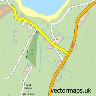
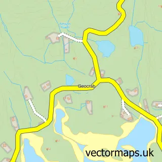
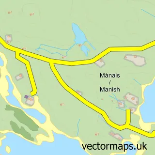
Nearby street map samples around Am Baile

More street maps in Western Isles
750 metre map area coverage
Boundary, postcode and point of interest information for the 750m x 750m rectangle centred on this sample map.
Boundaries containing map centre
Constituency: Na h-Eileanan an Iar Co Const
District: Na h-Eileanan an Iar
Icb: Western Isles
Postcode District: HS4
Postcode Sector: HS4 3
Ward: Na Hearadh Ward
Nearby boundaries intersecting sample
No additional intersecting boundaries found.
Postcode coverage
POI category counts
Bed And Breakfast: 3
Arts And Crafts: 1
Church Cathedral: 1
Seafood Restaurant: 1
Sample points of interest
- Pink Sheep Studio
- Cnoc na Uamha B & B
- New Haven
- Two Harbours Guest House
- Scalpay Free Church - Continuing
- North Harbour Bistro
Create a larger editable map of Am Baile
This sample shows only a 750 metre area. To create a larger map of Am Baile, use our map builder to choose your own coverage area, add titles and download editable SVG, PDF and PNG files.
Create a custom map of Am Baile