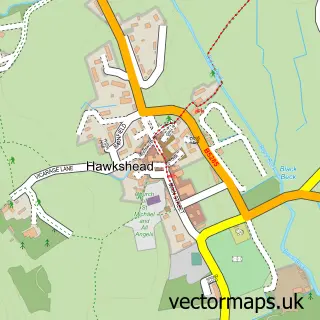
This Ambleside street map is a detailed vector street map covering a 750m x 750m area. Select a larger area to create and download your own vector street map of Ambleside.
The 750-metre map sample for Ambleside covers 351 mapped buildings and approximately 18.9 km of road detail, of which 48 named roads are named. The immediate area includes 1 school, 1 GP surgery, 13 pubs and 1 MOT station. The wider area around Ambleside features 11 tourism points of interest, 43 food and drink venues and 21 hotels. To create a larger or custom map of Ambleside, the map builder lets you define your own coverage area and download editable SVG, PDF and PNG files.
Create a larger editable map of Ambleside
Choose any area you need and generate a high-quality vector map instantly. Perfect for print, planning, design, business and personal use.

This Ambleside street map in Cumbria is available as downloadable SVG, PDF and PNG map files, or as a printed map for planning, business, display, education, local information and design work. You can also create a larger custom map area using the map selector.
What this Ambleside map sample shows
Ambleside lies within Lakes Cp parish, part of Ambleside & Grasmere ward in the Westmorland And Furness local authority area. The postcode geography for this area includes the LA postcode area, the LA22 postcode district and the LA22 0 postcode sector. Residents fall under the Nhs Lancashire And South Cumbria Integrated Care Board for NHS services.
Local features near Ambleside
Within 2 milesAmenities and services in and around Ambleside.
Administrative and postcode information for Ambleside
Ambleside lies within Lakes Cp parish, part of Ambleside & Grasmere ward in the Westmorland And Furness local authority area. The postcode geography for this area includes the LA postcode area, the LA22 postcode district and the LA22 0 postcode sector. Residents fall under the Nhs Lancashire And South Cumbria Integrated Care Board for NHS services.
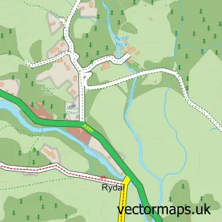
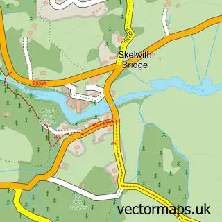
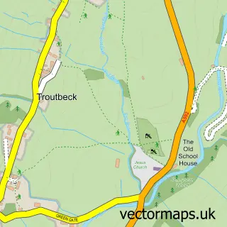
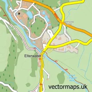
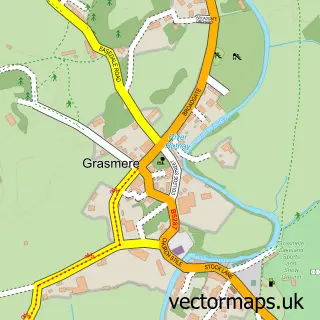
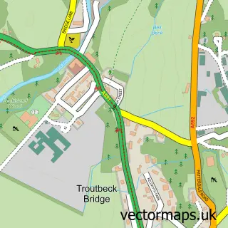
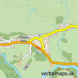
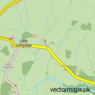
Nearby street map samples around Ambleside

More street maps in Cumbria
750 metre map area coverage
Boundary, postcode and point of interest information for the 750m x 750m rectangle centred on this sample map.
Boundaries containing map centre
Constituency: Westmorland and Lonsdale Co Const
District: Westmorland and Furness
Icb: NHS Lancashire and South Cumbria ICB
Parish: Lakes CP
Police Force: cumbria
Postcode District: LA22
Postcode Sector: LA22 9
Ward: Windermere and Ambleside Ward
Nearby boundaries intersecting sample
Postcode Sector: LA22 0
Postcode coverage
POI category counts
Bed And Breakfast: 40
Hotel: 21
Outdoor Gear: 14
Cafe: 13
Pub: 13
Holiday Rental Home: 11
Restaurant: 11
Clothing Store: 8
Flowers And Gifts Shop: 8
Bar: 6
Sample points of interest
- Avalon Ambleside
- Fairfield Halls
- The Armitt: Escape Box Experiences
- St Mary's Parish Church
- Cook House Gallery
- Hobbs Gallery
- National Park Print Shop
- Old Courthouse Gallery
- Shinglers
- Shinglers
- Doi Intanon Thai Restaurant
- Jintana Thai Restaurant
Create a larger editable map of Ambleside
This sample shows only a 750 metre area. To create a larger map of Ambleside, use our map builder to choose your own coverage area, add titles and download editable SVG, PDF and PNG files.
Create a custom map of Ambleside