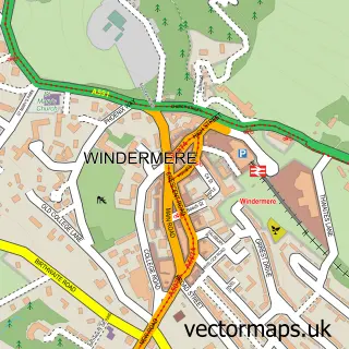
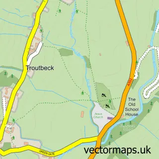
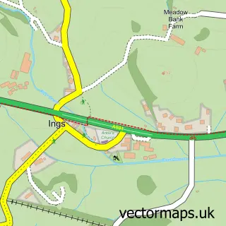
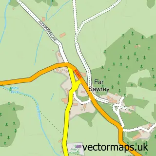
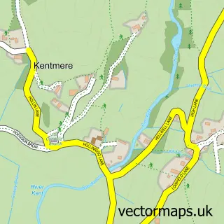
This Troutbeck Bridge street map is a detailed vector street map covering a 750m x 750m area. Select a larger area to create and download your own vector street map of Troutbeck Bridge.
The 750-metre map sample for Troutbeck Bridge covers 113 mapped buildings and approximately 14.9 km of road detail, of which 6 named roads are named. The immediate area includes 1 school, 2 GP surgeries within 2 miles, 1 pub and 2 MOT stations within 2 miles. The wider area around Troutbeck Bridge features 1 tourism point of interest, 1 food and drink venue and 2 hotels. To create a larger or custom map of Troutbeck Bridge, the map builder lets you define your own coverage area and download editable SVG, PDF and PNG files.
Create a larger editable map of Troutbeck Bridge
Choose any area you need and generate a high-quality vector map instantly. Perfect for print, planning, design, business and personal use.

This Troutbeck Bridge street map in Cumbria is available as downloadable SVG, PDF and PNG map files, or as a printed map for planning, business, display, education, local information and design work. You can also create a larger custom map area using the map selector.
What this Troutbeck Bridge map sample shows
Troutbeck Bridge lies within Windermere Cp parish, part of Windermere ward in the Westmorland And Furness local authority area. The postcode geography for this area includes the LA postcode area, the LA23 postcode district and the LA23 1 postcode sector. Residents fall under the Nhs Lancashire And South Cumbria Integrated Care Board for NHS services.
Local features near Troutbeck Bridge
Within 2 milesAmenities and services in and around Troutbeck Bridge.
Administrative and postcode information for Troutbeck Bridge
Troutbeck Bridge lies within Windermere Cp parish, part of Windermere ward in the Westmorland And Furness local authority area. The postcode geography for this area includes the LA postcode area, the LA23 postcode district and the LA23 1 postcode sector. Residents fall under the Nhs Lancashire And South Cumbria Integrated Care Board for NHS services.
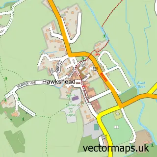
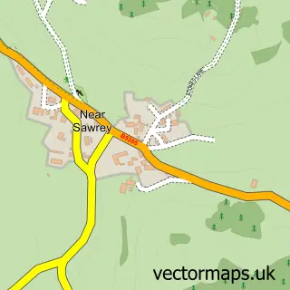
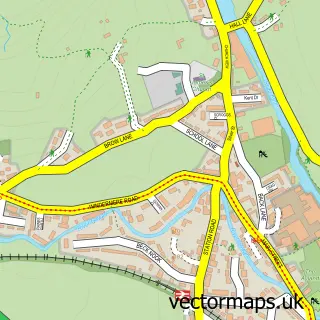
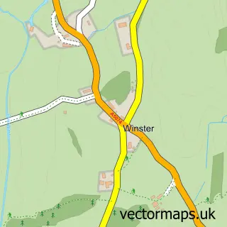
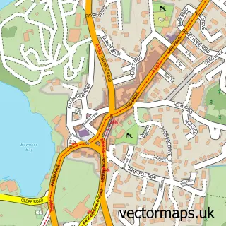
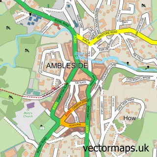
Nearby street map samples around Troutbeck Bridge

More street maps in Cumbria
750 metre map area coverage
Boundary, postcode and point of interest information for the 750m x 750m rectangle centred on this sample map.
Boundaries containing map centre
Constituency: Westmorland and Lonsdale Co Const
District: Westmorland and Furness
Icb: NHS Lancashire and South Cumbria ICB
Parish: Windermere and Bowness CP
Police Force: cumbria
Postcode District: LA23
Postcode Sector: LA23 1
Ward: Windermere and Ambleside Ward
Nearby boundaries intersecting sample
Parish: Lakes CP
Postcode coverage
POI category counts
Gas Station: 4
Gym: 3
Hotel: 2
Massage Therapy: 2
Alternative Medicine: 1
Amusement Park: 1
Bed And Breakfast: 1
Business Management Services: 1
Contractor: 1
Convenience Store: 1
Sample points of interest
- Julie Brockbank Holistic Therapist
- Critter Creek Adventure Golf
- The Homestead Lodge
- Eunice McMullen Ltd.
- Gordon Greaves Slate Ltd
- SPAR Troutbeck Bridge
- BP
- ESSO Station
- Shell
- Troutbeck Bridge Services
- Choices Health Club Troutbeck Bridge
- Choices Health Club Windermere
Create a larger editable map of Troutbeck Bridge
This sample shows only a 750 metre area. To create a larger map of Troutbeck Bridge, use our map builder to choose your own coverage area, add titles and download editable SVG, PDF and PNG files.
Create a custom map of Troutbeck Bridge