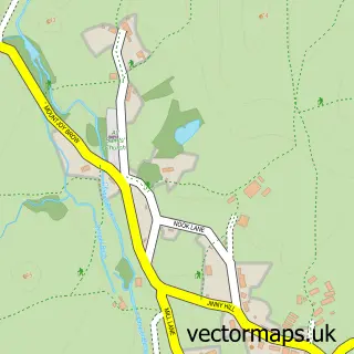
This Ings street map is a detailed vector street map covering a 750m x 750m area. Select a larger area to create and download your own vector street map of Ings.
The 750-metre map sample for Ings covers 60 mapped buildings and approximately 9.9 km of road detail. The immediate area includes 2 pubs and 2 MOT stations within 2 miles. The wider area around Ings features 2 tourism points of interest, 3 food and drink venues and 3 hotels. To create a larger or custom map of Ings, the map builder lets you define your own coverage area and download editable SVG, PDF and PNG files.
Create a larger editable map of Ings
Choose any area you need and generate a high-quality vector map instantly. Perfect for print, planning, design, business and personal use.

This Ings street map in Cumbria is available as downloadable SVG, PDF and PNG map files, or as a printed map for planning, business, display, education, local information and design work. You can also create a larger custom map area using the map selector.
What this Ings map sample shows
Ings lies within Hugill Cp parish, part of Kendal Rural ward in the Westmorland And Furness local authority area. The postcode geography for this area includes the LA postcode area, the LA8 postcode district and the LA8 9 postcode sector. Residents fall under the Nhs Lancashire And South Cumbria Integrated Care Board for NHS services.
Local features near Ings
Within 2 milesAmenities and services in and around Ings.
Administrative and postcode information for Ings
The local authority covering Ings is Westmorland And Furness, within the county of Cumbria. The settlement lies within Kendal Rural ward and Hugill Cp civil parish. The LA8 postcode district and LA8 9 postcode sector serve the immediate area. NHS provision in the area is delivered through University Hospitals Of Morecambe Bay Nhs Foundation Trust.
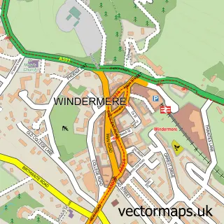
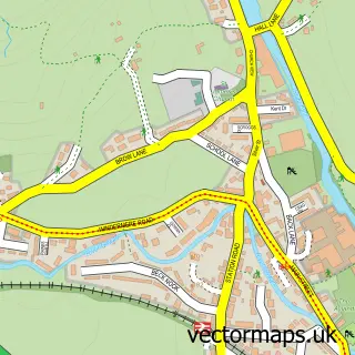
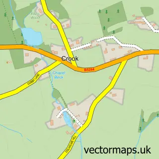
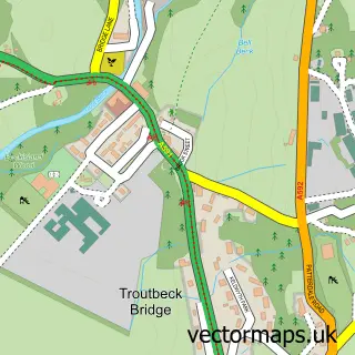
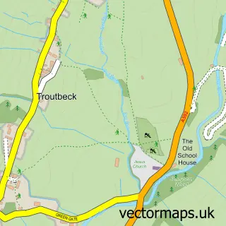
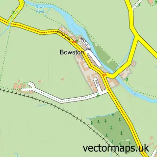
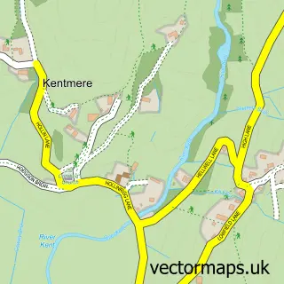
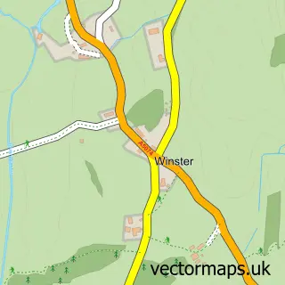
Nearby street map samples around Ings

More street maps in Cumbria
750 metre map area coverage
Boundary, postcode and point of interest information for the 750m x 750m rectangle centred on this sample map.
Boundaries containing map centre
Constituency: Westmorland and Lonsdale Co Const
District: Westmorland and Furness
Icb: NHS Lancashire and South Cumbria ICB
Parish: Hugill CP
Police Force: cumbria
Postcode District: LA8
Postcode Sector: LA8 9
Ward: Upper Kent Ward
Nearby boundaries intersecting sample
Parish: Nether Staveley CP
Postcode coverage
POI category counts
Bed And Breakfast: 2
Convenience Store: 2
Gas Station: 2
Hotel: 2
Pub: 2
Anglican Church: 1
Bicycle Shop: 1
Brewery: 1
Campground: 1
Car Wash: 1
Sample points of interest
- St Anne
- Meadowcroft Country Guest House
- The Hill BnB
- Biketreks
- Watermill Inn & Brewing Co.
- Ings Mill Park
- South Lakes Valeting
- Costa Express
- Costcutter
- Londis Ings
- Evri ParcelShop
- Lakeland Farm Visitor Centre
Create a larger editable map of Ings
This sample shows only a 750 metre area. To create a larger map of Ings, use our map builder to choose your own coverage area, add titles and download editable SVG, PDF and PNG files.
Create a custom map of Ings