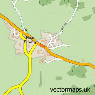
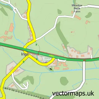
This Far Sawrey street map is a detailed vector street map covering a 750m x 750m area. Select a larger area to create and download your own vector street map of Far Sawrey.
The 750-metre map sample for Far Sawrey covers 49 mapped buildings and approximately 7.8 km of road detail, of which 1 named road are named. The wider area around Far Sawrey features 1 tourism point of interest, 1 food and drink venue and 3 hotels. To create a larger or custom map of Far Sawrey, the map builder lets you define your own coverage area and download editable SVG, PDF and PNG files.
Create a larger editable map of Far Sawrey
Choose any area you need and generate a high-quality vector map instantly. Perfect for print, planning, design, business and personal use.

This Far Sawrey street map in Cumbria is available as downloadable SVG, PDF and PNG map files, or as a printed map for planning, business, display, education, local information and design work. You can also create a larger custom map area using the map selector.
What this Far Sawrey map sample shows
Far Sawrey lies within Claife Cp parish, part of Broughton & Coniston ward in the Westmorland And Furness local authority area. The postcode geography for this area includes the LA postcode area, the LA22 postcode district and the LA22 0 postcode sector. Residents fall under the Nhs Lancashire And South Cumbria Integrated Care Board for NHS services.
Local features near Far Sawrey
Within 2 milesAmenities and services in and around Far Sawrey.
Administrative and postcode information for Far Sawrey
The local authority covering Far Sawrey is Westmorland And Furness, within the county of Cumbria. The settlement lies within Broughton & Coniston ward and Claife Cp civil parish. The LA22 postcode district and LA22 0 postcode sector serve the immediate area. NHS provision in the area is delivered through University Hospitals Of Morecambe Bay Nhs Foundation Trust.
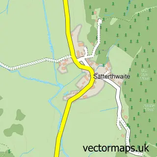
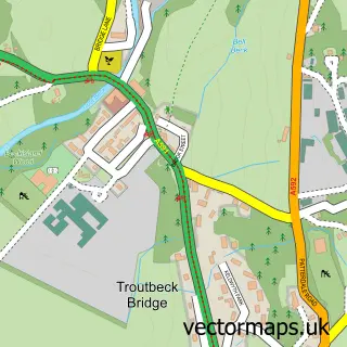
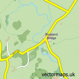
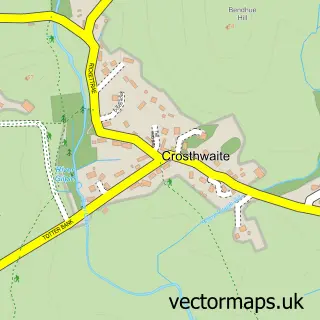
Nearby street map samples around Far Sawrey

More street maps in Cumbria
750 metre map area coverage
Boundary, postcode and point of interest information for the 750m x 750m rectangle centred on this sample map.
Boundaries containing map centre
Constituency: Westmorland and Lonsdale Co Const
District: Westmorland and Furness
Icb: NHS Lancashire and South Cumbria ICB
Parish: Claife CP
Police Force: cumbria
Postcode District: LA22
Postcode Sector: LA22 0
Ward: Coniston and Hawkshead Ward
Nearby boundaries intersecting sample
No additional intersecting boundaries found.
Postcode coverage
POI category counts
Hotel: 3
Holiday Rental Home: 2
Anglican Church: 1
Beauty Product Supplier: 1
Cafe: 1
Church Cathedral: 1
Cosmetic And Beauty Supplies: 1
Event Planning: 1
Inn: 1
Landmark And Historical Building: 1
Sample points of interest
- St Peter
- Pure Lakes Skincare
- Frithy's
- St Peters Parish Church
- Pure Lakes Skincare
- The Lakes Catering Company
- Brimstock Cottage
- Sawrey Stables
- Dell Cottage
- Sawrey Knots
- The Old Vicarage
- Cuckoo Brow Inn
Create a larger editable map of Far Sawrey
This sample shows only a 750 metre area. To create a larger map of Far Sawrey, use our map builder to choose your own coverage area, add titles and download editable SVG, PDF and PNG files.
Create a custom map of Far Sawrey