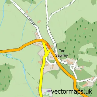
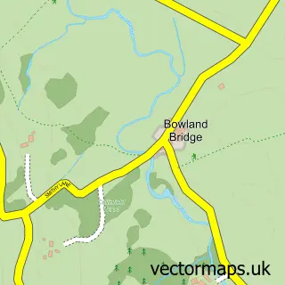
This Near Sawrey street map is a detailed vector street map covering a 750m x 750m area. Select a larger area to create and download your own vector street map of Near Sawrey.
The 750-metre map sample for Near Sawrey covers 61 mapped buildings and approximately 11.7 km of road detail, of which 1 named road are named. The immediate area includes 1 pub and 1 MOT station within 2 miles. The wider area around Near Sawrey features 4 tourism points of interest, 1 food and drink venue and 1 hotel. To create a larger or custom map of Near Sawrey, the map builder lets you define your own coverage area and download editable SVG, PDF and PNG files.
Create a larger editable map of Near Sawrey
Choose any area you need and generate a high-quality vector map instantly. Perfect for print, planning, design, business and personal use.

This Near Sawrey street map in Cumbria is available as downloadable SVG, PDF and PNG map files, or as a printed map for planning, business, display, education, local information and design work. You can also create a larger custom map area using the map selector.
What this Near Sawrey map sample shows
Near Sawrey lies within Claife Cp parish, part of Broughton & Coniston ward in the Westmorland And Furness local authority area. The postcode geography for this area includes the LA postcode area, the LA22 postcode district and the LA22 0 postcode sector. Residents fall under the Nhs Lancashire And South Cumbria Integrated Care Board for NHS services.
Local features near Near Sawrey
Within 2 milesAmenities and services in and around Near Sawrey.
Administrative and postcode information for Near Sawrey
Near Sawrey lies within Claife Cp parish, part of Broughton & Coniston ward in the Westmorland And Furness local authority area. The postcode geography for this area includes the LA postcode area, the LA22 postcode district and the LA22 0 postcode sector. Residents fall under the Nhs Lancashire And South Cumbria Integrated Care Board for NHS services.
Nearby street map samples around Near Sawrey
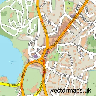

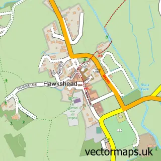
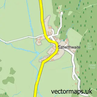
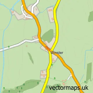
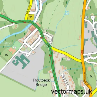
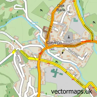
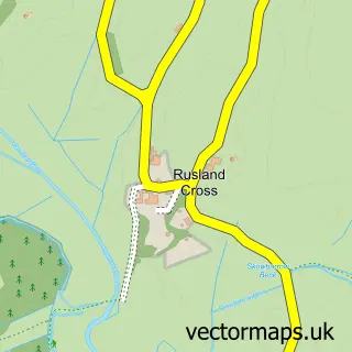
More street maps in Cumbria
750 metre map area coverage
Boundary, postcode and point of interest information for the 750m x 750m rectangle centred on this sample map.
Boundaries containing map centre
Constituency: Westmorland and Lonsdale Co Const
District: Westmorland and Furness
Icb: NHS Lancashire and South Cumbria ICB
Parish: Claife CP
Police Force: cumbria
Postcode District: LA22
Postcode Sector: LA22 0
Ward: Coniston and Hawkshead Ward
Nearby boundaries intersecting sample
No additional intersecting boundaries found.
Postcode coverage
POI category counts
Bed And Breakfast: 4
Attractions And Activities: 1
Fashion Accessories Store: 1
Furniture Store: 1
History Museum: 1
Hotel: 1
Landmark And Historical Building: 1
Monument: 1
Museum: 1
Pub: 1
Sample points of interest
- Hill Top and Hawkshead
- Beechmount Country House
- Belle Green Bed and Breakfast
- Ees Wyke Country House
- Sawrey House Hotel
- Hattie Crabtree Leatherwork and Saddlery
- Herdwick
- National Trust - Hill Top
- Esthwaite How Farmhouse
- Hill Top
- Hill Top Beatrix Potter House
- Hill Top Cumbria
Create a larger editable map of Near Sawrey
This sample shows only a 750 metre area. To create a larger map of Near Sawrey, use our map builder to choose your own coverage area, add titles and download editable SVG, PDF and PNG files.
Create a custom map of Near Sawrey