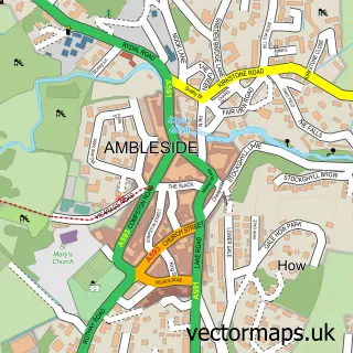
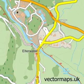
This Coniston street map is a detailed vector street map covering a 750m x 750m area. Select a larger area to create and download your own vector street map of Coniston.
The 750-metre map sample for Coniston covers 274 mapped buildings and approximately 17.7 km of road detail, of which 17 named roads are named. The immediate area includes 1 primary school and 1 secondary school, 1 GP surgery, 5 pubs and 1 MOT station. The wider area around Coniston features 10 tourism points of interest, 14 food and drink venues and 11 hotels. To create a larger or custom map of Coniston, the map builder lets you define your own coverage area and download editable SVG, PDF and PNG files.
Create a larger editable map of Coniston
Choose any area you need and generate a high-quality vector map instantly. Perfect for print, planning, design, business and personal use.

This Coniston street map in Cumbria is available as downloadable SVG, PDF and PNG map files, or as a printed map for planning, business, display, education, local information and design work. You can also create a larger custom map area using the map selector.
What this Coniston map sample shows
Coniston lies within Coniston Cp parish, part of Broughton & Coniston ward in the Westmorland And Furness local authority area. The postcode geography for this area includes the LA postcode area, the LA21 postcode district and the LA21 8 postcode sector. Residents fall under the Nhs Lancashire And South Cumbria Integrated Care Board for NHS services.
Local features near Coniston
Within 2 milesAmenities and services in and around Coniston.
Administrative and postcode information for Coniston
The local authority covering Coniston is Westmorland And Furness, within the county of Cumbria. The settlement lies within Broughton & Coniston ward and Coniston Cp civil parish. The LA21 postcode district and LA21 8 postcode sector serve the immediate area. NHS provision in the area is delivered through University Hospitals Of Morecambe Bay Nhs Foundation Trust.
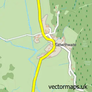
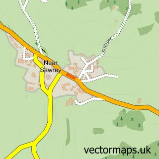
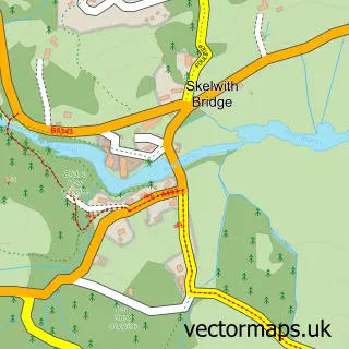
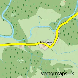
Nearby street map samples around Coniston

More street maps in Cumbria
750 metre map area coverage
Boundary, postcode and point of interest information for the 750m x 750m rectangle centred on this sample map.
Boundaries containing map centre
Constituency: Westmorland and Lonsdale Co Const
District: Westmorland and Furness
Icb: NHS Lancashire and South Cumbria ICB
Parish: Coniston CP
Police Force: cumbria
Postcode District: LA21
Postcode Sector: LA21 8
Ward: Coniston and Hawkshead Ward
Nearby boundaries intersecting sample
No additional intersecting boundaries found.
Postcode coverage
POI category counts
Hotel: 11
Cafe: 7
Bed And Breakfast: 6
Flowers And Gifts Shop: 6
Holiday Rental Home: 6
Pub: 5
Convenience Store: 4
Attractions And Activities: 3
Beauty Salon: 3
Carpenter: 3
Sample points of interest
- St Andrew's Church
- Coniston Honest Shop
- The Honest Shop
- Adventure 21
- Adventure North West
- Big Adventure
- Berties in Coniston
- Aromatherapy Direct
- Mother Earth
- South Lakes Laser & Skin Clinic
- Coniston Holidays Self Catering Cottages Coniston
- Lakeland House
Create a larger editable map of Coniston
This sample shows only a 750 metre area. To create a larger map of Coniston, use our map builder to choose your own coverage area, add titles and download editable SVG, PDF and PNG files.
Create a custom map of Coniston