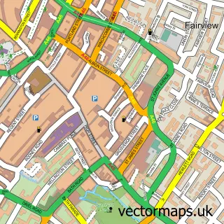
This Andoversford street map is a detailed vector street map covering a 750m x 750m area. Select a larger area to create and download your own vector street map of Andoversford.
The 750-metre map sample for Andoversford covers 158 mapped buildings and approximately 19.2 km of road detail, of which 11 named roads are named. The immediate area includes 1 school, 2 pubs and 1 MOT station. The wider area around Andoversford features 3 food and drink venues and 1 hotel. To create a larger or custom map of Andoversford, the map builder lets you define your own coverage area and download editable SVG, PDF and PNG files.
Create a larger editable map of Andoversford
Choose any area you need and generate a high-quality vector map instantly. Perfect for print, planning, design, business and personal use.

This Andoversford street map in Gloucestershire is available as downloadable SVG, PDF and PNG map files, or as a printed map for planning, business, display, education, local information and design work. You can also create a larger custom map area using the map selector.
What this Andoversford map sample shows
Andoversford lies within Andoversford Cp parish, part of Sandywell ward in the Cotswold District local authority area. The postcode geography for this area includes the GL postcode area, the GL54 postcode district and the GL54 4 postcode sector. Residents fall under the Nhs Gloucestershire Integrated Care Board for NHS services.
Local features near Andoversford
Within 2 milesAmenities and services in and around Andoversford.
Administrative and postcode information for Andoversford
Andoversford lies within Andoversford Cp parish, part of Sandywell ward in the Cotswold District local authority area. The postcode geography for this area includes the GL postcode area, the GL54 postcode district and the GL54 4 postcode sector. Residents fall under the Nhs Gloucestershire Integrated Care Board for NHS services.
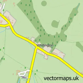
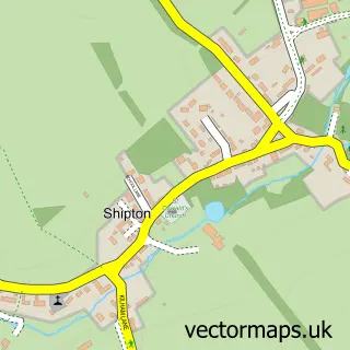
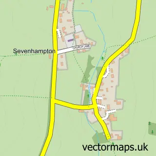
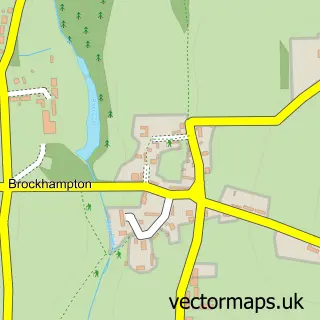
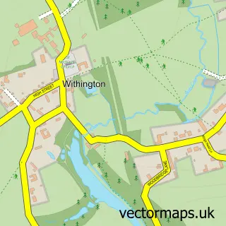
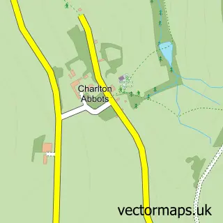
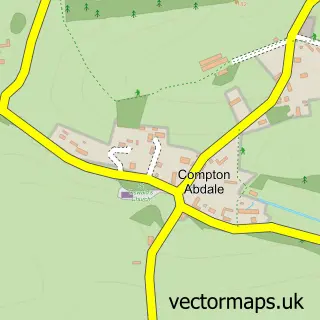
Nearby street map samples around Andoversford

More street maps in Gloucestershire
750 metre map area coverage
Boundary, postcode and point of interest information for the 750m x 750m rectangle centred on this sample map.
Boundaries containing map centre
Constituency: North Cotswolds Co Const
County: Gloucestershire County
District: Cotswold District
Icb: NHS Gloucestershire ICB
Parish: Andoversford CP
Police Force: gloucestershire
Postcode District: GL54
Postcode Sector: GL54 4
Ward: Sandywell Ward
Nearby boundaries intersecting sample
Parish: Shipton CP, Whittington CP
Postcode Sector: GL54 5
Postcode coverage
POI category counts
Advertising Agency: 2
Driving School: 2
Employment Agencies: 2
Food Beverage Service Distribution: 2
Hvac Services: 2
Professional Services: 2
Pub: 2
Security Systems: 2
Shipping Center: 2
Amateur Sports Team: 1
Sample points of interest
- Marble Cake
- Racing Colours
- Andoversford Football Club
- Andoversford Garage and MOT Centre
- Monere Construction Ltd.
- Coln Clearances
- Monere Construction
- Racing Colours Ltd.
- A40 Hideout
- Coln Rivergroup
- Andoversford Industrial Estate
- Noyes Lewis Commercial Property
Create a larger editable map of Andoversford
This sample shows only a 750 metre area. To create a larger map of Andoversford, use our map builder to choose your own coverage area, add titles and download editable SVG, PDF and PNG files.
Create a custom map of Andoversford