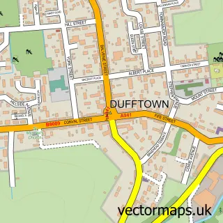
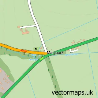
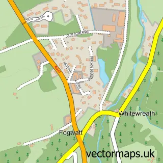
This Archiestown street map is a detailed vector street map covering a 750m x 750m area. Select a larger area to create and download your own vector street map of Archiestown.
The 750-metre map sample for Archiestown covers 110 mapped buildings and approximately 9.6 km of road detail, of which 14 named roads are named. The wider area around Archiestown features 2 hotels and 1 campsite within 2 miles. To create a larger or custom map of Archiestown, the map builder lets you define your own coverage area and download editable SVG, PDF and PNG files.
Create a larger editable map of Archiestown
Choose any area you need and generate a high-quality vector map instantly. Perfect for print, planning, design, business and personal use.

This Archiestown street map in Moray is available as downloadable SVG, PDF and PNG map files, or as a printed map for planning, business, display, education, local information and design work. You can also create a larger custom map area using the map selector.
What this Archiestown map sample shows
Archiestown lies within Moray parish, part of Speyside Glenlivet ward in the Moray local authority area. The postcode geography for this area includes the AB postcode area, the AB38 postcode district and the AB38 7 postcode sector. Residents fall under the Grampian for NHS services.
Local features near Archiestown
Within 2 milesAmenities and services in and around Archiestown.
Administrative and postcode information for Archiestown
The local authority covering Archiestown is Moray, within the county of Moray. The settlement lies within Speyside Glenlivet ward and Moray civil parish. The AB38 postcode district and AB38 7 postcode sector serve the immediate area. NHS provision in the area is delivered through Grampian.
Nearby street map samples around Archiestown

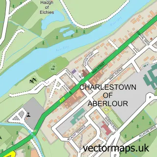
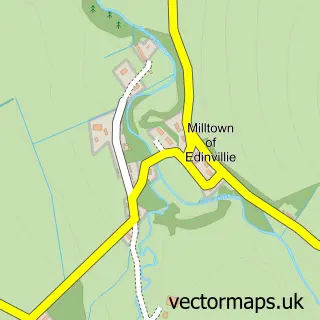
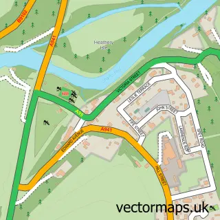
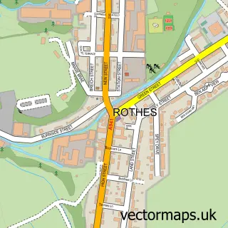
More street maps in Moray
750 metre map area coverage
Boundary, postcode and point of interest information for the 750m x 750m rectangle centred on this sample map.
Boundaries containing map centre
Constituency: Moray West, Nairn and Strathspey Co Const
District: Moray
Icb: Grampian
Postcode District: AB38
Postcode Sector: AB38 7
Ward: Speyside Glenlivet Ward
Nearby boundaries intersecting sample
No additional intersecting boundaries found.
Postcode coverage
POI category counts
Hotel: 2
Jewelry Store: 1
Korean Grocery Store: 1
Motel: 1
Post Office: 1
Veterinarian: 1
Sample points of interest
- Archiestown Hotel Aberlour
- Hotel 1881
- Dino-daisy
- Archiestown Sub Post Office
- Croft on The Green Archiestown
- Post Office-Archiestown
- Aberlour Veterinary Centre
Create a larger editable map of Archiestown
This sample shows only a 750 metre area. To create a larger map of Archiestown, use our map builder to choose your own coverage area, add titles and download editable SVG, PDF and PNG files.
Create a custom map of Archiestown