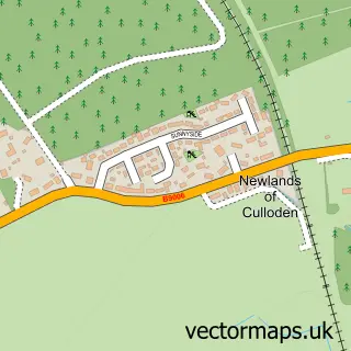
This Ardersier street map is a detailed vector street map covering a 750m x 750m area. Select a larger area to create and download your own vector street map of Ardersier.
The 750-metre map sample for Ardersier covers 99 mapped buildings and approximately 12.5 km of road detail, of which 15 named roads are named. The immediate area includes 1 pub. The wider area around Ardersier features 2 tourism points of interest, 2 food and drink venues and 2 hotels. To create a larger or custom map of Ardersier, the map builder lets you define your own coverage area and download editable SVG, PDF and PNG files.
Create a larger editable map of Ardersier
Choose any area you need and generate a high-quality vector map instantly. Perfect for print, planning, design, business and personal use.

This Ardersier street map in Inverness is available as downloadable SVG, PDF and PNG map files, or as a printed map for planning, business, display, education, local information and design work. You can also create a larger custom map area using the map selector.
What this Ardersier map sample shows
Ardersier lies within Highland parish, part of Culloden And Ardersier ward in the Highland local authority area. The postcode geography for this area includes the IV postcode area, the IV2 postcode district and the IV2 7 postcode sector. Residents fall under the Highland for NHS services.
Local features near Ardersier
Within 2 milesAmenities and services in and around Ardersier.
Administrative and postcode information for Ardersier
The local authority covering Ardersier is Highland, within the county of Inverness. The settlement lies within Culloden And Ardersier ward and Highland civil parish. The IV2 postcode district and IV2 7 postcode sector serve the immediate area. NHS provision in the area is delivered through Highland.
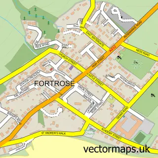
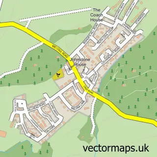
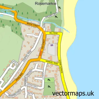
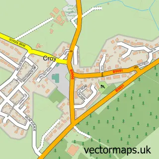
Nearby street map samples around Ardersier

More street maps in Inverness
750 metre map area coverage
Boundary, postcode and point of interest information for the 750m x 750m rectangle centred on this sample map.
Boundaries containing map centre
Constituency: Moray West, Nairn and Strathspey Co Const
District: Highland
Icb: Highland
Postcode District: IV2
Postcode Sector: IV2 7
Ward: Culloden and Ardersier Ward
Nearby boundaries intersecting sample
No additional intersecting boundaries found.
Postcode coverage
POI category counts
Beauty Salon: 2
Convenience Store: 2
Elementary School: 2
Hotel: 2
Post Office: 2
Auto Detailing: 1
Bar: 1
Barber: 1
Carpenter: 1
Church Cathedral: 1
Sample points of interest
- Highland Polishing
- The George Inn
- Chameleon Barbers
- Venus Beauty Salon
- Vogue Beauty
- Ian Maclennan Joinery
- Ardersier parish church
- Wendy's Cafe
- McColl's
- SPAR Ardersier
- Nairn Healthcare Group
- Ardersier Primary School
Create a larger editable map of Ardersier
This sample shows only a 750 metre area. To create a larger map of Ardersier, use our map builder to choose your own coverage area, add titles and download editable SVG, PDF and PNG files.
Create a custom map of Ardersier