This Tornagrain street map is a detailed vector street map covering a 750m x 750m area. Select a larger area to create and download your own vector street map of Tornagrain.
The 750-metre map sample for Tornagrain covers 133 mapped buildings and approximately 8.1 km of road detail, of which 15 named roads are named. The wider area around Tornagrain features 1 food and drink venue and 1 hotel. To create a larger or custom map of Tornagrain, the map builder lets you define your own coverage area and download editable SVG, PDF and PNG files.
Create a larger editable map of Tornagrain
Choose any area you need and generate a high-quality vector map instantly. Perfect for print, planning, design, business and personal use.

This Tornagrain street map in Inverness is available as downloadable SVG, PDF and PNG map files, or as a printed map for planning, business, display, education, local information and design work. You can also create a larger custom map area using the map selector.
What this Tornagrain map sample shows
Tornagrain lies within Highland parish, part of Culloden And Ardersier ward in the Highland local authority area. The postcode geography for this area includes the IV postcode area, the IV2 postcode district and the IV2 7 postcode sector. Residents fall under the Highland for NHS services.
Local features near Tornagrain
Within 2 milesAmenities and services in and around Tornagrain.
Administrative and postcode information for Tornagrain
Tornagrain lies within Highland parish, part of Culloden And Ardersier ward in the Highland local authority area. The postcode geography for this area includes the IV postcode area, the IV2 postcode district and the IV2 7 postcode sector. Residents fall under the Highland for NHS services.
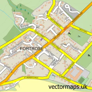
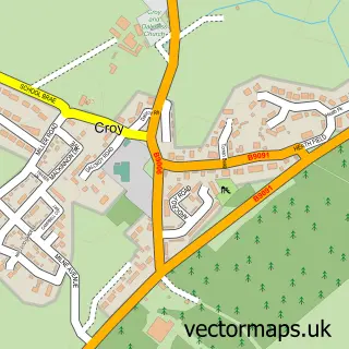
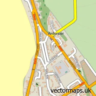
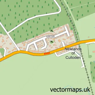
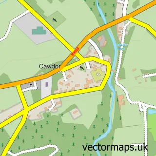
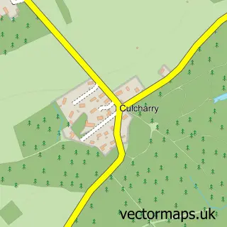
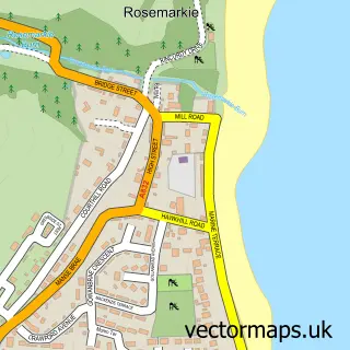
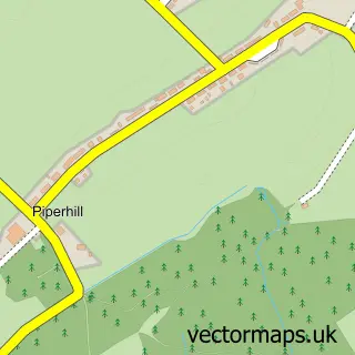
Nearby street map samples around Tornagrain

More street maps in Inverness
750 metre map area coverage
Boundary, postcode and point of interest information for the 750m x 750m rectangle centred on this sample map.
Boundaries containing map centre
Constituency: Moray West, Nairn and Strathspey Co Const
District: Highland
Icb: Highland
Postcode District: IV2
Postcode Sector: IV2 5
Ward: Culloden and Ardersier Ward
Nearby boundaries intersecting sample
Postcode Sector: IV2 7
Postcode coverage
POI category counts
Beauty Salon: 2
Pharmacy: 2
Atms: 1
Cafe: 1
Church Cathedral: 1
Convenience Store: 1
Home Developer: 1
Hotel: 1
Makeup Artist: 1
Marketing Consultant: 1
Sample points of interest
- PayPoint
- B Beautiful Beauty by Beth
- Hayley Tierney Microblading & Beauty
- Hillhead Cafe
- Tornagrain Community Church
- Premier
- Places for People - Tornagrain
- Highland Glen Lodge
- Madeleine Hewitt Makeup Artist Studio
- Madhatter Creative Co.
- Tornagrain Pharmacy
- Tornagrain Pharmacy
Create a larger editable map of Tornagrain
This sample shows only a 750 metre area. To create a larger map of Tornagrain, use our map builder to choose your own coverage area, add titles and download editable SVG, PDF and PNG files.
Create a custom map of Tornagrain