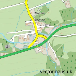
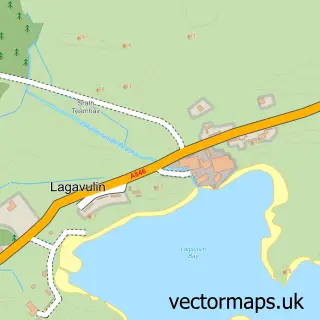
This Ardminish street map is a detailed vector street map covering a 750m x 750m area. Select a larger area to create and download your own vector street map of Ardminish.
The 750-metre map sample for Ardminish covers 46 mapped buildings and approximately 4.1 km of road detail, of which 2 named roads are named. The wider area around Ardminish features 2 hotels. To create a larger or custom map of Ardminish, the map builder lets you define your own coverage area and download editable SVG, PDF and PNG files.
Create a larger editable map of Ardminish
Choose any area you need and generate a high-quality vector map instantly. Perfect for print, planning, design, business and personal use.

This Ardminish street map in Argyll and Bute is available as downloadable SVG, PDF and PNG map files, or as a printed map for planning, business, display, education, local information and design work. You can also create a larger custom map area using the map selector.
What this Ardminish map sample shows
Ardminish lies within Argyll And Bute parish, part of Kintyre And The Islands ward in the Argyll And Bute local authority area. The postcode geography for this area includes the PA postcode area, the PA41 postcode district and the PA41 7 postcode sector. Residents fall under the Highland for NHS services.
Local features near Ardminish
Within 2 milesAmenities and services in and around Ardminish.
Administrative and postcode information for Ardminish
Ardminish lies within Argyll And Bute parish, part of Kintyre And The Islands ward in the Argyll And Bute local authority area. The postcode geography for this area includes the PA postcode area, the PA41 postcode district and the PA41 7 postcode sector. Residents fall under the Highland for NHS services.
Nearby street map samples around Ardminish
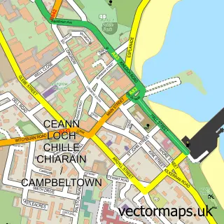

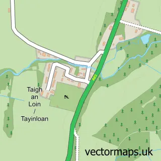
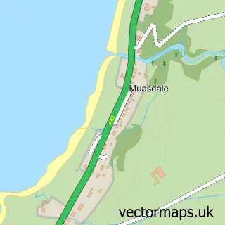
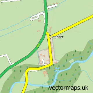
More street maps in Argyll and Bute
750 metre map area coverage
Boundary, postcode and point of interest information for the 750m x 750m rectangle centred on this sample map.
Boundaries containing map centre
Constituency: Argyll, Bute and South Lochaber Co Const
District: Argyll and Bute
Icb: Highland
Postcode District: PA41
Postcode Sector: PA41 7
Ward: Kintyre and the Islands Ward
Nearby boundaries intersecting sample
No additional intersecting boundaries found.
Postcode coverage
POI category counts
Hotel: 2
Seafood Restaurant: 2
Art Gallery: 1
Catholic Church: 1
Charity Organization: 1
Cottage: 1
Fast Food Restaurant: 1
Shipping Center: 1
Sample points of interest
- Edgelands
- Mid Kintyre & Gigha
- Isle of Gigha Heritage Trust
- The Yurt
- The Nook - Seafood Takeaway
- Gigha Hotel
- Isle of Gigha Holiday Cottages
- The Boathouse Cafe Bar
- The Boathouse Restaurant Isle of Gigha
- Gigha (Isle Of) Post Office
Create a larger editable map of Ardminish
This sample shows only a 750 metre area. To create a larger map of Ardminish, use our map builder to choose your own coverage area, add titles and download editable SVG, PDF and PNG files.
Create a custom map of Ardminish