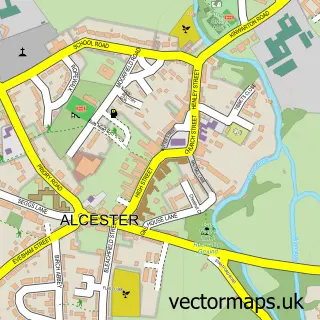
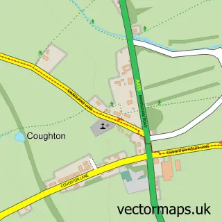
This Arrow street map is a detailed vector street map covering a 750m x 750m area. Select a larger area to create and download your own vector street map of Arrow.
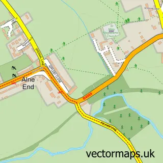
The 750-metre map sample for Arrow covers 43 mapped buildings and approximately 17.2 km of road detail, of which 2 named roads are named. The immediate area includes 2 GP surgeries within 2 miles and 3 MOT stations within 2 miles. To create a larger or custom map of Arrow, the map builder lets you define your own coverage area and download editable SVG, PDF and PNG files.
Create a larger editable map of Arrow
Choose any area you need and generate a high-quality vector map instantly. Perfect for print, planning, design, business and personal use.
This Arrow street map in Warwickshire is available as downloadable SVG, PDF and PNG map files, or as a printed map for planning, business, display, education, local information and design work. You can also create a larger custom map area using the map selector.
What this Arrow map sample shows
Arrow lies within Arrow With Weethley Cp parish, part of Alcester & Rural ward in the Stratford-On-Avon District local authority area. The postcode geography for this area includes the B postcode area, the B49 postcode district and the B49 5 postcode sector. Residents fall under the Nhs Coventry And Warwickshire Integrated Care Board for NHS services.
Local features near Arrow
Within 2 milesAmenities and services in and around Arrow.
Administrative and postcode information for Arrow
Arrow lies within Arrow With Weethley Cp parish, part of Alcester & Rural ward in the Stratford-On-Avon District local authority area. The postcode geography for this area includes the B postcode area, the B49 postcode district and the B49 5 postcode sector. Residents fall under the Nhs Coventry And Warwickshire Integrated Care Board for NHS services.
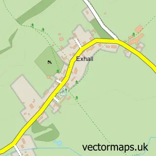
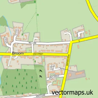
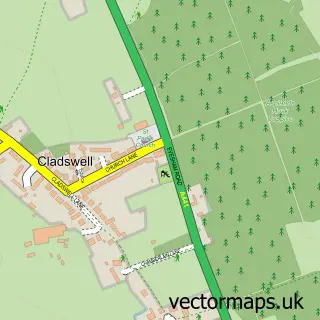
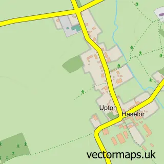
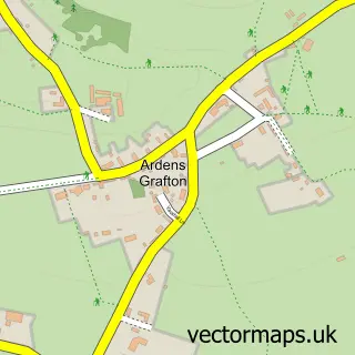
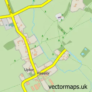
Nearby street map samples around Arrow

More street maps in Warwickshire
750 metre map area coverage
Boundary, postcode and point of interest information for the 750m x 750m rectangle centred on this sample map.
Boundaries containing map centre
Constituency: Stratford-on-Avon Co Const
County: Warwickshire County
District: Stratford-on-Avon District
Icb: NHS Coventry and Warwickshire ICB
Parish: Arrow with Weethley CP
Police Force: warwickshire
Postcode District: B49
Postcode Sector: B49 5
Ward: Salford Priors & Alcester Rural Ward
Nearby boundaries intersecting sample
Parish: Alcester CP
Postcode Sector: B49 6
Ward: Alcester West Ward
Postcode coverage
POI category counts
Anglican Church: 1
Church Cathedral: 1
Kids Recreation And Party: 1
Physical Therapy: 1
Social Club: 1
Tattoo And Piercing: 1
Topic Publisher: 1
Sample points of interest
- Arrow - The Holy Trinity
- Holy Trinity Church
- Skirmish Paintball Birmingham
- Kings Physiotherapy Centre
- Avenues Dating Limited
- The Steam Mill - Tattoo, Tattoo Laser Removal & Aesthetics
- Coral
Create a larger editable map of Arrow
This sample shows only a 750 metre area. To create a larger map of Arrow, use our map builder to choose your own coverage area, add titles and download editable SVG, PDF and PNG files.
Create a custom map of Arrow