This Ardens Grafton street map is a detailed vector street map covering a 750m x 750m area. Select a larger area to create and download your own vector street map of Ardens Grafton.
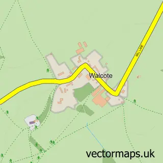
The 750-metre map sample for Ardens Grafton covers 107 mapped buildings and approximately 14.2 km of road detail, of which 2 named roads are named. The immediate area includes 1 GP surgery within 2 miles and 3 MOT stations within 2 miles. The wider area around Ardens Grafton features 1 tourism point of interest. To create a larger or custom map of Ardens Grafton, the map builder lets you define your own coverage area and download editable SVG, PDF and PNG files.
Create a larger editable map of Ardens Grafton
Choose any area you need and generate a high-quality vector map instantly. Perfect for print, planning, design, business and personal use.

This Ardens Grafton street map in Warwickshire is available as downloadable SVG, PDF and PNG map files, or as a printed map for planning, business, display, education, local information and design work. You can also create a larger custom map area using the map selector.
What this Ardens Grafton map sample shows
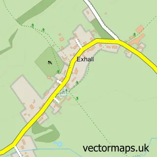
Ardens Grafton lies within Exhall Cp parish, part of Alcester & Rural ward in the Stratford-On-Avon District local authority area. The postcode geography for this area includes the B postcode area, the B49 postcode district and the B49 6 postcode sector. Residents fall under the Nhs Coventry And Warwickshire Integrated Care Board for NHS services.
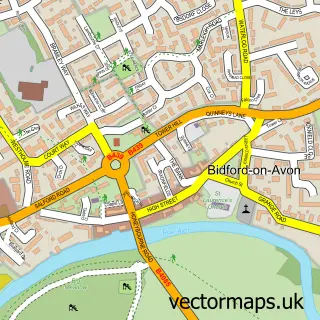
Local features near Ardens Grafton
Within 2 milesAmenities and services in and around Ardens Grafton.
Administrative and postcode information for Ardens Grafton
The local authority covering Ardens Grafton is Stratford-On-Avon District, within the county of Warwickshire. The settlement lies within Alcester & Rural ward and Exhall Cp civil parish. The B49 postcode district and B49 6 postcode sector serve the immediate area. NHS provision in the area is delivered through South Warwickshire University Nhs Foundation Trust.
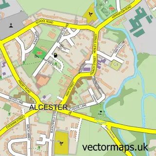
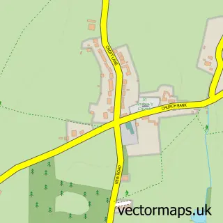
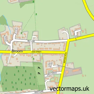
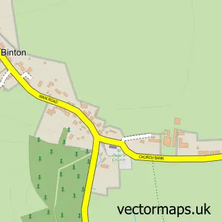
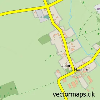
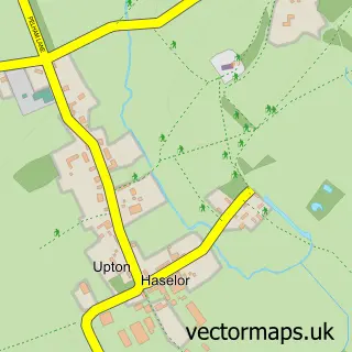
Nearby street map samples around Ardens Grafton

More street maps in Warwickshire
750 metre map area coverage
Boundary, postcode and point of interest information for the 750m x 750m rectangle centred on this sample map.
Boundaries containing map centre
Constituency: Stratford-on-Avon Co Const
County: Warwickshire County
District: Stratford-on-Avon District
Icb: NHS Coventry and Warwickshire ICB
Parish: Temple Grafton CP
Police Force: warwickshire
Postcode District: B49
Postcode Sector: B49 6
Ward: Salford Priors & Alcester Rural Ward
Nearby boundaries intersecting sample
Parish: Exhall CP
Postcode District: B50
Postcode Sector: B50 4
Postcode coverage
POI category counts
Banks: 1
Engineering Services: 1
It Service And Computer Repair: 1
Landmark And Historical Building: 1
Pet Groomer: 1
Sample points of interest
- TSB Bank
- Keysoft Solutions Ltd.
- Key Traffic Systems
- Ardens Grafton
- Best Friends Barbers
Create a larger editable map of Ardens Grafton
This sample shows only a 750 metre area. To create a larger map of Ardens Grafton, use our map builder to choose your own coverage area, add titles and download editable SVG, PDF and PNG files.
Create a custom map of Ardens Grafton