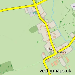
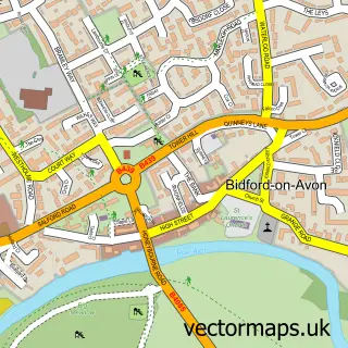
This Temple Grafton street map is a detailed vector street map covering a 750m x 750m area. Select a larger area to create and download your own vector street map of Temple Grafton.
The 750-metre map sample for Temple Grafton covers 69 mapped buildings and approximately 10.9 km of road detail, of which 3 named roads are named. The immediate area includes 1 school, 1 GP surgery within 2 miles and 3 MOT stations within 2 miles. To create a larger or custom map of Temple Grafton, the map builder lets you define your own coverage area and download editable SVG, PDF and PNG files.
Create a larger editable map of Temple Grafton
Choose any area you need and generate a high-quality vector map instantly. Perfect for print, planning, design, business and personal use.

This Temple Grafton street map in Warwickshire is available as downloadable SVG, PDF and PNG map files, or as a printed map for planning, business, display, education, local information and design work. You can also create a larger custom map area using the map selector.
What this Temple Grafton map sample shows
Temple Grafton lies within Temple Grafton Cp parish, part of Alcester & Rural ward in the Stratford-On-Avon District local authority area. The postcode geography for this area includes the B postcode area, the B49 postcode district and the B49 6 postcode sector. Residents fall under the Nhs Coventry And Warwickshire Integrated Care Board for NHS services.
Local features near Temple Grafton
Within 2 milesAmenities and services in and around Temple Grafton.
Administrative and postcode information for Temple Grafton
The local authority covering Temple Grafton is Stratford-On-Avon District, within the county of Warwickshire. The settlement lies within Alcester & Rural ward and Temple Grafton Cp civil parish. The B49 postcode district and B49 6 postcode sector serve the immediate area. NHS provision in the area is delivered through South Warwickshire University Nhs Foundation Trust.
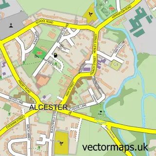
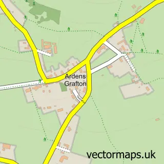
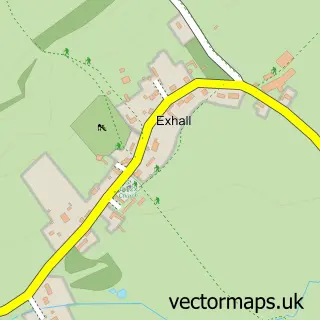
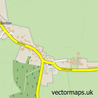
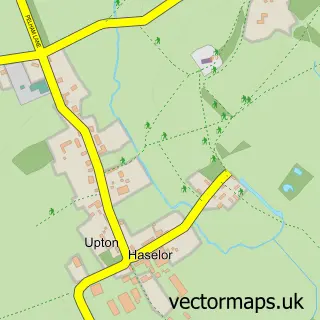
Nearby street map samples around Temple Grafton

More street maps in Warwickshire
750 metre map area coverage
Boundary, postcode and point of interest information for the 750m x 750m rectangle centred on this sample map.
Boundaries containing map centre
Constituency: Stratford-on-Avon Co Const
County: Warwickshire County
District: Stratford-on-Avon District
Icb: NHS Coventry and Warwickshire ICB
Parish: Temple Grafton CP
Police Force: warwickshire
Postcode District: B49
Postcode Sector: B49 6
Ward: Salford Priors & Alcester Rural Ward
Nearby boundaries intersecting sample
No additional intersecting boundaries found.
Postcode coverage
POI category counts
Business Management Services: 2
Financial Service: 2
Accountant: 1
Anglican Church: 1
Automotive Services And Repair: 1
Business: 1
Corporate Entertainment Services: 1
Cycling Classes: 1
Elementary School: 1
Financial Advising: 1
Sample points of interest
- Julia Biddle Accounting
- Temple Grafton - St. Andrew
- Netthreat
- Christine Siddis
- Formation Global
- Formation Live
- Corporate Rewards
- Shokbox UK
- Temple Grafton CofE Primary School
- Beanland Financial Services
- DSE Accountants
- Magna Wealth Management
Create a larger editable map of Temple Grafton
This sample shows only a 750 metre area. To create a larger map of Temple Grafton, use our map builder to choose your own coverage area, add titles and download editable SVG, PDF and PNG files.
Create a custom map of Temple Grafton