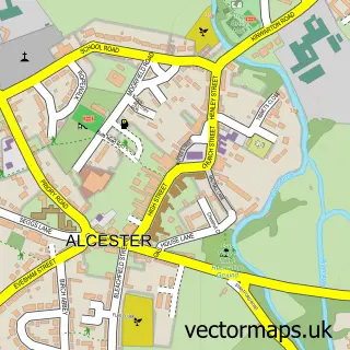
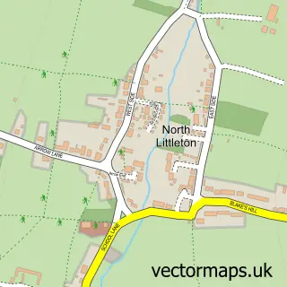
This Bidford on Avon street map is a detailed vector street map covering a 750m x 750m area. Select a larger area to create and download your own vector street map of Bidford on Avon.
The 750-metre map sample for Bidford on Avon covers 446 mapped buildings and approximately 35.5 km of road detail, of which 44 named roads are named. The immediate area includes 1 school, 1 GP surgery within 2 miles, 4 pubs and 4 MOT stations within 2 miles. The wider area around Bidford on Avon features 5 tourism points of interest, 8 food and drink venues and 1 hotel. To create a larger or custom map of Bidford on Avon, the map builder lets you define your own coverage area and download editable SVG, PDF and PNG files.
Create a larger editable map of Bidford on Avon
Choose any area you need and generate a high-quality vector map instantly. Perfect for print, planning, design, business and personal use.

This Bidford on Avon street map in Warwickshire is available as downloadable SVG, PDF and PNG map files, or as a printed map for planning, business, display, education, local information and design work. You can also create a larger custom map area using the map selector.
What this Bidford on Avon map sample shows
Bidford on Avon lies within Bidford-On-Avon Cp parish, part of Bidford East ward in the Stratford-On-Avon District local authority area. The postcode geography for this area includes the B postcode area, the B50 postcode district and the B50 4 postcode sector. Residents fall under the Nhs Coventry And Warwickshire Integrated Care Board for NHS services.
Local features near Bidford on Avon
Within 2 milesAmenities and services in and around Bidford on Avon.
Administrative and postcode information for Bidford on Avon
Bidford on Avon lies within Bidford-On-Avon Cp parish, part of Bidford East ward in the Stratford-On-Avon District local authority area. The postcode geography for this area includes the B postcode area, the B50 postcode district and the B50 4 postcode sector. Residents fall under the Nhs Coventry And Warwickshire Integrated Care Board for NHS services.
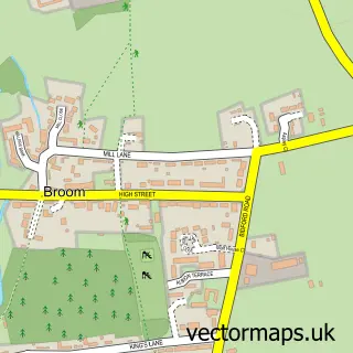
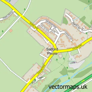
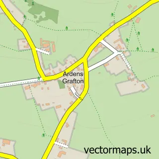
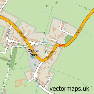
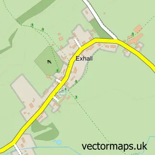
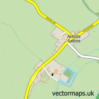
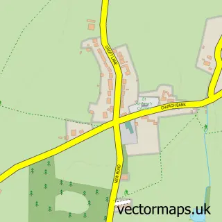
Nearby street map samples around Bidford on Avon

More street maps in Warwickshire
750 metre map area coverage
Boundary, postcode and point of interest information for the 750m x 750m rectangle centred on this sample map.
Boundaries containing map centre
Constituency: Stratford-on-Avon Co Const
County: Warwickshire County
District: Stratford-on-Avon District
Icb: NHS Coventry and Warwickshire ICB
Parish: Bidford-on-Avon CP
Police Force: warwickshire
Postcode District: B50
Postcode Sector: B50 4
Ward: Bidford East Ward
Nearby boundaries intersecting sample
Ward: Bidford West Ward
Postcode coverage
POI category counts
Beauty Salon: 5
Pub: 4
Flowers And Gifts Shop: 3
Funeral Services And Cemeteries: 3
Hair Salon: 3
Park: 3
Rental Kiosks: 3
Accountant: 2
Barber: 2
Boat Rental And Training: 2
Sample points of interest
- Chadwick Accountants & Bookkeepers Ltd
- RJ Wilber Ltd.
- Bidford Men’s Fc
- Astwood Design Consultancy
- Bidford on Avon - St. Laurence
- SGB Architectural Design
- Meadow Lane Bakery
- The Royal Oak Alcester
- Brass Mittens Barber Co.
- The Barbers House
- Plumbfix
- The Barbershouse Bidford
Create a larger editable map of Bidford on Avon
This sample shows only a 750 metre area. To create a larger map of Bidford on Avon, use our map builder to choose your own coverage area, add titles and download editable SVG, PDF and PNG files.
Create a custom map of Bidford on Avon