This Broom street map is a detailed vector street map covering a 750m x 750m area. Select a larger area to create and download your own vector street map of Broom.
The 750-metre map sample for Broom covers 186 mapped buildings and approximately 15.8 km of road detail, of which 9 named roads are named. The immediate area includes 1 GP surgery within 2 miles, 3 pubs and 4 MOT stations within 2 miles. The wider area around Broom features 1 tourism point of interest and 3 food and drink venues. To create a larger or custom map of Broom, the map builder lets you define your own coverage area and download editable SVG, PDF and PNG files.
Create a larger editable map of Broom
Choose any area you need and generate a high-quality vector map instantly. Perfect for print, planning, design, business and personal use.

This Broom street map in Warwickshire is available as downloadable SVG, PDF and PNG map files, or as a printed map for planning, business, display, education, local information and design work. You can also create a larger custom map area using the map selector.
What this Broom map sample shows
Broom lies within Bidford-On-Avon Cp parish, part of Bidford West & Salford ward in the Stratford-On-Avon District local authority area. The postcode geography for this area includes the B postcode area, the B50 postcode district and the B50 4 postcode sector. Residents fall under the Nhs Coventry And Warwickshire Integrated Care Board for NHS services.
Local features near Broom
Within 2 milesAmenities and services in and around Broom.
Administrative and postcode information for Broom
The local authority covering Broom is Stratford-On-Avon District, within the county of Warwickshire. The settlement lies within Bidford West & Salford ward and Bidford-On-Avon Cp civil parish. The B50 postcode district and B50 4 postcode sector serve the immediate area. NHS provision in the area is delivered through South Warwickshire University Nhs Foundation Trust.
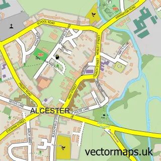
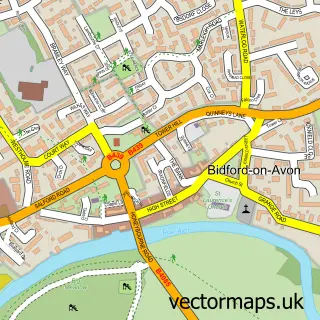
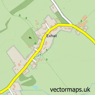
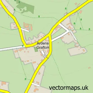
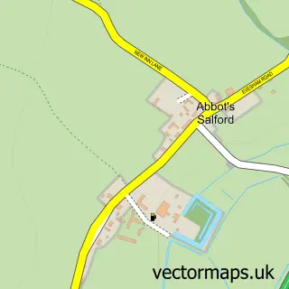
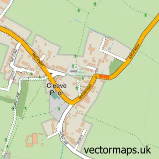
Nearby street map samples around Broom

More street maps in Warwickshire
750 metre map area coverage
Boundary, postcode and point of interest information for the 750m x 750m rectangle centred on this sample map.
Boundaries containing map centre
Constituency: Stratford-on-Avon Co Const
County: Warwickshire County
District: Stratford-on-Avon District
Icb: NHS Coventry and Warwickshire ICB
Parish: Bidford-on-Avon CP
Police Force: warwickshire
Postcode District: B50
Postcode Sector: B50 4
Ward: Bidford West Ward
Nearby boundaries intersecting sample
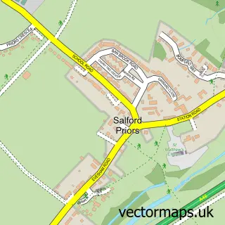
Parish: Salford Priors CP, Wixford CP
Postcode District: B49
Postcode Sector: B49 6
Ward: Salford Priors & Alcester Rural Ward
Postcode coverage
POI category counts
Pub: 3
Automotive Services And Repair: 1
Banks: 1
Beauty And Spa: 1
Bed And Breakfast: 1
Business: 1
Charity Organization: 1
Community Center: 1
Farming Services: 1
Garage Door Service: 1
Sample points of interest
- Dovetail by Design
- Lloyds Bank
- Eye Love You
- Tudor Barn
- The Bidford Pet Co Ltd
- The Royal Life Saving Society
- Broom Village Hall
- Buzzard Cameras Ltd.
- AGN Garage Doors & Maintenance
- Broom, Warwickshire
- Glued Ltd.
- Lilly's Dog Grooming
Create a larger editable map of Broom
This sample shows only a 750 metre area. To create a larger map of Broom, use our map builder to choose your own coverage area, add titles and download editable SVG, PDF and PNG files.
Create a custom map of Broom