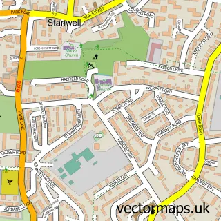
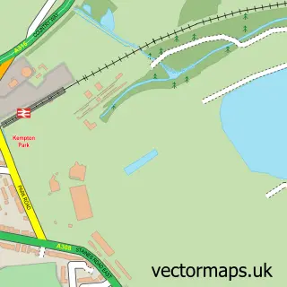
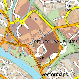
This Ashford street map is a detailed vector street map covering a 750m x 750m area. Select a larger area to create and download your own vector street map of Ashford.
The 750-metre map sample for Ashford covers 554 mapped buildings and approximately 21.1 km of road detail, of which 39 named roads are named. The immediate area includes 2 schools, 2 GP surgeries, with 9 within 2 miles, 1 pub and 17 MOT stations within 2 miles. The wider area around Ashford features 1 tourism point of interest, 9 food and drink venues and 1 hotel. To create a larger or custom map of Ashford, the map builder lets you define your own coverage area and download editable SVG, PDF and PNG files.
Create a larger editable map of Ashford
Choose any area you need and generate a high-quality vector map instantly. Perfect for print, planning, design, business and personal use.

This Ashford street map in Surrey is available as downloadable SVG, PDF and PNG map files, or as a printed map for planning, business, display, education, local information and design work. You can also create a larger custom map area using the map selector.
What this Ashford map sample shows
Ashford lies within Surrey County parish, part of Ashford East ward in the Spelthorne District (B) local authority area. The postcode geography for this area includes the TW postcode area, the TW15 postcode district and the TW15 2 postcode sector. Residents fall under the Nhs Surrey Heartlands Integrated Care Board for NHS services.
Local features near Ashford
Within 2 milesAmenities and services in and around Ashford.
Administrative and postcode information for Ashford
Ashford lies within Surrey County parish, part of Ashford East ward in the Spelthorne District (B) local authority area. The postcode geography for this area includes the TW postcode area, the TW15 postcode district and the TW15 2 postcode sector. Residents fall under the Nhs Surrey Heartlands Integrated Care Board for NHS services.
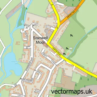
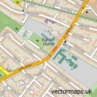
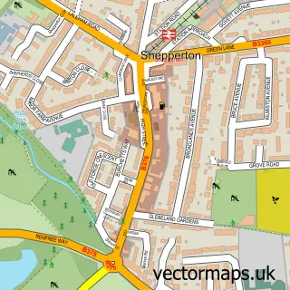
Nearby street map samples around Ashford

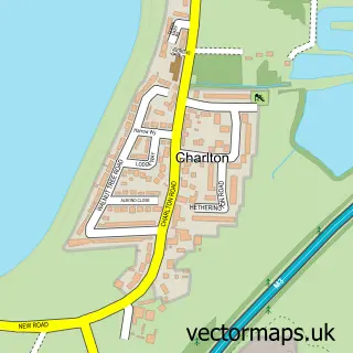
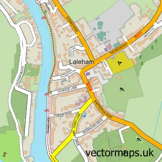
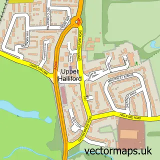

More street maps in Surrey
750 metre map area coverage
Boundary, postcode and point of interest information for the 750m x 750m rectangle centred on this sample map.
Boundaries containing map centre
Constituency: Spelthorne Boro Const
County: Surrey County
District: Spelthorne District (B)
Icb: NHS Surrey and Sussex ICB
Police Force: surrey
Postcode District: TW15
Postcode Sector: TW15 2
Ward: Ashford Town Ward
Nearby boundaries intersecting sample
Ward: Ashford East Ward
Postcode coverage
POI category counts
Real Estate Agent: 10
Beauty Salon: 9
Hair Salon: 8
Professional Services: 7
Financial Service: 6
Nail Salon: 6
Building Supply Store: 5
Burger Restaurant: 5
Coffee Shop: 5
Dentist: 5
Sample points of interest
- Health House
- Gad S
- Ashford Reiki
- St Matthew's Ashford
- The Parish Church of Saint Matthew
- Ashford Antiques Centre
- Cancer Research UK
- The A-Z Electrical Co. Ltd.
- Anne & Paul's Sew Simple
- Befilo - The Bespoke Joinery
- UK Tyre & Repair
- Timeless I.T Support Services
Create a larger editable map of Ashford
This sample shows only a 750 metre area. To create a larger map of Ashford, use our map builder to choose your own coverage area, add titles and download editable SVG, PDF and PNG files.
Create a custom map of Ashford