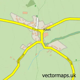
This Ashover street map is a detailed vector street map covering a 750m x 750m area. Select a larger area to create and download your own vector street map of Ashover.
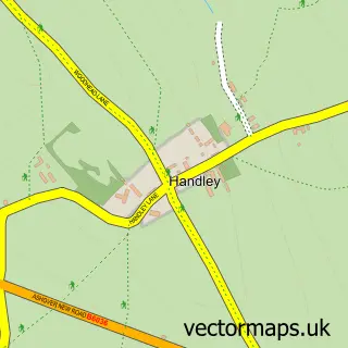
The 750-metre map sample for Ashover covers 149 mapped buildings and approximately 10.3 km of road detail, of which 11 named roads are named. The immediate area includes 1 school, 1 GP surgery within 2 miles and 5 pubs. The wider area around Ashover features 6 food and drink venues. To create a larger or custom map of Ashover, the map builder lets you define your own coverage area and download editable SVG, PDF and PNG files.
Create a larger editable map of Ashover
Choose any area you need and generate a high-quality vector map instantly. Perfect for print, planning, design, business and personal use.

This Ashover street map in Derbyshire is available as downloadable SVG, PDF and PNG map files, or as a printed map for planning, business, display, education, local information and design work. You can also create a larger custom map area using the map selector.
What this Ashover map sample shows
Ashover lies within Ashover Cp parish, part of Ashover ward in the North East Derbyshire District local authority area. The postcode geography for this area includes the S postcode area, the S45 postcode district and the S45 0 postcode sector. Residents fall under the Nhs Derby And Derbyshire Integrated Care Board for NHS services.
Local features near Ashover
Within 2 milesAmenities and services in and around Ashover.
Administrative and postcode information for Ashover
The local authority covering Ashover is North East Derbyshire District, within the county of Derbyshire. The settlement lies within Ashover ward and Ashover Cp civil parish. The S45 postcode district and S45 0 postcode sector serve the immediate area. NHS provision in the area is delivered through Chesterfield Royal Hospital Nhs Foundation Trust.
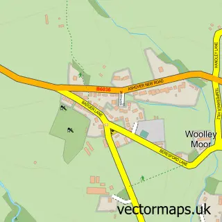
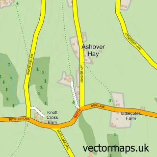
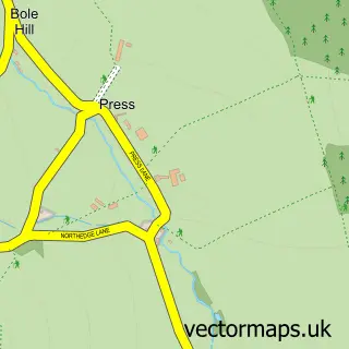
Nearby street map samples around Ashover

More street maps in Derbyshire
750 metre map area coverage
Boundary, postcode and point of interest information for the 750m x 750m rectangle centred on this sample map.
Boundaries containing map centre
Constituency: North East Derbyshire Co Const
County: Derbyshire County
District: North East Derbyshire District
Icb: NHS Derby and Derbyshire ICB
Parish: Ashover CP
Police Force: derbyshire
Postcode District: S45
Postcode Sector: S45 0
Ward: Ashover Ward
Nearby boundaries intersecting sample
No additional intersecting boundaries found.
Postcode coverage
POI category counts
Pub: 5
Topic Concert Venue: 2
Arts And Entertainment: 1
Brewery: 1
Business: 1
Business To Business: 1
Church Cathedral: 1
Coffee Shop: 1
Cooking School: 1
Education: 1
Sample points of interest
- Lily Hammond Art
- Ashover Brewery
- Ashover Cider Company
- Mount Gabriel Ltd.
- All Saints Church
- Stamp Coffee Shop
- Loaf and Larder
- Derbyshire County Council
- Ashover Primary School
- Ashover Show
- Tenacity Fitness
- Press Manor Fishing Lakes-Bernie Maher
Create a larger editable map of Ashover
This sample shows only a 750 metre area. To create a larger map of Ashover, use our map builder to choose your own coverage area, add titles and download editable SVG, PDF and PNG files.
Create a custom map of Ashover