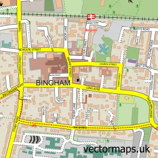
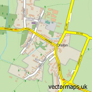
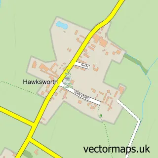
This Aslockton street map is a detailed vector street map covering a 750m x 750m area. Select a larger area to create and download your own vector street map of Aslockton.
The 750-metre map sample for Aslockton covers 314 mapped buildings and approximately 15.5 km of road detail, of which 21 named roads are named. The immediate area includes 1 school, 1 railway station, 2 pubs and 1 MOT station within 2 miles. The wider area around Aslockton features 1 tourism point of interest, 2 food and drink venues and 1 campsite within 2 miles. To create a larger or custom map of Aslockton, the map builder lets you define your own coverage area and download editable SVG, PDF and PNG files.
Create a larger editable map of Aslockton
Choose any area you need and generate a high-quality vector map instantly. Perfect for print, planning, design, business and personal use.

This Aslockton street map in Nottinghamshire is available as downloadable SVG, PDF and PNG map files, or as a printed map for planning, business, display, education, local information and design work. You can also create a larger custom map area using the map selector.
What this Aslockton map sample shows
Aslockton lies within Aslockton Cp parish, part of Cranmer ward in the Rushcliffe District (B) local authority area. The postcode geography for this area includes the NG postcode area, the NG13 postcode district and the NG13 9 postcode sector. Residents fall under the Nhs Nottingham And Nottinghamshire Integrated Care Board for NHS services.
Local features near Aslockton
Within 2 milesAmenities and services in and around Aslockton.
Administrative and postcode information for Aslockton
Aslockton lies within Aslockton Cp parish, part of Cranmer ward in the Rushcliffe District (B) local authority area. The postcode geography for this area includes the NG postcode area, the NG13 postcode district and the NG13 9 postcode sector. Residents fall under the Nhs Nottingham And Nottinghamshire Integrated Care Board for NHS services.
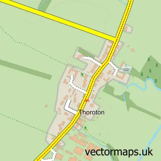
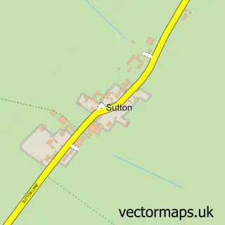
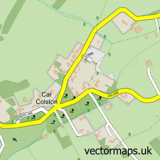
Nearby street map samples around Aslockton

More street maps in Nottinghamshire
750 metre map area coverage
Boundary, postcode and point of interest information for the 750m x 750m rectangle centred on this sample map.
Boundaries containing map centre
Constituency: Newark Co Const
County: Nottinghamshire County
District: Rushcliffe District (B)
Icb: NHS Nottingham and Nottinghamshire ICB
Parish: Aslockton CP
Police Force: nottinghamshire
Postcode District: NG13
Postcode Sector: NG13 9
Ward: Cranmer Ward
Nearby boundaries intersecting sample
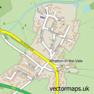
Parish: Whatton-in-the-Vale CP
Postcode coverage
POI category counts
Anglican Church: 2
Church Cathedral: 2
Occupational Therapy: 2
Pub: 2
Shipping Center: 2
Train Station: 2
Beauty Salon: 1
Bridal Shop: 1
Castle: 1
Delicatessen: 1
Sample points of interest
- Cranmer Group Vicarage
- St John of Beverley
- Goldy Locks hair salon
- EB1 Wedding Invitations
- Aslockton Castle
- St John of Beverley Church
- St Thomas's Church
- The Larder At Aslockton
- Goldy-Locks
- Rowson
- Archbishop Cranmer C of E School
- Peacock Inn
Create a larger editable map of Aslockton
This sample shows only a 750 metre area. To create a larger map of Aslockton, use our map builder to choose your own coverage area, add titles and download editable SVG, PDF and PNG files.
Create a custom map of Aslockton