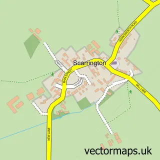
This Orston street map is a detailed vector street map covering a 750m x 750m area. Select a larger area to create and download your own vector street map of Orston.
The 750-metre map sample for Orston covers 182 mapped buildings and approximately 27.7 km of road detail, of which 16 named roads are named. The immediate area includes 1 school, 1 pub and 1 MOT station within 2 miles. The wider area around Orston features 1 food and drink venue and 1 campsite within 2 miles. To create a larger or custom map of Orston, the map builder lets you define your own coverage area and download editable SVG, PDF and PNG files.
Create a larger editable map of Orston
Choose any area you need and generate a high-quality vector map instantly. Perfect for print, planning, design, business and personal use.

This Orston street map in Nottinghamshire is available as downloadable SVG, PDF and PNG map files, or as a printed map for planning, business, display, education, local information and design work. You can also create a larger custom map area using the map selector.
What this Orston map sample shows
Orston lies within Orston Cp parish, part of Thoroton ward in the Rushcliffe District (B) local authority area. The postcode geography for this area includes the NG postcode area, the NG13 postcode district and the NG13 9 postcode sector. Residents fall under the Nhs Nottingham And Nottinghamshire Integrated Care Board for NHS services.
Local features near Orston
Within 2 milesAmenities and services in and around Orston.
Administrative and postcode information for Orston
Orston lies within Orston Cp parish, part of Thoroton ward in the Rushcliffe District (B) local authority area. The postcode geography for this area includes the NG postcode area, the NG13 postcode district and the NG13 9 postcode sector. Residents fall under the Nhs Nottingham And Nottinghamshire Integrated Care Board for NHS services.
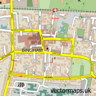
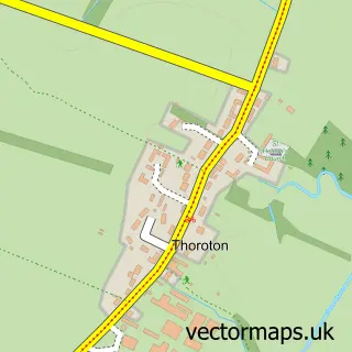
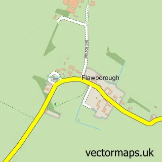
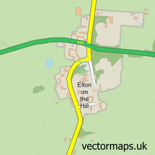
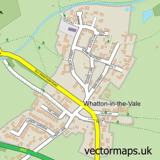
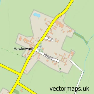
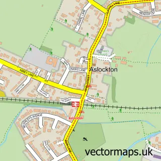
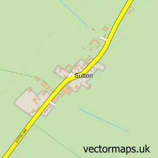
Nearby street map samples around Orston

More street maps in Nottinghamshire
750 metre map area coverage
Boundary, postcode and point of interest information for the 750m x 750m rectangle centred on this sample map.
Boundaries containing map centre
Constituency: Newark Co Const
County: Nottinghamshire County
District: Rushcliffe District (B)
Icb: NHS Nottingham and Nottinghamshire ICB
Parish: Orston CP
Police Force: nottinghamshire
Postcode District: NG13
Postcode Sector: NG13 9
Ward: Cranmer Ward
Nearby boundaries intersecting sample
No additional intersecting boundaries found.
Postcode coverage
POI category counts
Beauty Salon: 2
Equestrian Facility: 2
Advertising Agency: 1
Anglican Church: 1
Arts And Crafts: 1
Bike Repair Maintenance: 1
Boutique: 1
Elementary School: 1
Event Planning: 1
Graphic Designer: 1
Sample points of interest
- Churcher Associates
- St Mary
- Crafts4Kids Ltd.
- Aim For Beauty
- Mai Holistic Therapy
- Cycle Metrics
- Orston Stores
- Orston Primary School
- Dovecote Equestrian Centre
- Dovecote farm equestrian
- Orston Village Hall
- Vandergrafix
Create a larger editable map of Orston
This sample shows only a 750 metre area. To create a larger map of Orston, use our map builder to choose your own coverage area, add titles and download editable SVG, PDF and PNG files.
Create a custom map of Orston