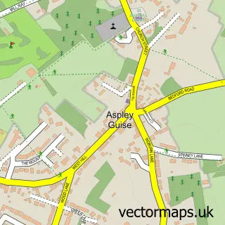
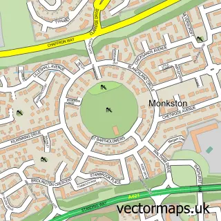
This Aspley Heath street map is a detailed vector street map covering a 750m x 750m area. Select a larger area to create and download your own vector street map of Aspley Heath.
The 750-metre map sample for Aspley Heath covers 135 mapped buildings and approximately 5.4 km of road detail, of which 8 named roads are named. The immediate area includes 1 GP surgery within 2 miles and 4 MOT stations within 2 miles. The wider area around Aspley Heath features 1 tourism point of interest. To create a larger or custom map of Aspley Heath, the map builder lets you define your own coverage area and download editable SVG, PDF and PNG files.
Create a larger editable map of Aspley Heath
Choose any area you need and generate a high-quality vector map instantly. Perfect for print, planning, design, business and personal use.

This Aspley Heath street map in Bedfordshire is available as downloadable SVG, PDF and PNG map files, or as a printed map for planning, business, display, education, local information and design work. You can also create a larger custom map area using the map selector.
What this Aspley Heath map sample shows
Aspley Heath lies within Woburn Sands Cp parish, part of Danesborough & Walton ward in the Milton Keynes (B) local authority area. The postcode geography for this area includes the MK postcode area, the MK17 postcode district and the MK17 8 postcode sector. Residents fall under the Nhs Bedfordshire, Luton And Milton Keynes Integrated Care Board for NHS services.
Local features near Aspley Heath
Within 2 milesAmenities and services in and around Aspley Heath.
Administrative and postcode information for Aspley Heath
Aspley Heath lies within Woburn Sands Cp parish, part of Danesborough & Walton ward in the Milton Keynes (B) local authority area. The postcode geography for this area includes the MK postcode area, the MK17 postcode district and the MK17 8 postcode sector. Residents fall under the Nhs Bedfordshire, Luton And Milton Keynes Integrated Care Board for NHS services.
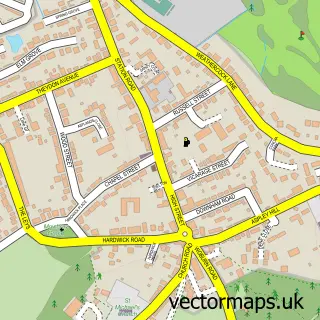
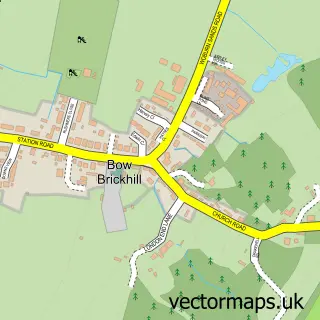
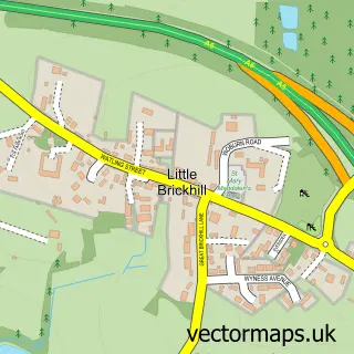
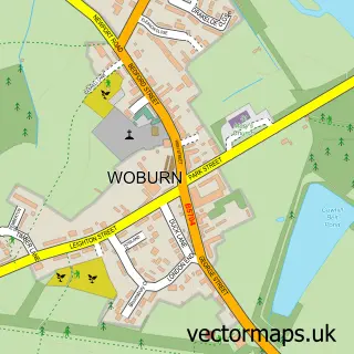
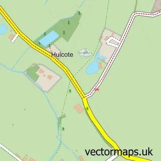
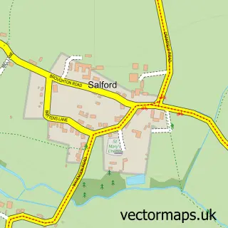
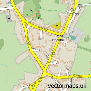
Nearby street map samples around Aspley Heath

More street maps in Bedfordshire
750 metre map area coverage
Boundary, postcode and point of interest information for the 750m x 750m rectangle centred on this sample map.
Boundaries containing map centre
Constituency: Mid Bedfordshire Co Const
District: Central Bedfordshire
Icb: NHS Central East ICB
Parish: Aspley Heath CP
Police Force: bedfordshire
Postcode District: MK17
Postcode Sector: MK17 8
Ward: Aspley & Woburn Ward
Nearby boundaries intersecting sample
Constituency: Milton Keynes Central Boro Const
District: Milton Keynes (B)
Parish: Woburn Sands CP
Police Force: thames valley
Ward: Danesborough & Walton Ward
Postcode coverage
POI category counts
Attractions And Activities: 1
Church Cathedral: 1
Junk Removal And Hauling: 1
School: 1
Sample points of interest
- Aspley Woods
- St Cuthbert, Egham
- B & J Skip Hire
- Fernwood School
Create a larger editable map of Aspley Heath
This sample shows only a 750 metre area. To create a larger map of Aspley Heath, use our map builder to choose your own coverage area, add titles and download editable SVG, PDF and PNG files.
Create a custom map of Aspley Heath