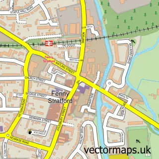
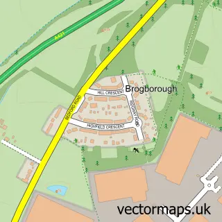
This Monkston street map is a detailed vector street map covering a 750m x 750m area. Select a larger area to create and download your own vector street map of Monkston.
The 750-metre map sample for Monkston covers 508 mapped buildings and approximately 41.2 km of road detail, of which 48 named roads are named. The immediate area includes 1 school, 5 GP surgeries within 2 miles and 8 MOT stations within 2 miles. The wider area around Monkston features 2 tourism points of interest and 1 campsite within 2 miles. To create a larger or custom map of Monkston, the map builder lets you define your own coverage area and download editable SVG, PDF and PNG files.
Create a larger editable map of Monkston
Choose any area you need and generate a high-quality vector map instantly. Perfect for print, planning, design, business and personal use.

This Monkston street map in Buckinghamshire is available as downloadable SVG, PDF and PNG map files, or as a printed map for planning, business, display, education, local information and design work. You can also create a larger custom map area using the map selector.
What this Monkston map sample shows
Monkston lies within Milton Keynes Cp parish, part of Broughton ward in the Milton Keynes (B) local authority area. The postcode geography for this area includes the MK postcode area, the MK10 postcode district and the MK10 9 postcode sector. Residents fall under the Nhs Bedfordshire, Luton And Milton Keynes Integrated Care Board for NHS services.
Local features near Monkston
Within 2 milesAmenities and services in and around Monkston.
Administrative and postcode information for Monkston
The local authority covering Monkston is Milton Keynes (B), within the county of Buckinghamshire. The settlement lies within Broughton ward and Milton Keynes Cp civil parish. The MK10 postcode district and MK10 9 postcode sector serve the immediate area. NHS provision in the area is delivered through Milton Keynes University Hospital Nhs Foundation Trust.
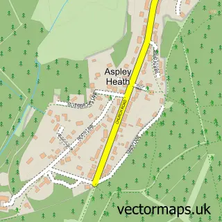
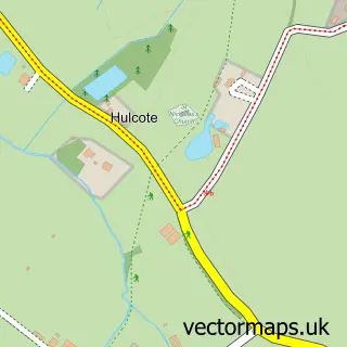
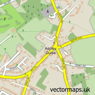
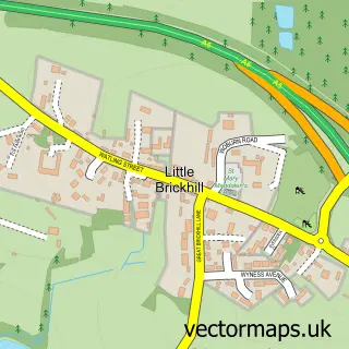
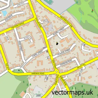
Nearby street map samples around Monkston

More street maps in Buckinghamshire
750 metre map area coverage
Boundary, postcode and point of interest information for the 750m x 750m rectangle centred on this sample map.
Boundaries containing map centre
Constituency: Milton Keynes Central Boro Const
District: Milton Keynes (B)
Icb: NHS Central East ICB
Parish: Kents Hill and Monkston CP
Police Force: thames valley
Postcode District: MK10
Postcode Sector: MK10 9
Ward: Monkston Ward
Nearby boundaries intersecting sample
Parish: Broughton and Milton Keynes CP
Postcode District: MK7
Postcode Sector: MK7 6
Ward: Broughton Ward
Postcode coverage
POI category counts
Church Cathedral: 4
Professional Services: 3
Beauty Salon: 2
Child Care And Day Care: 2
Gym: 2
Hair Salon: 2
Naturopathic Holistic: 2
Playground: 2
Theatre: 2
Acupuncture: 1
Sample points of interest
- MK Acupuncture
- Rejuvenation
- Restaurant MIlton Keynes
- Cleaning Direct Services
- Mrs Trumpet's Online Craft Market
- Monkston gardens
- GM Bodycraft
- Carons Cakery
- The 1:1 Diet by Cambridge Weight Plan
- Freestyle Hair
- Beauty by Julia
- Feeling Beautiful at Scalp & Face Clinic
Create a larger editable map of Monkston
This sample shows only a 750 metre area. To create a larger map of Monkston, use our map builder to choose your own coverage area, add titles and download editable SVG, PDF and PNG files.
Create a custom map of Monkston