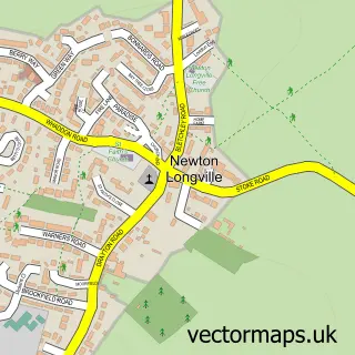
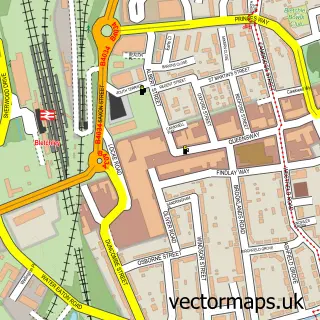
This Fenny Stratford street map is a detailed vector street map covering a 750m x 750m area. Select a larger area to create and download your own vector street map of Fenny Stratford.
The 750-metre map sample for Fenny Stratford covers 352 mapped buildings and approximately 29.9 km of road detail, of which 33 named roads are named. The immediate area includes 1 railway station, 7 GP surgeries within 2 miles, 5 pubs and 2 MOT stations, with 31 within 2 miles. The wider area around Fenny Stratford features 1 tourism point of interest, 11 food and drink venues and 4 hotels. To create a larger or custom map of Fenny Stratford, the map builder lets you define your own coverage area and download editable SVG, PDF and PNG files.
Create a larger editable map of Fenny Stratford
Choose any area you need and generate a high-quality vector map instantly. Perfect for print, planning, design, business and personal use.

This Fenny Stratford street map in Buckinghamshire is available as downloadable SVG, PDF and PNG map files, or as a printed map for planning, business, display, education, local information and design work. You can also create a larger custom map area using the map selector.
What this Fenny Stratford map sample shows
Fenny Stratford lies within Bletchley And Fenny Stratford Cp parish, part of Bletchley East ward in the Milton Keynes (B) local authority area. The postcode geography for this area includes the MK postcode area, the MK2 postcode district and the MK2 2 postcode sector. Residents fall under the Nhs Bedfordshire, Luton And Milton Keynes Integrated Care Board for NHS services.
Local features near Fenny Stratford
Within 2 milesAmenities and services in and around Fenny Stratford.
Administrative and postcode information for Fenny Stratford
Fenny Stratford lies within Bletchley And Fenny Stratford Cp parish, part of Bletchley East ward in the Milton Keynes (B) local authority area. The postcode geography for this area includes the MK postcode area, the MK2 postcode district and the MK2 2 postcode sector. Residents fall under the Nhs Bedfordshire, Luton And Milton Keynes Integrated Care Board for NHS services.
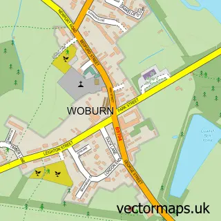
Nearby street map samples around Fenny Stratford

More street maps in Buckinghamshire
750 metre map area coverage
Boundary, postcode and point of interest information for the 750m x 750m rectangle centred on this sample map.
Boundaries containing map centre
Constituency: Buckingham and Bletchley Co Const
District: Milton Keynes (B)
Icb: NHS Central East ICB
Parish: Bletchley and Fenny Stratford CP
Police Force: thames valley
Postcode District: MK2
Postcode Sector: MK2 2
Ward: Bletchley East Ward
Nearby boundaries intersecting sample
Constituency: Milton Keynes Central Boro Const
Postcode District: MK1, MK17
Postcode Sector: MK1 1, MK17 9
Postcode coverage
POI category counts
Hair Salon: 11
Beauty Salon: 10
Building Supply Store: 10
Professional Services: 7
Tattoo And Piercing: 7
Automotive Repair: 6
Barber: 6
Gas Station: 6
Convenience Store: 5
Pub: 5
Sample points of interest
- Colin Wilks and Co
- Secret Pleasures
- Nigerian Food In Milton Keynes
- Osteopathic Clinic
- Biserica Ortodoxa 'Sf Ciprian si Iustina' din Milton Keynes
- Saint Martin's Parish Church
- St Martin's, Fenny Stratford
- Sellwells Fenny Antiques Centre
- Building Tectonics
- Tecton Art Gallery
- Country View Crafts
- Trophytoo
Create a larger editable map of Fenny Stratford
This sample shows only a 750 metre area. To create a larger map of Fenny Stratford, use our map builder to choose your own coverage area, add titles and download editable SVG, PDF and PNG files.
Create a custom map of Fenny Stratford