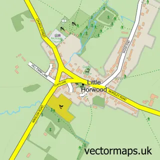
This Newton Longville street map is a detailed vector street map covering a 750m x 750m area. Select a larger area to create and download your own vector street map of Newton Longville.
The 750-metre map sample for Newton Longville covers 304 mapped buildings and approximately 21.7 km of road detail, of which 27 named roads are named. The immediate area includes 2 GP surgeries within 2 miles and 6 MOT stations within 2 miles. The wider area around Newton Longville features 1 food and drink venue. To create a larger or custom map of Newton Longville, the map builder lets you define your own coverage area and download editable SVG, PDF and PNG files.
Create a larger editable map of Newton Longville
Choose any area you need and generate a high-quality vector map instantly. Perfect for print, planning, design, business and personal use.

This Newton Longville street map in Buckinghamshire is available as downloadable SVG, PDF and PNG map files, or as a printed map for planning, business, display, education, local information and design work. You can also create a larger custom map area using the map selector.
What this Newton Longville map sample shows
Newton Longville lies within Newton Longville Cp parish, part of Great Brickhill & Newton Longville ward in the Buckinghamshire local authority area. The postcode geography for this area includes the MK postcode area, the MK17 postcode district and the MK17 0 postcode sector. Residents fall under the Nhs Bedfordshire, Luton And Milton Keynes Integrated Care Board for NHS services.
Local features near Newton Longville
Within 2 milesAmenities and services in and around Newton Longville.
Administrative and postcode information for Newton Longville
Newton Longville lies within Newton Longville Cp parish, part of Great Brickhill & Newton Longville ward in the Buckinghamshire local authority area. The postcode geography for this area includes the MK postcode area, the MK17 postcode district and the MK17 0 postcode sector. Residents fall under the Nhs Bedfordshire, Luton And Milton Keynes Integrated Care Board for NHS services.
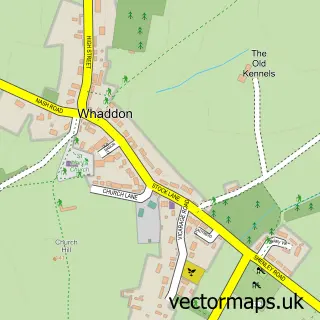
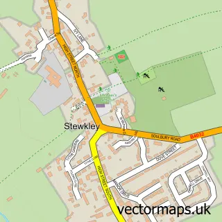
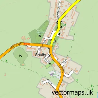
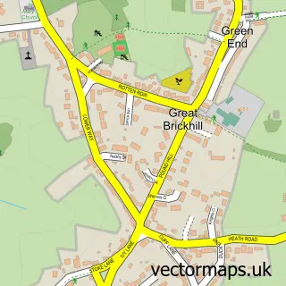
Nearby street map samples around Newton Longville

More street maps in Buckinghamshire
750 metre map area coverage
Boundary, postcode and point of interest information for the 750m x 750m rectangle centred on this sample map.
Boundaries containing map centre
Constituency: Buckingham and Bletchley Co Const
District: Buckinghamshire
Icb: NHS Central East ICB
Parish: Newton Longville CP
Police Force: thames valley
Postcode District: MK17
Postcode Sector: MK17 0
Ward: Newton Longville Ward
Nearby boundaries intersecting sample
No additional intersecting boundaries found.
Postcode coverage
POI category counts
Butcher Shop: 3
Tattoo And Piercing: 3
Accountant: 2
Assisted Living Facility: 2
Beauty Salon: 2
Church Cathedral: 2
Community Services Non Profits: 2
Elementary School: 2
Preschool: 2
Shipping Center: 2
Sample points of interest
- Gilly F Norris
- Proactive Accountant
- Newton Longville: St Faith
- Curly Tails Pig Sanctuary
- Red Lion
- Litslade Farm
- Turnstone Support
- Fingertips At Mane Attraction
- Mane Attraction
- Yew Tree Farm
- J.R.S Contracting Ltd.
- Neal Landscapes
Create a larger editable map of Newton Longville
This sample shows only a 750 metre area. To create a larger map of Newton Longville, use our map builder to choose your own coverage area, add titles and download editable SVG, PDF and PNG files.
Create a custom map of Newton Longville