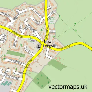
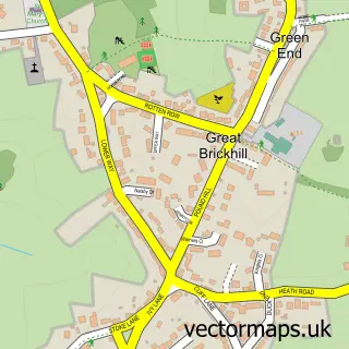
This Bletchley street map is a detailed vector street map covering a 750m x 750m area. Select a larger area to create and download your own vector street map of Bletchley.
The 750-metre map sample for Bletchley covers 317 mapped buildings and approximately 41.4 km of road detail, of which 39 named roads are named. The immediate area includes 1 railway station, 2 GP surgeries, with 6 within 2 miles, 1 pub and 2 MOT stations, with 32 within 2 miles. The wider area around Bletchley features 1 tourism point of interest, 18 food and drink venues and 1 hotel. To create a larger or custom map of Bletchley, the map builder lets you define your own coverage area and download editable SVG, PDF and PNG files.
Create a larger editable map of Bletchley
Choose any area you need and generate a high-quality vector map instantly. Perfect for print, planning, design, business and personal use.

This Bletchley street map in Buckinghamshire is available as downloadable SVG, PDF and PNG map files, or as a printed map for planning, business, display, education, local information and design work. You can also create a larger custom map area using the map selector.
What this Bletchley map sample shows
Bletchley lies within Bletchley And Fenny Stratford Cp parish, part of Bletchley East ward in the Milton Keynes (B) local authority area. The postcode geography for this area includes the MK postcode area, the MK2 postcode district and the MK2 2 postcode sector. Residents fall under the Nhs Bedfordshire, Luton And Milton Keynes Integrated Care Board for NHS services.
Local features near Bletchley
Within 2 milesAmenities and services in and around Bletchley.
Administrative and postcode information for Bletchley
The local authority covering Bletchley is Milton Keynes (B), within the county of Buckinghamshire. The settlement lies within Bletchley East ward and Bletchley And Fenny Stratford Cp civil parish. The MK2 postcode district and MK2 2 postcode sector serve the immediate area. NHS provision in the area is delivered through Milton Keynes University Hospital Nhs Foundation Trust.
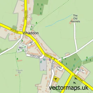
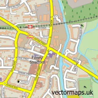
Nearby street map samples around Bletchley

More street maps in Buckinghamshire
750 metre map area coverage
Boundary, postcode and point of interest information for the 750m x 750m rectangle centred on this sample map.
Boundaries containing map centre
Constituency: Buckingham and Bletchley Co Const
District: Milton Keynes (B)
Icb: NHS Central East ICB
Parish: Bletchley and Fenny Stratford CP
Police Force: thames valley
Postcode District: MK2
Postcode Sector: MK2 2
Ward: Bletchley Park Ward
Nearby boundaries intersecting sample
Parish: West Bletchley CP
Postcode District: MK3
Postcode Sector: MK2 3, MK3 5, MK3 6
Ward: Bletchley East Ward
Postcode coverage
POI category counts
Beauty Salon: 15
Restaurant: 10
Indian Restaurant: 9
Barber: 8
Nail Salon: 8
Fast Food Restaurant: 7
Hair Salon: 7
Tattoo And Piercing: 6
Train Station: 6
Charity Organization: 5
Sample points of interest
- Donett Catering Services
- Upper Crust
- MERKUR Slots Bletchley
- Marie Curie
- Mind Charity Shop
- Willen Hospice
- B D S Audio Visual Ltd.
- BDS Audio Visual Ltd.
- The Dirty Needle
- J N Oriental
- Disabilities Trust
- Wellers Auctions
Create a larger editable map of Bletchley
This sample shows only a 750 metre area. To create a larger map of Bletchley, use our map builder to choose your own coverage area, add titles and download editable SVG, PDF and PNG files.
Create a custom map of Bletchley