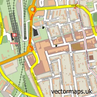
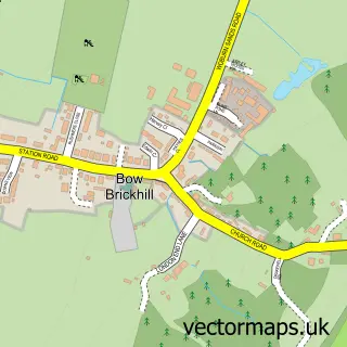
This Stoke Hammond street map is a detailed vector street map covering a 750m x 750m area. Select a larger area to create and download your own vector street map of Stoke Hammond.
The 750-metre map sample for Stoke Hammond covers 368 mapped buildings and approximately 20.9 km of road detail, of which 23 named roads are named. The immediate area includes 1 pub and 3 MOT stations within 2 miles. The wider area around Stoke Hammond features 1 food and drink venue and 2 campsites within 2 miles. To create a larger or custom map of Stoke Hammond, the map builder lets you define your own coverage area and download editable SVG, PDF and PNG files.
Create a larger editable map of Stoke Hammond
Choose any area you need and generate a high-quality vector map instantly. Perfect for print, planning, design, business and personal use.

This Stoke Hammond street map in Buckinghamshire is available as downloadable SVG, PDF and PNG map files, or as a printed map for planning, business, display, education, local information and design work. You can also create a larger custom map area using the map selector.
What this Stoke Hammond map sample shows
Stoke Hammond lies within Stoke Hammond Cp parish, part of Great Brickhill & Newton Longville ward in the Buckinghamshire local authority area. The postcode geography for this area includes the MK postcode area, the MK17 postcode district and the MK17 9 postcode sector. Residents fall under the Nhs Bedfordshire, Luton And Milton Keynes Integrated Care Board for NHS services.
Local features near Stoke Hammond
Within 2 milesAmenities and services in and around Stoke Hammond.
Administrative and postcode information for Stoke Hammond
Stoke Hammond lies within Stoke Hammond Cp parish, part of Great Brickhill & Newton Longville ward in the Buckinghamshire local authority area. The postcode geography for this area includes the MK postcode area, the MK17 postcode district and the MK17 9 postcode sector. Residents fall under the Nhs Bedfordshire, Luton And Milton Keynes Integrated Care Board for NHS services.
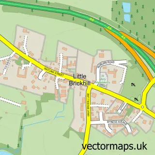
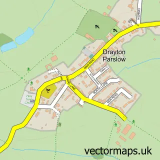
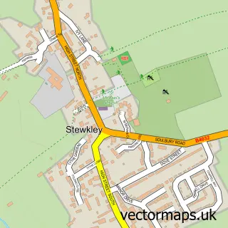
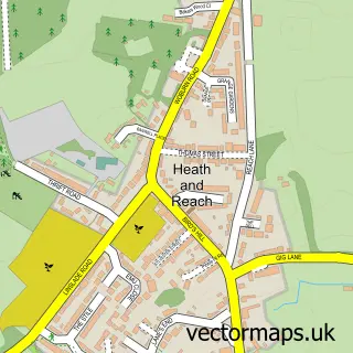
Nearby street map samples around Stoke Hammond

More street maps in Buckinghamshire
750 metre map area coverage
Boundary, postcode and point of interest information for the 750m x 750m rectangle centred on this sample map.
Boundaries containing map centre
Constituency: Buckingham and Bletchley Co Const
District: Buckinghamshire
Icb: NHS Central East ICB
Parish: Stoke Hammond CP
Police Force: thames valley
Postcode District: MK17
Postcode Sector: MK17 9
Ward: Newton Longville Ward
Nearby boundaries intersecting sample
No additional intersecting boundaries found.
Postcode coverage
POI category counts
Building Supply Store: 3
Convenience Store: 3
Beauty Salon: 2
Gardener: 2
Advertising Agency: 1
Anglican Church: 1
Auto Parts And Supply Store: 1
Bar: 1
Bed And Breakfast: 1
Car Dealer: 1
Sample points of interest
- Pencil Box Design
- Stoke Hammond St Luke
- Rapid Recovery Mk
- The Dolphin Pub
- Beauty Just For You
- Donna Saggerson - Beauty & Waxing Specialist
- The Old Stables
- Ambassador Chem-dry
- Complete Hvac Services
- M K Electrical
- Key Motor Company
- Key Vehicle Rentals
Create a larger editable map of Stoke Hammond
This sample shows only a 750 metre area. To create a larger map of Stoke Hammond, use our map builder to choose your own coverage area, add titles and download editable SVG, PDF and PNG files.
Create a custom map of Stoke Hammond