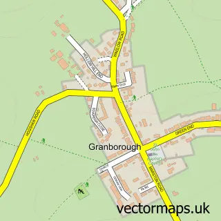
This Mursley street map is a detailed vector street map covering a 750m x 750m area. Select a larger area to create and download your own vector street map of Mursley.
The 750-metre map sample for Mursley covers 214 mapped buildings and approximately 20.5 km of road detail, of which 11 named roads are named. The immediate area includes 1 school and 1 pub. The wider area around Mursley features 1 food and drink venue. To create a larger or custom map of Mursley, the map builder lets you define your own coverage area and download editable SVG, PDF and PNG files.
Create a larger editable map of Mursley
Choose any area you need and generate a high-quality vector map instantly. Perfect for print, planning, design, business and personal use.

This Mursley street map in Buckinghamshire is available as downloadable SVG, PDF and PNG map files, or as a printed map for planning, business, display, education, local information and design work. You can also create a larger custom map area using the map selector.
What this Mursley map sample shows
Mursley lies within Mursley Cp parish, part of Great Brickhill & Newton Longville ward in the Buckinghamshire local authority area. The postcode geography for this area includes the MK postcode area, the MK17 postcode district and the MK17 0 postcode sector. Residents fall under the Nhs Bedfordshire, Luton And Milton Keynes Integrated Care Board for NHS services.
Local features near Mursley
Within 2 milesAmenities and services in and around Mursley.
Administrative and postcode information for Mursley
Mursley lies within Mursley Cp parish, part of Great Brickhill & Newton Longville ward in the Buckinghamshire local authority area. The postcode geography for this area includes the MK postcode area, the MK17 postcode district and the MK17 0 postcode sector. Residents fall under the Nhs Bedfordshire, Luton And Milton Keynes Integrated Care Board for NHS services.
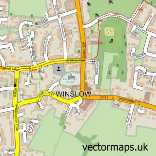
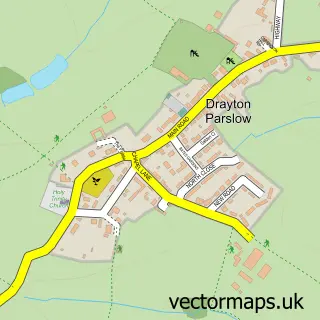
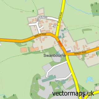
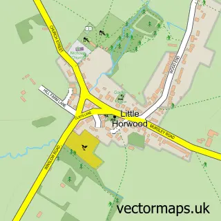
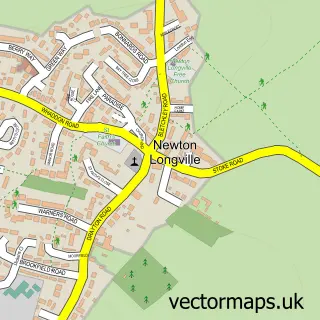
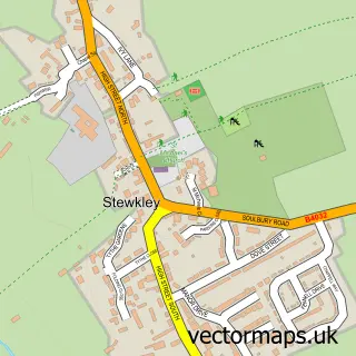
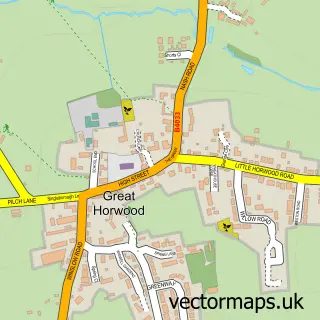
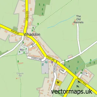
Nearby street map samples around Mursley

More street maps in Buckinghamshire
750 metre map area coverage
Boundary, postcode and point of interest information for the 750m x 750m rectangle centred on this sample map.
Boundaries containing map centre
Constituency: Buckingham and Bletchley Co Const
District: Buckinghamshire
Icb: NHS Central East ICB
Parish: Mursley CP
Police Force: thames valley
Postcode District: MK17
Postcode Sector: MK17 0
Ward: Newton Longville Ward
Nearby boundaries intersecting sample
No additional intersecting boundaries found.
Postcode coverage
POI category counts
Adult Education: 1
Anglican Church: 1
Automotive Repair: 1
Building Supply Store: 1
Caterer: 1
Church Cathedral: 1
Cleaning Services: 1
Community Center: 1
Elementary School: 1
Farm: 1
Sample points of interest
- Aster Interim Solutions
- Mursley: St Mary the Virgin
- Buckingham Motor Works
- RGC Engineers
- Lorimpex UK
- St Marys Church Mursley
- Any Level Clearance
- Friends of Mursley Village Hall
- Mursley C of E School
- Oaktree Acres Flower Farm
- Rebecca Marsala Weddings
- J H Bonham & Son
Create a larger editable map of Mursley
This sample shows only a 750 metre area. To create a larger map of Mursley, use our map builder to choose your own coverage area, add titles and download editable SVG, PDF and PNG files.
Create a custom map of Mursley