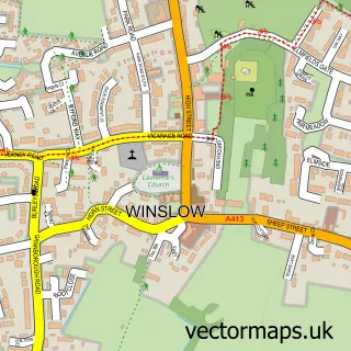
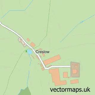
This Swanbourne street map is a detailed vector street map covering a 750m x 750m area. Select a larger area to create and download your own vector street map of Swanbourne.
The 750-metre map sample for Swanbourne covers 104 mapped buildings and approximately 16.8 km of road detail, of which 6 named roads are named. The immediate area includes 2 schools and 1 MOT station within 2 miles. To create a larger or custom map of Swanbourne, the map builder lets you define your own coverage area and download editable SVG, PDF and PNG files.
Create a larger editable map of Swanbourne
Choose any area you need and generate a high-quality vector map instantly. Perfect for print, planning, design, business and personal use.

This Swanbourne street map in Buckinghamshire is available as downloadable SVG, PDF and PNG map files, or as a printed map for planning, business, display, education, local information and design work. You can also create a larger custom map area using the map selector.
What this Swanbourne map sample shows
Swanbourne lies within Swanbourne Cp parish, part of Stewkley ward in the Buckinghamshire local authority area. The postcode geography for this area includes the MK postcode area, the MK17 postcode district and the MK17 0 postcode sector. Residents fall under the Nhs Buckinghamshire, Oxfordshire And Berkshire West Integrated Care Board for NHS services.
Local features near Swanbourne
Within 2 milesAmenities and services in and around Swanbourne.
Administrative and postcode information for Swanbourne
The local authority covering Swanbourne is Buckinghamshire, within the county of Buckinghamshire. The settlement lies within Stewkley ward and Swanbourne Cp civil parish. The MK17 postcode district and MK17 0 postcode sector serve the immediate area. NHS provision in the area is delivered through Milton Keynes University Hospital Nhs Foundation Trust.
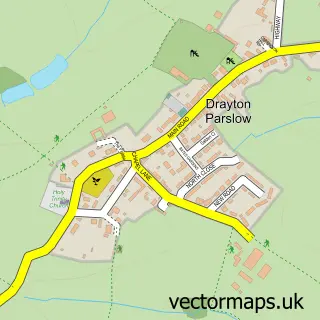
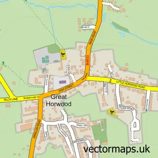
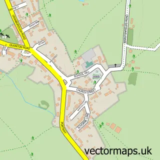
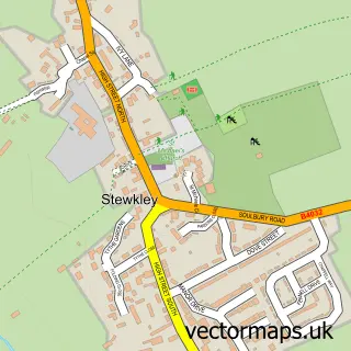
Nearby street map samples around Swanbourne

More street maps in Buckinghamshire
750 metre map area coverage
Boundary, postcode and point of interest information for the 750m x 750m rectangle centred on this sample map.
Boundaries containing map centre
Constituency: Buckingham and Bletchley Co Const
District: Buckinghamshire
Icb: NHS Thames Valley ICB
Parish: Swanbourne CP
Police Force: thames valley
Postcode District: MK17
Postcode Sector: MK17 0
Ward: Newton Longville Ward
Nearby boundaries intersecting sample
No additional intersecting boundaries found.
Postcode coverage
POI category counts
Alternative Medicine: 1
Anglican Church: 1
Car Dealer: 1
Currency Exchange: 1
Day Care Preschool: 1
Doctor: 1
Education: 1
Environmental Conservation Organization: 1
Food: 1
Gym: 1
Sample points of interest
- The Herbalist
- Swanbourne: St Swithun's
- Mark Robins Vehicle Solutions
- Post Office Travel Money
- Ashbourne Day Nurseries at Swanbourne
- See Me GP
- Swanbourne C of E School
- Bernwood E C S
- Biltong Ninja
- Rumble Fitness and Obstacle Sports Academy
- Home Farm Day Nursery
- The Motorcycle Barn
Create a larger editable map of Swanbourne
This sample shows only a 750 metre area. To create a larger map of Swanbourne, use our map builder to choose your own coverage area, add titles and download editable SVG, PDF and PNG files.
Create a custom map of Swanbourne