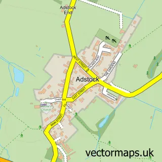
This Little Horwood street map is a detailed vector street map covering a 750m x 750m area. Select a larger area to create and download your own vector street map of Little Horwood.
The 750-metre map sample for Little Horwood covers 129 mapped buildings and approximately 9.9 km of road detail, of which 6 named roads are named. The immediate area includes 3 pubs and 3 MOT stations within 2 miles. The wider area around Little Horwood features 3 food and drink venues and 1 hotel. To create a larger or custom map of Little Horwood, the map builder lets you define your own coverage area and download editable SVG, PDF and PNG files.
Create a larger editable map of Little Horwood
Choose any area you need and generate a high-quality vector map instantly. Perfect for print, planning, design, business and personal use.

This Little Horwood street map in Buckinghamshire is available as downloadable SVG, PDF and PNG map files, or as a printed map for planning, business, display, education, local information and design work. You can also create a larger custom map area using the map selector.
What this Little Horwood map sample shows
Little Horwood lies within Little Horwood Cp parish, part of Great Horwood ward in the Buckinghamshire local authority area. The postcode geography for this area includes the MK postcode area, the MK17 postcode district and the MK17 0 postcode sector. Residents fall under the Nhs Buckinghamshire, Oxfordshire And Berkshire West Integrated Care Board for NHS services.
Local features near Little Horwood
Within 2 milesAmenities and services in and around Little Horwood.
Administrative and postcode information for Little Horwood
Little Horwood lies within Little Horwood Cp parish, part of Great Horwood ward in the Buckinghamshire local authority area. The postcode geography for this area includes the MK postcode area, the MK17 postcode district and the MK17 0 postcode sector. Residents fall under the Nhs Buckinghamshire, Oxfordshire And Berkshire West Integrated Care Board for NHS services.
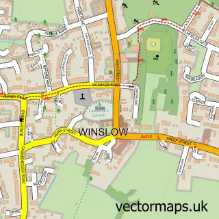
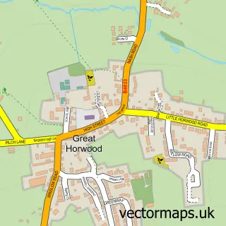
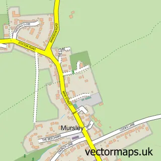
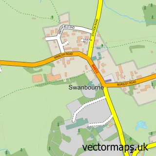
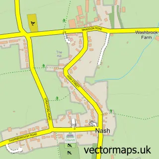
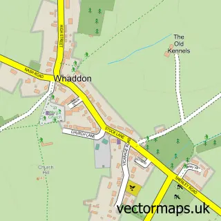
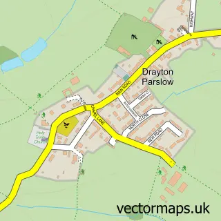
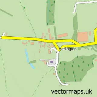
Nearby street map samples around Little Horwood

More street maps in Buckinghamshire
750 metre map area coverage
Boundary, postcode and point of interest information for the 750m x 750m rectangle centred on this sample map.
Boundaries containing map centre
Constituency: Buckingham and Bletchley Co Const
District: Buckinghamshire
Icb: NHS Thames Valley ICB
Parish: Little Horwood CP
Police Force: thames valley
Postcode District: MK17
Postcode Sector: MK17 0
Ward: Horwood Ward
Nearby boundaries intersecting sample
No additional intersecting boundaries found.
Postcode coverage
POI category counts
Pub: 3
Advertising Agency: 2
Anglican Church: 2
Fish And Chips Restaurant: 1
Furniture Assembly: 1
Home Goods Store: 1
Hotel: 1
Industrial Equipment: 1
Marketing Agency: 1
Martial Arts Club: 1
Sample points of interest
- Bottled Creativity
- P G W
- Little Horwood: St Nicholas
- St Nicholas Church
- Howe & Co Fish and Chips
- Diane Merner Upholstery
- Edward Williams Furniture
- Little Horwood Village
- Milton Keynes Plant Hire Ltd
- The Business Marketing Company
- Circle Of Vigour Jiu Jitsu
- 2SH Photography
Create a larger editable map of Little Horwood
This sample shows only a 750 metre area. To create a larger map of Little Horwood, use our map builder to choose your own coverage area, add titles and download editable SVG, PDF and PNG files.
Create a custom map of Little Horwood