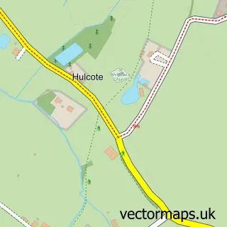
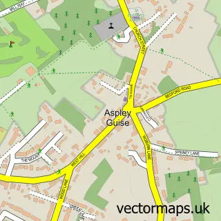
This Moulsoe street map is a detailed vector street map covering a 750m x 750m area. Select a larger area to create and download your own vector street map of Moulsoe.
The 750-metre map sample for Moulsoe covers 68 mapped buildings and approximately 5.2 km of road detail, of which 2 named roads are named. The immediate area includes 2 GP surgeries within 2 miles and 5 MOT stations within 2 miles. The wider area around Moulsoe features 1 hotel. To create a larger or custom map of Moulsoe, the map builder lets you define your own coverage area and download editable SVG, PDF and PNG files.
Create a larger editable map of Moulsoe
Choose any area you need and generate a high-quality vector map instantly. Perfect for print, planning, design, business and personal use.

This Moulsoe street map in Buckinghamshire is available as downloadable SVG, PDF and PNG map files, or as a printed map for planning, business, display, education, local information and design work. You can also create a larger custom map area using the map selector.
What this Moulsoe map sample shows
Moulsoe lies within Moulsoe Cp parish, part of Olney ward in the Milton Keynes (B) local authority area. The postcode geography for this area includes the MK postcode area, the MK16 postcode district and the MK16 0 postcode sector. Residents fall under the Nhs Bedfordshire, Luton And Milton Keynes Integrated Care Board for NHS services.
Local features near Moulsoe
Within 2 milesAmenities and services in and around Moulsoe.
Administrative and postcode information for Moulsoe
The local authority covering Moulsoe is Milton Keynes (B), within the county of Buckinghamshire. The settlement lies within Olney ward and Moulsoe Cp civil parish. The MK16 postcode district and MK16 0 postcode sector serve the immediate area. NHS provision in the area is delivered through Milton Keynes University Hospital Nhs Foundation Trust.
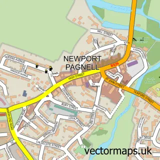
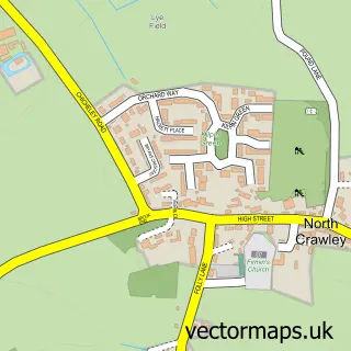
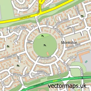
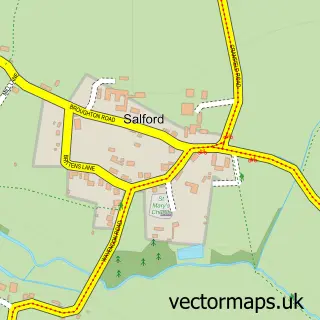
Nearby street map samples around Moulsoe

More street maps in Buckinghamshire
750 metre map area coverage
Boundary, postcode and point of interest information for the 750m x 750m rectangle centred on this sample map.
Boundaries containing map centre
Constituency: Milton Keynes North Co Const
District: Milton Keynes (B)
Icb: NHS Central East ICB
Parish: Moulsoe CP
Police Force: thames valley
Postcode District: MK16
Postcode Sector: MK16 0
Ward: Olney Ward
Nearby boundaries intersecting sample
No additional intersecting boundaries found.
Postcode coverage
POI category counts
Anglican Church: 1
Business Equipment And Supply: 1
Cabin: 1
Cleaning Services: 1
Corporate Entertainment Services: 1
Farm: 1
Home Cleaning: 1
Home Goods Store: 1
Hotel: 1
Sporting Goods: 1
Sample points of interest
- Assumption of the Blessed Virgin Mary
- Classic Tableware Hire
- Yew Tree Holiday Cottage
- Classic Clearances
- Ellis Elite Events
- Tickford Park Farm
- Classic Clearances
- Office Furniture Requirements
- Yew Tree Cottage
- KR Sport
Create a larger editable map of Moulsoe
This sample shows only a 750 metre area. To create a larger map of Moulsoe, use our map builder to choose your own coverage area, add titles and download editable SVG, PDF and PNG files.
Create a custom map of Moulsoe